
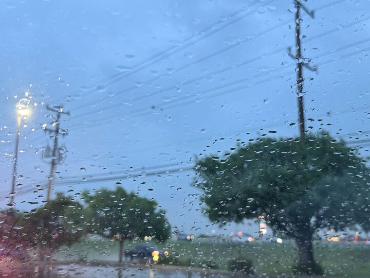
Most of South Central Texas will be under a 24-hour flood watch, starting this evening and ending Friday night, May 1. The National Weather Service is warning a sudden dousing of heavy rainfall could lead to life threatening floods, particularly along low-water crossings or areas with “poor drainage.”
The warning is pretty widespread, spreading across much of the Texas Hill Country, across San Antonio and down to Pleasanton. It even spreads east past New Braunfels up to Austin and even Georgetown.
“There is potential for life-threatening flooding somewhere in the watch area Excessive runoff may result in flooding of rivers, creeks, streams and other low-lying and flood-prone locations,” the National Weather Service warns.
The national forecaster says somewhere between 2 and 4 inches is expected in some areas, but a whopping 6 inches within 24 hours in some isolated areas. The Texas Hill Country, San Antonio and cities stretching along I-35 past Austin and up to Georgetown are under a Level 2 of 4 risk for excess rainfall, according to the latest from the NWS.
“Creeks and streams may rise out of their banks. Flooding may occur in poor drainage and urban areas,” the weather predictor reports – a particular concern considering the rising critique of San Antonio’s drainage ways that are prone to flooding.
With sever weather season in full swing in Texas, there’s been a steep climb in thunderstorm and severe events across the state in recent weeks.