
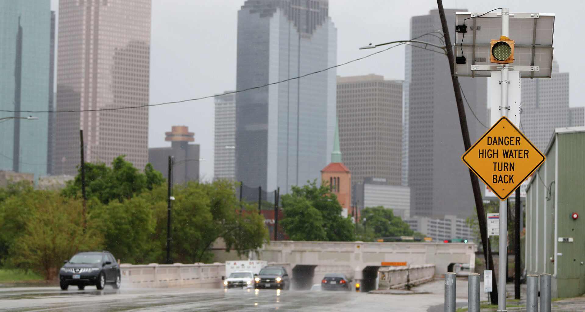
Meteorologists have warned that rainfall totals will likely amount to between two and four inches, with totals of six inches or higher possible. Forecasts are warning Houstonians that low-lying areas, rivers, creeks and roads could flood.
“There is potential for extended periods of heavy rainfall due to training storms, which can cause instances of flooding, especially in urban areas, low-lying areas, and areas with poor drainage,” Houston-Galveston NWS forecasters wrote in their outlook Thursday.
Periods of rain coverage are expected to be greatest on Friday afternoon into the night. Most of the area is at a slight risk (a 2 out of 4) for excessive rainfall into early Saturday.
Forecasters aren’t ruling out the potential for a few strong to severe cells, noting that if thunderstorms form, they could be severe. Potential impacts include damaging wind gusts, large hail and the potential for an isolated tornado. Hazardous marine conditions are also anticipated.
“Elevated stronger cells north of the surface front could be a hail risk,” the NWS Houston-Galveston Office wrote. “Along and south of the surface front (southern/coastal areas) could see an isolated tornado/waterspout and wind risk as well.”