
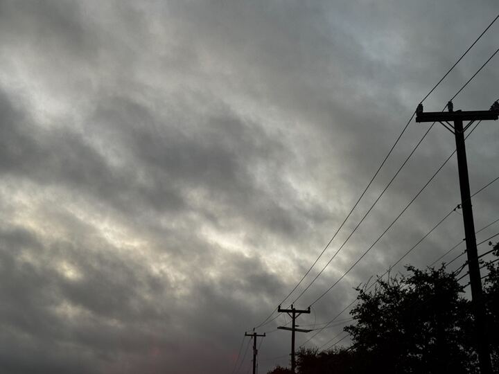
A strong cold front already plummeting temperatures across Texas is ensuring spring lives up to its severe weather season title. As temperatures nosedive, storm odds skyrocket across the Lone Star State Friday, May 1.
Most regions of Texas are facing a rainy start to the weekend thanks to a burst of arctic air that’s sweeping Texas. In typical fashion, the Texas Panhandle will be the first to see the action. Gloomy weather first set in Thursday, but odds quickly climbed. By Friday, there’s a 90% chance of rain that dips into the evening.
But it means temperatures will cool even further, providing some reprieve from nearly summer-like highs hitting here and there over the past few weeks.
“With the increasing rain activity and continued cloud cover and lowering H5 heights temperatures are expected to be even cooler for Friday. Afternoon temperatures are looking to be well below normal in the lower 50s to the west and upper 50s to the east,” the National Weather Service Amarillo office reports.
Dallas first saw a serious cooldown on Thursday, with afternoon highs dipping into the 60s. But Friday will be even chillier, with lows at the bottom end of the 50s and the high staying below 60 degrees.
However, the greater Dallas-Fort Worth metro will also be plagued with gloomy days as it recovers from rounds of massive hail and even a tornado. Shower odds climb to 80% Friday, and it’s expected to have far reaching impacts.
“Widespread showers and a few thunderstorms will increase in coverage across Central Texas and gradually spread north into North Texas during the day Friday. Friday looks to be an all-day rain event for much of the region,” the National Weather Service’s DFW site warns.
Even South Central Texas cities that sometimes miss out on these fronts, which can stall out north of San Antonio or Austin, are seeing some strong impact. San Antonio shouldn’t get past the mid-60s at the hottest point on Friday, and chilly evenings in the low 50s are expected for most of the weekend.
Yet again, though, it means more storm clouds. In fact, the Alamo City and much of the region are under a flood watch through the earlier hours of Friday evening.
The NWS flood watch encompasses San Antonio and much of the Texas Hill Country warns. It remains in place until 9 p.m. Friday and states:
“There is a potential for LIFE-THREATENING flooding somewhere in the watch area. Excessive runoff may result in flooding of rivers, creeks, streams, and other low-lying and flood-prone locations. Creeks and streams may rise out of their banks. Flooding may occur in poor drainage and urban areas. Low-water crossings may be flooded.”