
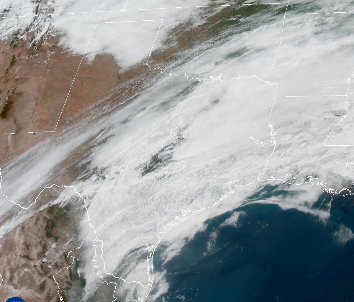
Once the front passed through the Austin metro area, cooler air quickly filtered into the region, causing storms to weaken by midday. In its wake, Central Texas was left with drier air, gusty north winds and noticeably lower temperatures.
Thursday will be Austin’s coolest day of the week, thanks to the midweek cold front. Morning temperatures will start out in the upper 50s and lower 60s — which are close to the average temps for early May — but afternoon readings will struggle to climb out of the lower 70s under mostly cloudy skies and breezy north winds. Rain chances in Austin remain very low Thursday, with most of the shower activity expected to stay to the south.
Make sure to get outside and enjoy this refreshing break from the humidity because it won’t last long. Still, we’ll gladly take it, particularly because cold fronts this strong become much less common during the month of May.
The weather turns more active heading into Friday and the weekend, as Wednesday’s cold front stalls across South Texas and becomes he focus for more showers and thunderstorms.
At the same time, a large upper-level atmospheric disturbance will break away from the main jet stream and drift into northern Mexico and southwest Texas over the weekend. This setup is expected to bring periods of scattered showers and thunderstorms across the Lone Star State, from Friday through Sunday.
That said, there’s no need to cancel outdoor weekend plans just yet. While periods of rain and thunderstorms will occur, it does not look like an all-day washout on any one day. Rain chances will range between 40% and 50% from Friday through Sunday.
At this time, severe weather is not likely, but a few pockets of heavy rainfall could develop, especially south of the Austin metro area. That’s where the National Weather Service’s flood forecasters at the Weather Prediction Center has assigned a level 1 out of 4 risk, or at least a 5% chance, of excessive rainfall on both days.
Locally, rainfall totals between now and Monday morning are forecast to range from around a half-inch to 1.5 inches. Beyond the weekend, the forecast becomes a bit murky as models continue to disagree on the timing of more storm systems next week. It does appear that the weather pattern will remain active, but it’s still too early to pinpoint which specific days will have the best chances for rain.