
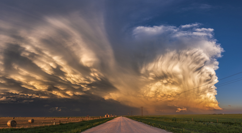
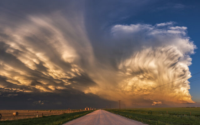
Extreme weather with a very dramatic Supercell catching the light at sunset, South East of Perryton, Texas, USA
SAN ANTONIO (KTSA News) — The National Weather Service is calling for more thunderstorms in the area as you head into the weekend.
When the severe weather happens all depends on where you are.
A line of thunderstorms is expected to start to the west in the Rio Grande Valley around 4 p.m. and start heading east. San Antonio could be in line for severe weather around 7 p.m. Areas as far east as La Grange could get hit by 9 p.m.
What to know:
Large hail and lightning are the main hazards
50 to 70% of rain and storm chances for Coastal Plains and I-35 corridor
20 to 40% of rain and storm chances for Rio Grande, southern Edwards Plateau, and Hill Country
High rainfall rates could lead to isolated instances of flash flooding of creeks, streams, urban areas, and other poor drainage areas
Isolated strong to severe storms
Large hail, strong to damaging wind gusts, and lightning are main hazards
Stay tuned to 550 KTSA and FM 107.1 for the latest weather conditions.
More about: