
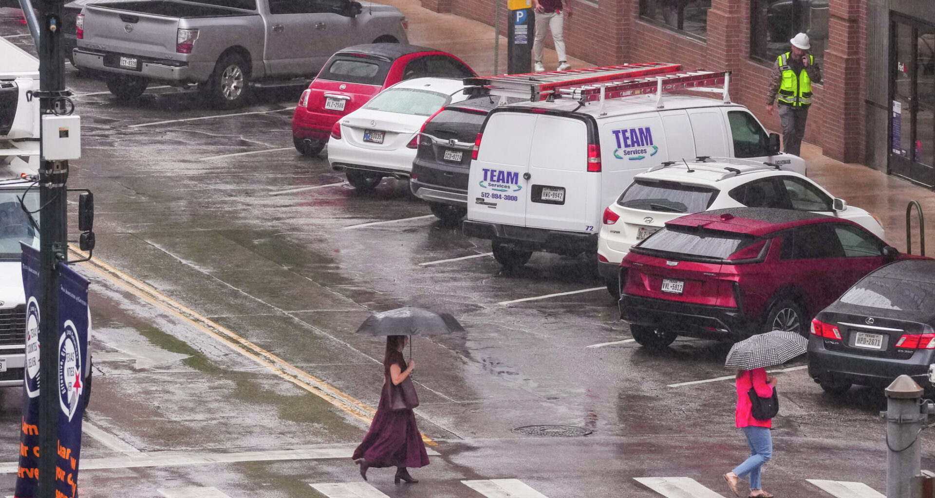
Pedestrians cross Fourth Street and Congress Avenue as rain falls in downtown Austin earlier this year on April 21. The city recorded more than an inch of rain that day. Rain chances rise again on Friday and Saturday.
Mikala Compton/Austin American-Statesman
Wednesday’s cold front brought a collective sigh of relief across Central Texas as cooler air rushed in during the afternoon. Even Thursday stayed pleasant, with cloudy skies and below-normal temperatures, including morning temps in the 50s and afternoon temps reaching only the 60s and low 70s.

It’s hard to remember the last time temperatures felt that comfortable in the middle of the day during early May. However, the cooler air won’t stick around for long as temperatures and rain chances, both begin to rise heading into Mothers Day weekend.
Article continues below this ad
Water vapor satellite imagery on Thursday showed an upper-level system of low atmospheric pressure, cut off from the main flow of air and spinning near Baja California. The counterclockwise circulation around that system is helping steer winds, and moisture-rich air from the Pacific, into northern Mexico and Texas from the southwest.
An upper-level system of low atmospheric pressure will bring a few rounds of rain and storms into Texas this weekend.
Pivotal
Embedded in this stream of Pacific moisture will be several shortwaves, or impulses of atmospheric energy, triggering several rounds of rain and thunderstorms throughout the weekend, beginning on Friday.
We’ll wake up to an overcast sky Friday morning and a few light showers for the early commute. Temperatures will be in the lower to mid-60s. Scattered showers and storms will pick up in the afternoon and evening with the heating of the day. However, the latest forecast models have shifted the axis of rain in the afternoon to areas east and south of Austin. Friday afternoon’s temperatures will climb into the middle and upper 70s with light east-southeast winds.
Article continues below this ad
Peak daytime temperatures across Texas on Friday will be mostly in the upper 70s, slightly cooler than what we typically experience in early May, which are closer to 85 degrees.
Pivotal
Storm chances will ramp up Friday night as the disturbance rolls over Central Texas. At that time, we could see some pockets of heavy rainfall.
“Efficient warm rain processes and the upper low moving into Central Texas Friday night will produce locally heavy rainfall that could lead to flash flooding, especially in areas that are a bit more saturated from recent rains,” meteorologists at the National Weather Service wrote in their forecast discussion for Austin and San Antonio. “Storm chances continue into the day Saturday as the upper low moves across Central Texas and lifts north over the Ark-La-Tex (Northeast Texas) by late in the day.”
Article continues below this ad
Rain and storms will continue off and on over the weekend in Central Texas.
National Weather Service
Rain and thunderstorms will be possible through much of Saturday before the activity shifts east Saturday night. We’ll keep a small chance for showers and storms around for Mother’s Day and Monday as another cold front moves through the region. This time, though, the heaviest rainfall and strongest storms will stay farther north near the Dallas-Fort Worth metroplex and Waco.
Temperatures throughout the weekend will be closer to climate-normals, with mornings in the 60s and afternoons in the 80s.
Drought eases in latest update
We learned in Aesop’s fable about the tortoise and the hare that sometimes slow and steady wins the race — and that lesson can apply to our ongoing drought across Central Texas.
Article continues below this ad
Since Jan. 1, the rain gauge at Austin’s main weather observation site, Camp Mabry, has picked up 9.9 inches of rain, with more than eight inches of that falling since the beginning of meteorological spring in March. So far in May, we’ve recorded 1.63 inches of rain, which is already about 0.63 inch above normal for the month to date, and we’re expecting another possible inch to 2 inches this weekend.
The latest data set from the U.S. Drought Monitor is showing great improvement across South-Central Texas with only 13% of the region in extreme drought, which is the second-highest level.
National Weather Service
As a result, the latest data set from the U.S. Drought Monitor shows that dryness across the state has lessened significantly in recent weeks, with South-Central Texas showing one of the biggest improvements yet. As recently as the week of April 28, about 31% of South-Central Texas was considered to be in extreme or exceptional drought, the two highest levels of dryness, as measured by the drought monitor. This week, that percentage has dropped to about 13%. While parts of the Interstate 35 corridor, such as southern Bexar County and much of Travis County are still dealing with extreme drought, we’re slowly but surely making progress.
Article continues below this ad
That’s encouraging news, especially because May is, on average, the wettest month of the year. Climate outlooks from the weather service’s Climate Prediction Center continue to point toward a wetter pattern than normal for the remainder of the month.