
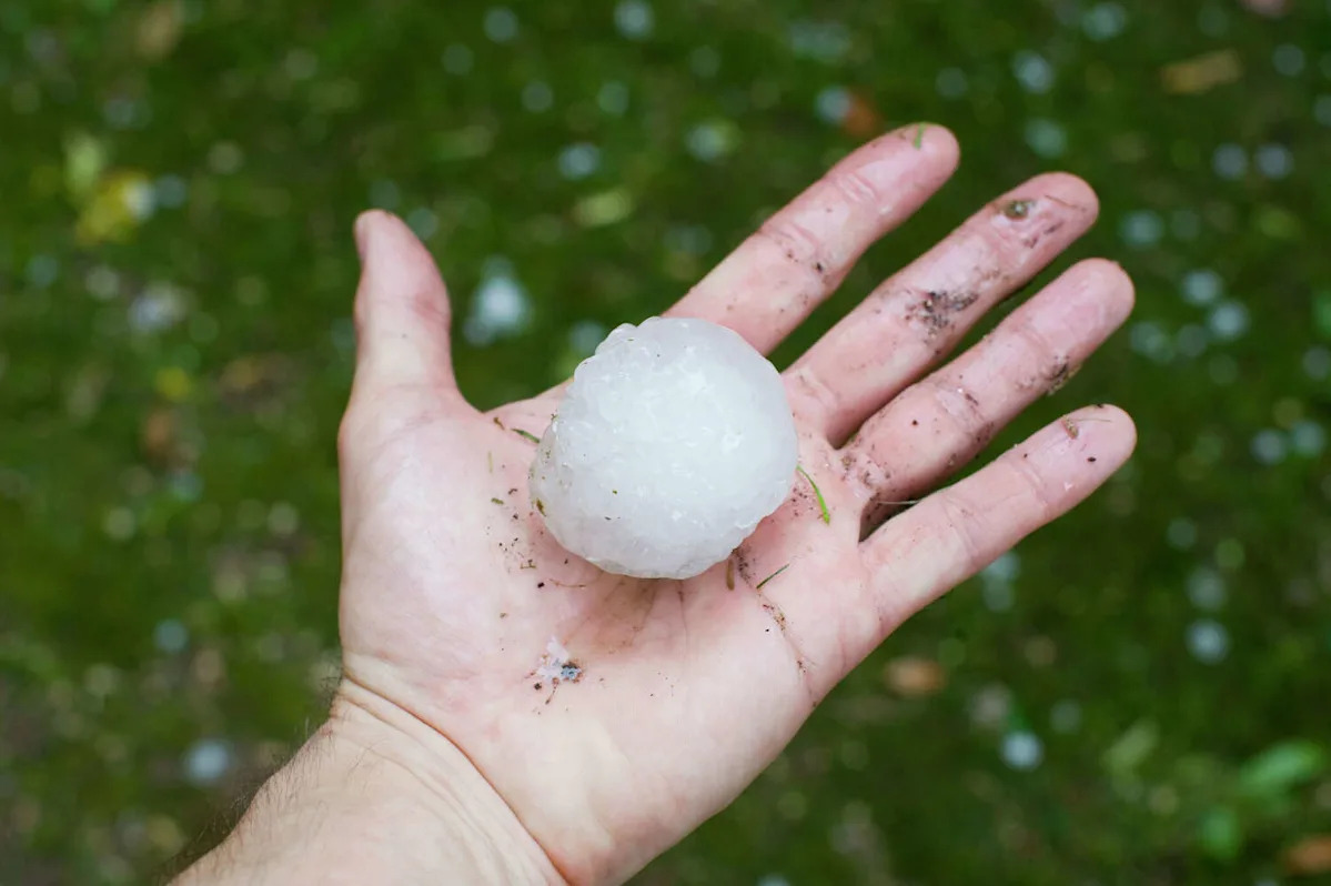
It’s a wet end to the week for many Texans, and I regret to inform you of more less-than-ideal weather news on the immediate horizon: specifically, multiple cold fronts are primed to trundle over the state from Friday evening through Sunday, pelting some regions with ice balls, heavy rain and unruly wind.
Originating in Canada, the first system is a slow-moving complex currently chugging into the Texas Panhandle, according to National Weather Service (NWS) forecasters. This lurching line of storms is expected to amble into North Texas and the Dallas-Fort Worth metro overnight Friday into Saturday morning, ratcheting up severe weather chances.
“The origin of this convective activity will be a cold front that is expected to stall across Central Oklahoma,” NWS Dallas/Fort Worth forecasters wrote in a Friday discussion. “Individual supercells will grow upscale and develop into [a larger complex of thunderstorms].”
The greatest risk for North Texas from this storm complex will be “strong to severe” storms featuring straight-line damaging winds-though hail cannot be ruled out.
The second front
Following this system is a trailing cold front that will arrive on Sunday afternoon, bringing a threat of large hail and more damaging winds to the North Texas.
This second system is expected to then head for Southeast Texas overnight Sunday into Monday morning.

HOUSTON, TEXAS – MAY 01: The Texas state flag hangs from the top of the stadium before the NWSL match between the Houston Dash and the Seattle Reign at Shell Energy Stadium on May 01, 2026 in Houston, Texas. (Photo by Aaron M. Sprecher/Getty Images) (Aaron M. Sprecher/Getty Images)
It’s expected to bring another wave of showers and thunderstorms but should flush out into Gulf of Mexico without too much fuss as the weekend ends. Breezy, cooler conditions will prevail in the Houston area Monday following the system’s passage.
In short, park your car in a covered area and secure any loose items you don’t want blown over this weekend. And remember: the first front is just a warmup.
More Weather
Rating | FEMA gives Harris County a perfect 100 for hurricane risk
Repeat | Houston storms knock out power again despite CenterPoint upgrades
Damage | What to know about the ‘monster’ tornado that ripped through Texas
Forecast | Texas faces higher risk of direct hurricane impact than past years
For the latest and best from Chron, sign up for our daily newsletter here.
This article originally published at Large hail, damaging winds threaten Texas as cold front arrives.