
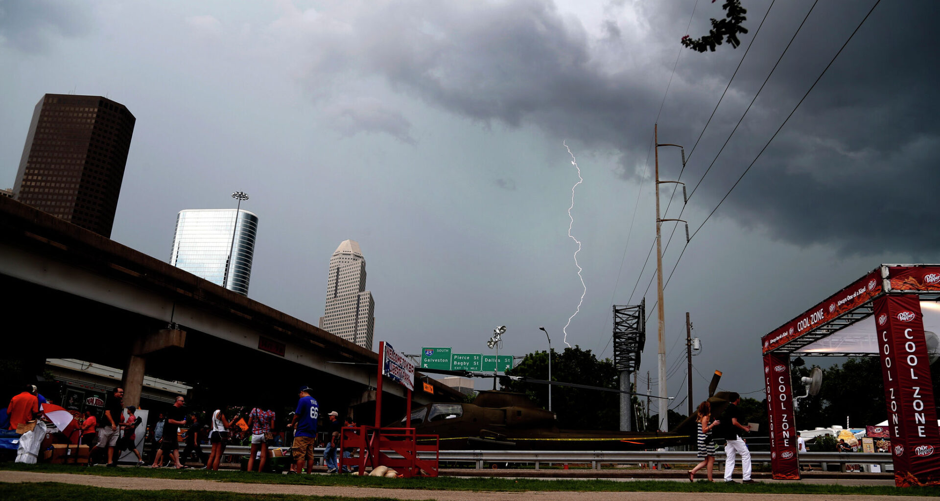
Lightning strikes above downtown during the 2014 Southwest Airlines Freedom over Texas at Eleanor Tinsley and Sam Houston Parks, Friday, July 4, 2014, in Houston. Thunderstorms are expected to sweep through most of the state this week.
Houston Chronicle/Hearst Newspap/Houston Chronicle via Getty Imag
Across the Lone Star State, Texans can largely expect cloudy skies this weekend with a chance of severe weather in several regions.

While showers and thunderstorms will sweep through much of Texas Friday moving into Saturday, portions of the state could see more severe impacts like large hail, damaging winds and localized flooding.
Article continues below this ad
Isolated thunderstorms are possible Friday afternoon in the Dallas-Fort Worth area.
NWS Dallas-Fort Worth
North Texas: Severe storm potential, possible hail threat
Scattered showers and thunderstorms, some of which could become severe, will move through North Texas on Friday.
“Expect an uptick in elevated showers and storms over the course of the day, particularly in Central Texas where the most abundant moisture will be located,” forecasters with the National Weather Service Dallas-Fort Worth Office said.
Article continues below this ad
While severe weather on Friday afternoon appears unlikely, forecasters say the potential increases late Friday moving into Saturday. A chance of strong to marginally severe storms is in the cards, alongside a possible hail threat.
“Given the unstable airmass in place, a few storms may be on the stronger side bringing the potential for small hail, gusty winds, and/or frequent lightning,” forecasters wrote.
Rain chances are expected throughout the weekend.
Article continues below this ad
Central Texas: Locally heavy rainfall, potential flash floods
There’s a line of strong to severe storms popping up in Central Texas Friday and early Saturday, bringing locally heavy rainfall, especially along and south of the Hwy 90 corridor, according to the NWS Austin-San Antonio Office.
On Friday, chances of rain showers are mainly expected from the Hill Country eastward into the I-25 corridor and the coastal plains. Friday evening into Saturday, rain chances spread westward into the southern Edwards Plateau and Rio Grande plains region.
“If strong to intense convective clusters form, increased rainfall rates will lead to isolated instances of flash flooding,” local NWS forecasters wrote in their outlook.
Article continues below this ad
Showers and thunderstorms are expected in Houston Friday afternoon and evening.
NWS Houston-Galveston Office
Southeast Texas: Thunderstorms, localized flooding and gusty winds
Houstonians can also expect cloudy skies this weekend, with the chance for showers and thunderstorms Friday afternoon and evening.
Widespread rainfall totals are predicted to be generally manageable, but the NWS Houston-Galveston Office is warning heavier totals could result in localized flooding.
Article continues below this ad
“Friday afternoon through Saturday morning appear to be the time frame of most concern,” Houston forecasters wrote in their outlook. “Not every location will receive a heavier thunderstorm. But those that do could experience localized flooding and perhaps strong gusty winds.”
As of Thursday evening, forecasters said the locations of those thunderstorms was hard to determine, but that they may occur in Southeast Texas’ southern or coastal counties.
Panhandle: Potential for large hail, damaging wind
After calm weather and warm temperatures in the Panhandle on Friday, the NWS Amarillo Office anticipates thunderstorms will roll in.
Article continues below this ad
“A few storms could be severe with large hail and damaging wind gusts,” Amarillo forecasters wrote in their outlook.”
The severe storm threat appears to end in the early evening on Saturday as the storms move into western Oklahoma, if any develop in the eastern Panhandles.
“With the cold front south of the area on Sunday, temperatures will be a bit cooler with highs returning to the 70s,” forecasters wrote.
Article continues below this ad