
National Weather Service – (May 10, 2026)
SAN ANTONIO (KTSA News) — The National Weather Service is urging weather-awareness beginning late Sunday through early Monday.
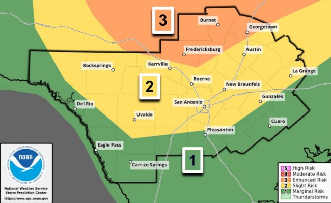
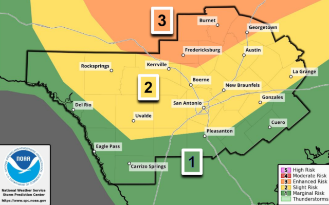
A cold front will bring showers and thunderstorms to the region, and the Storm Prediction Center has issued Level 1-3 Risks for severe storms.
San Antonio sits at Level 2 of 5, but an area including Fredericksburg, Austin and Georgetown are at a Level 3. Areas south of the San Antonio area, including the coastal plains, remain at Level 1.
What to know:
Damaging wind gusts (possibly greater than 75 mph) and large hail are the main threats
Locally heavy rain is possible; with isolated totals up to 4 inches
Severe weather to the north of San Antonio, including the Southern Edwards Plateau, could begin as early as 6 p.m. Areas to the south, including the Alamo City, can expect the best chances of severe weather around 8 p.m.
Stay tuned to 550 KTSA and FM 107.1 for the latest weather conditions.
More about: