
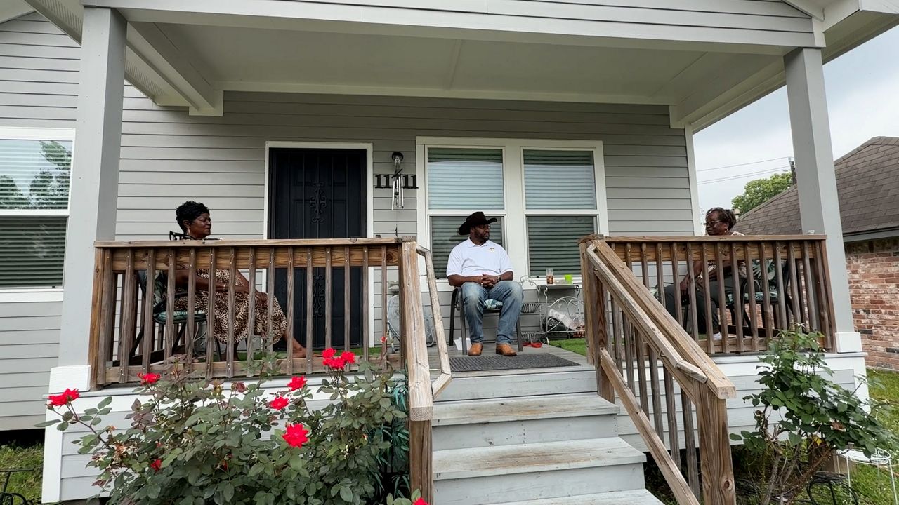
TEXAS — Torrential floods have swept through Northeast Houston over the years, covering streets and pouring into homes in the Northwood Manor community during major storms like Hurricane Harvey in 2017.
“I flooded. I had water up to my waist in my house,” said Anna Brooks, who has lived in Northwood Manor for 56 years.
Brooks and her longtime neighbors recalled the devastation that floodwaters have caused, especially during Harvey’s aftermath.
“Everybody was helping everybody, but there was no FEMA in the area at the time,” said Sandra Martin, a neighbor.
Fred Woods, the president emeritus of the Northwood Manor Civic Club, said the neighborhood, which dates back to 1959, has outdated, inferior infrastructure.
“When you have a heavy rain, it just doesn’t have the capacity to deal with the amount of water,” he said.
In February, nearly nine years after Harvey, the Federal Emergency Management Agency (FEMA) released draft flood maps. The proposed maps widely expand floodplains across Houston, impacting 200,000 properties, including homes in Northwood Manor.
“We had a part of our neighborhood that was in a 100-year floodplain, and then the new maps that FEMA came out with, we have increased risk,” Woods said.
Residents are worried that being added to increased flood risk zones will lower property values and force fixed-income neighbors to buy flood insurance.
“Usually, it’s a onetime $1,000 for a year,” said Woods. “They have to pay it all upfront, which is a barrier.”
Charles Irvine is an attorney for homeowners flooded out in the wake of Harvey. Water came rushing into their subdivisions when the U.S. Army Corps of Engineers opened the Addicks and Barker Dams in an attempt to protect other neighborhoods from the high water.
“I represent thousands of people in the Katy and upstream Addicks and Barker areas that did not have flood insurance, because they were all not in a flood plain,” Irvine said, using that example to explain his belief that all Houston-area properties are at risk. “We’re a flat, flooded city. Everybody should attempt to get flood insurance.”
However, his recommendation flows well beyond the Houston city limits.
“There will be big changes in flood plain mapping for Texas,” said Irvine, predicting much of the state is in for a flood map change.
Texas is considered the most flood-prone state in the country, with a track record of billion-dollar disasters ranging from hurricanes to deadly flooding in Central Texas. He said it could take years before the draft maps are finalized.
“When the preliminary maps come out, there is an opportunity to challenge those maps through a lawsuit,” he said.
In the meantime, both experts and residents point to the importance of addressing complex infrastructure issues, including an existing city ordinance requiring higher elevation for new construction in floodplains.
“What I continue to fight for is to fix the root of the problem, which is having the projects that we need so that those maps don’t increase the risks, but reduce the risks,” Woods said.