
The Texas Panhandle, including cities like Amarillo and Lubbock, has yet to officially reach the 100-degree mark this year, but other parts of Texas have already experienced extreme heat in 2026. Back in February, an unusual late-winter heat wave pushed temperatures above 100 degrees in deep South Texas, including in Laredo, Cotulla and Zapata.
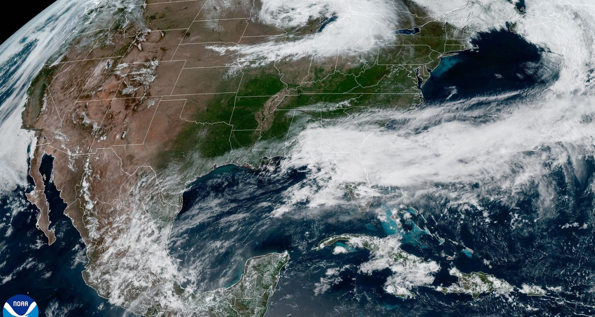
This heat is being driven by an upper-level ridge of high atmospheric pressure extending from the Four Corners region in the desert Southwest to the southern Plains, which is helping to keep much of Texas dry through the week.
Under this high pressure system, the result is sinking air that suppresses cloud development and rainfall. The drier air also allows temperatures to climb more efficiently under mostly sunny skies. This will also be the case in Central Texas, though not to the same extent as areas farther north.
Daytime temperatures in Central Texas will peak in the 90s, which would run about 5 degrees above average for mid-May.
In Austin, temperatures will hit at least 90 degrees on Wednesday, but it is well below the record for May 13 — 101 degrees set just last year. In fact, last May featured a notable stretch of triple-digit heat, with daily records between 99 and 101 degrees being set repeatedly through mid-month, lasting until May 17.
This year is not expected to repeat that pattern, as the ridge flattens slightly and shifts east on Thursday. Southerly air flow on the backside of the high pressure system will bring in extra atmospheric moisture from the Gulf of Mexico, nudging temperatures a bit higher into the lower 90s and bringing in some morning clouds by Friday.
Winds will be a bit breezy, with gusts topping 25 mph on Friday.
The sunny and hot weather will continue into the weekend, with temperatures ranging from the upper 80s in the Hill Country to the middle and upper 90s in South Texas, including the Rio Grande Plains.
As far as rain chances for the weekend, they remain at less than 10% but will ramp up again by Sunday night and into Monday as a cold front approaches the region.