
The Brief
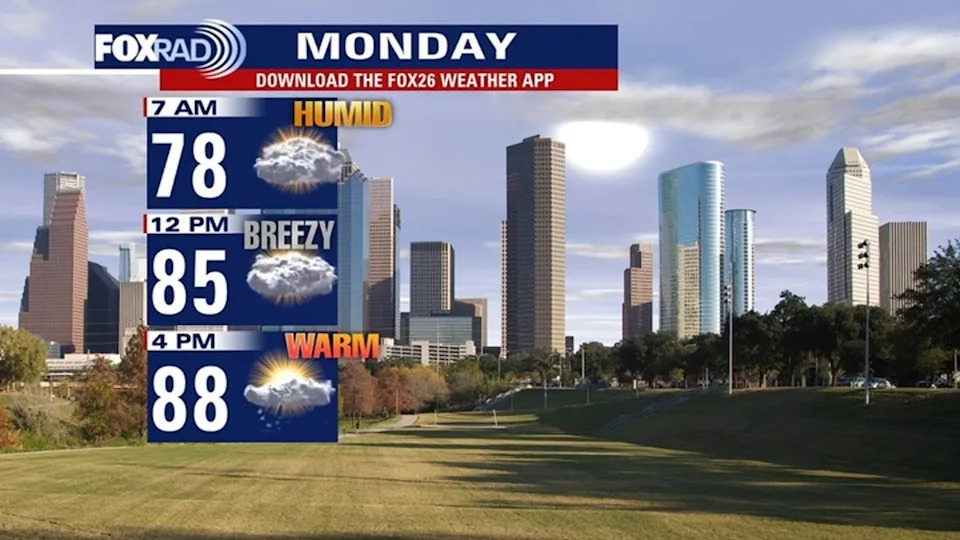
Warm & Humid Again Monday
Stormy Pattern Returns This Week
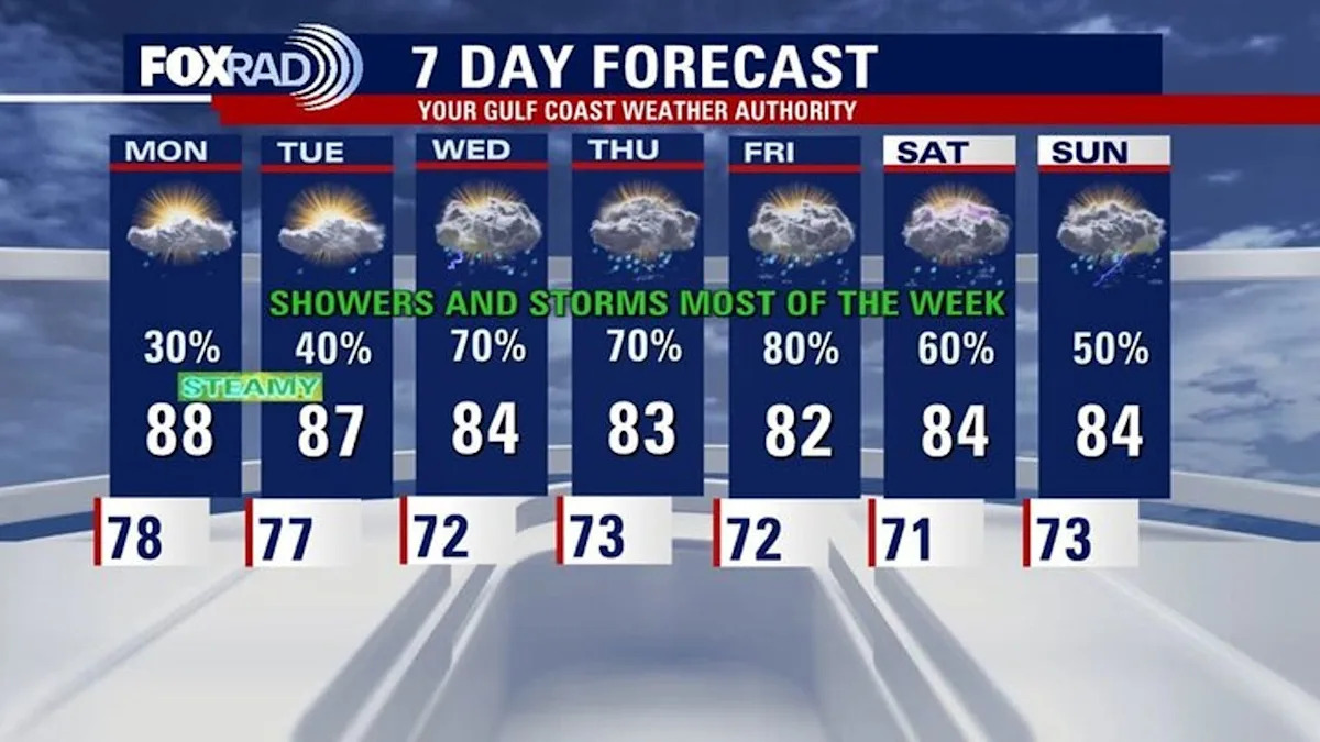
Warm But Not As Hot Next Week
HOUSTON – Be sure to download FOX Local or the FOX 26 Weather app as we’re tracking rain chances for most of the new week.
Muggy Monday
Gulf moisture continues streaming into Southeast Texas to start the work week. Afternoon highs will still be in the upper 80s.
Showers will be isolated to scattered on Monday. There’s also a high risk of rip currents along the coast.
 Storms ahead next week
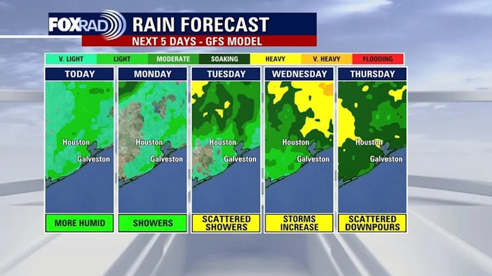
A more active pattern develops on Tuesday as deeper moisture and disturbances move into Southeast Texas.
Scattered showers and thunderstorms become more likely through the end of the week. A few stronger storms possible toward the end of the week and maybe into the weekend.
 Less heat, more rain and storms
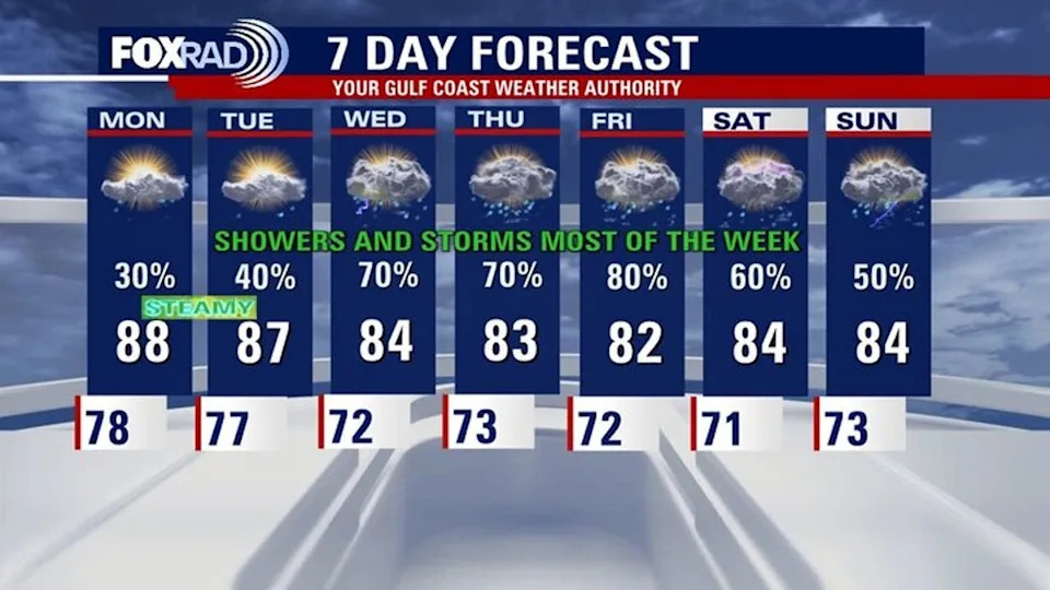
As the pattern shifts back to a wet, stormy & unsettled one next week, anticipate more clouds and rain around with slightly cooler temperatures.
Instead of temperatures near 90, we will eventually fall back to highs in the low 80s by the middle to end of next week.
Along with heavy downpours at times there could be a few strong storms.
We will be watching the forecast closely for Memorial Day Weekend and keep you updated on FOX Local.
The Source
Your Gulf Coast Weather Authority