
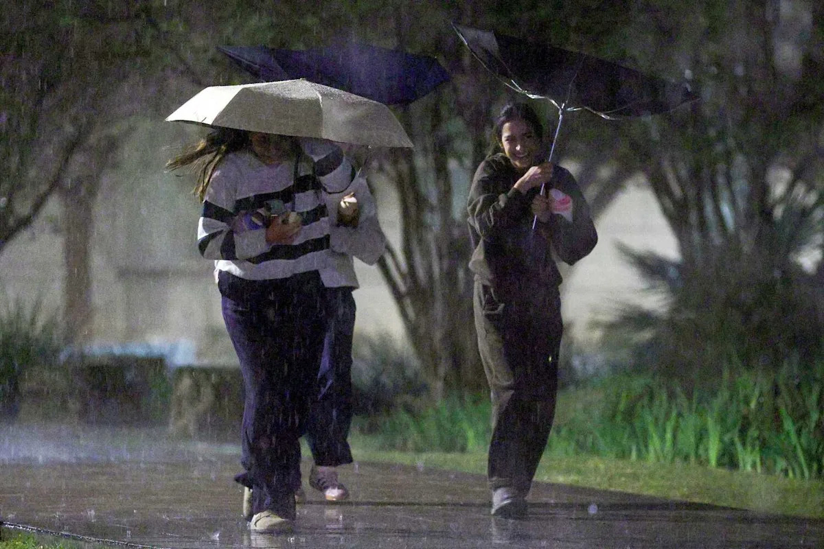
North Texas is heading into a stormy week starting Tuesday and the risk for wet weather will linger through the upcoming Memorial Day weekend.
High temperatures are expected to be in the mid-80s with wind gusts of up to 20 mph, according to the National Weather Service’s Fort Worth office. Showers and thunderstorms are possible after 1 p.m., and there is an 80% chance for precipitation, forecasters said.
The weather service said daytime rainfall amounts could be between a quarter and half an inch.
Chances of rain drop to 60% heading into Tuesday night. Lows are expected to be in the high 60s with a southward wind of 5 to 10 mph.
The weather service said nighttime showers may bring a tenth to a quarter of an inch of rainfall, though higher amounts are possible during a thunderstorm.
The remainder of the week is forecast to be stormy, with chances of rain ranging from 30% to 90%, according to the weather service.
The latest from KXAS-TV (NBC5):
TUESDAY: Partly to mostly cloudy and warm with an 80% chance of showers and thunderstorms. Low: 74. High: 86. Wind: S 10-15 mph.
WEDNESDAY: Partly to mostly cloudy and slightly cooler with a 60% chance of showers and thunderstorms. Low: 67. High: 80. Wind: NE 5-10 mph.
THURSDAY: Partly to mostly cloudy and mild with a 60% chance of showers and thunderstorms. Low: 65. High: 78. Wind: E 5-10 mph.
FRIDAY: Partly cloudy and warm with a 40% chance of showers and thunderstorms. Low: 65. High: 80. Wind: SE 5-10 mph.
SATURDAY: Partly cloudy and warm with a 30% chance of showers and thunderstorms. Low: 66. High: 83. Wind: S 5-10 mph.
Subscribe