
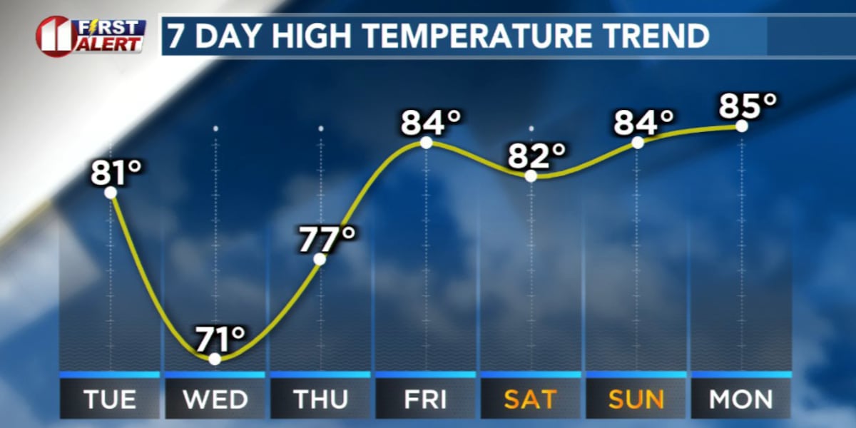
LUBBOCK, Texas (KCBD) – The South Plains and West Texas remain locked in critical fire weather conditions through sunset Monday, but a dramatic shift is coming. A strong cold front will sweep from north to south late tonight and early Tuesday morning, ushering in below-average temperatures for the next few days and increasing rain chances by midweek.
Cooler
The cold front will push through the region late tonight and early Tuesday morning, bringing an abrupt end to the dangerous fire weather threat. Temperatures will run below average for several days following the frontal passage. While winds won’t be as strong as they are today, it will remain breezy.
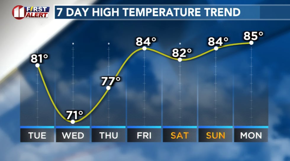 Forecast high temperatures for Lubbock show much cooler weather for a few days.(KCBD First Alert)
The grassland fire danger will remain quite high through sunset, so the First Alert Weather Day designation continues until then. Once the sun sets, the critical fire threat will diminish significantly.
Rain Outlook
The pattern shift brings more than just cooler air. Storm and rain potential will increase in the days following the cold front, offering some relief from the dry conditions that have dominated our region. This is welcome news for West Texas and the South Plains, which have been extremely dry and with dangerous fire conditions.
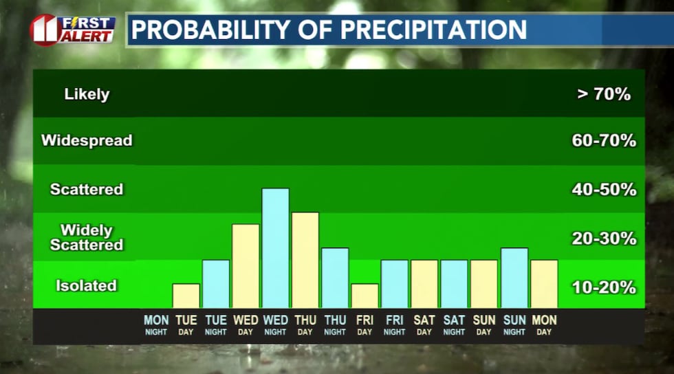 The chance of rain increases Wednesday through Thursday.(KCBD First Alert)
Temperatures will be noticeably cooler than what we’ve experienced recently, running below normal for a few days.
Holiday Weekend
Our current outlook for Friday through Memorial Day is pretty seasonable. Highs in the 80s with a slight chance of some storms generally late each day.
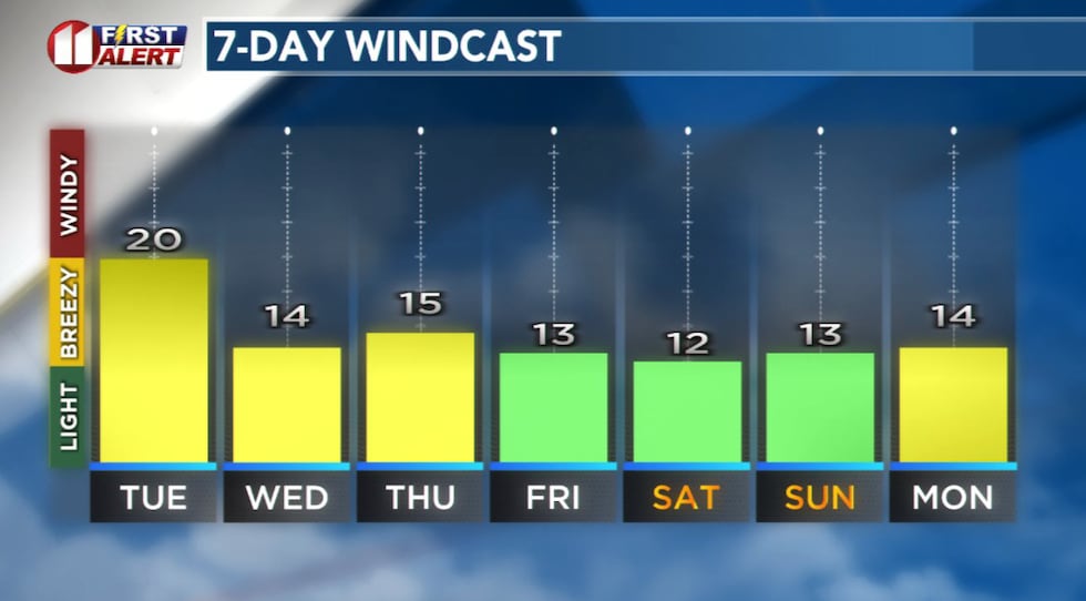 Tuesday’s strongest winds will be in the morning, then breezy the rest of the week.(KCBD First Alert)
Copyright 2026 KCBD. All rights reserved.