
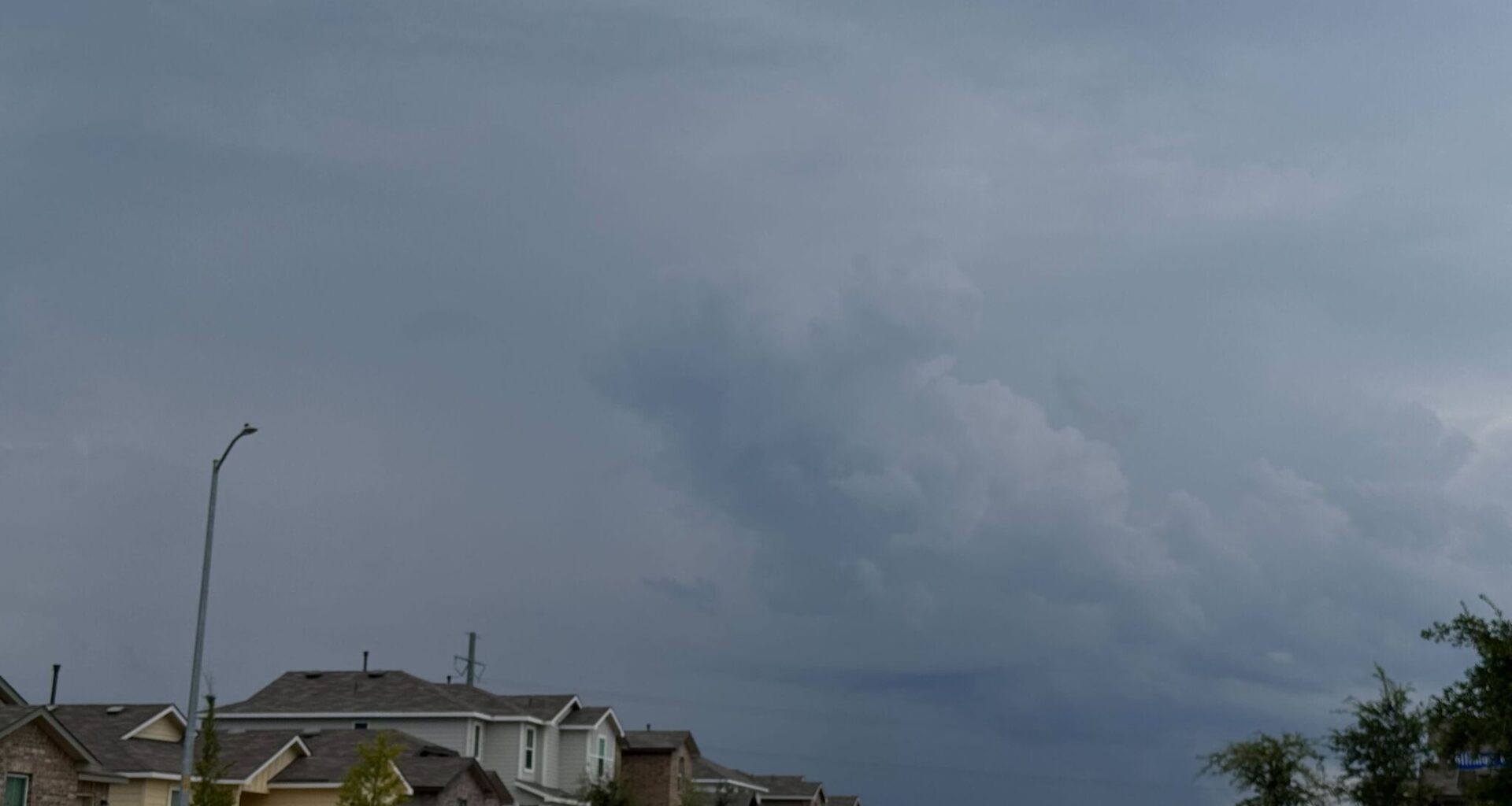
Severe weather season is in full swing in Texas. Now, a late-season cold front is barreling toward Texas, set to send temperatures plummeting by up to 20 degrees in major metros. But it also means severe storm threats are reignited across most of the Lone Star State.
This burst of cool air should breached the Texas-Oklahoma border Monday night, May 18, sending Texas Panhandle temperatures plummeting. As towns like Dalhart, near the northern border, nearly approached freezing, most of the region is experiencing a major cooldown. Afternoon highs drastically dipped from the mid-90s on Monday to a much cooler 75 on Tuesday afternoon.
However, this massive cold front sweeping the whole state means storm chances loom on the horizon for the Texas Panhandle as well. A 50% to 80% chance of showers and thunderstorms hangs over the weekly forecast from Amarillo to Dalhart, and a low chance of storms becoming severe is shown in the models.
“Persistent cloud cover could reduce severe chances,” the National Weather Service Amarillo office reports. “However, the signal is there, and if the atmosphere is able to build instability and avoid workover for multiple days of weather, showers and thunderstorms (possibly severe) are on the table.”
The northern front will reach North Texas, namely the Dallas-Fort Worth metroplex, by Tuesday night. While it means a reprieve from scorching afternoon, with highs gradually dipping by more than 10 degrees between Monday and Thursday, it also means severe storms threats loom over of the forecast.
A 50% to 90% thunderstorm or shower threat hovers over the DFW region all week and into the weekend as the cold front stalls over North Texas. Some of these storms could produce large hail and damaging winds on Tuesday afternoon.
“Majority of guidance shows widespread showers and storms along the front, some of which could be strong to severe with damaging winds and large hail,” the national forecaster warns, saying threats are strongest between 1 p.m. and 3 p.m. Tuesday afternoon. “This activity should diminish from north to south with time Tuesday evening/night.”
The cold front should reach South Central Texas by Tuesday evening, bringing afternoon highs from the mid-90s to a much more comfortable range in the mid- to low-80s in the second half of the week.
But storms threaten the area all week. The National Weather Service Austin-San Antonio office says supercells may develop just north of region, over Central Texas towns, on Tuesday. Depending on how strong this system continues to plow south, alongside a storm system that may develop over Mexico around the same time, storms could become severe.
“[The Storm Prediction Center] currently has most of the area in a level 1 or 2 of 5 risk for severe weather for this time period,” the NWS office reports.