
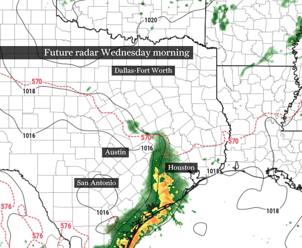
The third of multiple waves of stormy weather is expected to push off the upper Texas Gulf Coast late Wednesday morning. While much of Wednesday afternoon should turn drier, repeated rounds of storms Thursday through the weekend might lead to isolated flooding.
Forecast model guidance continues to suggest the morning hours of Wednesday are likely to be the wettest of the entire day.
After two thunderstorm complexes pushed through Southeast Texas — the first of which arrived Tuesday morning and the most recent Tuesday evening — the third round brings mainly light to moderate rain with occasionally embedded thunder. Similar to Tuesday morning, commuters Wednesday should expect wet roads and prepare for slower traffic.
By the afternoon, the weather should improve as mostly to partly cloudy skies return. Temperatures top out in the mid-80s with humidity-driven heat index values, or “feels like” temps, in the lower 90s.
This week’s flood risk peaks Thursday as a surge of atmospheric moisture arrives from the Gulf of Mexico.
For locations like College Station and Huntsville, a level 2 of 4 risk, or at least a 15% chance, of flooding is possible, according to NOAA’s Weather Prediction Center. This kind of risk remains on the lower end of the scale, but it does mean that a wider swath of Southeast Texas could see brief localized flooding. Closer to Houston, a minimal level 1 of 4 flood risk means any storm that does form could spur brief flooding, especially in areas with poor drainage.
Thursday’s heaviest rainfall will likely occur along leftover atmospheric boundaries produced by earlier storms. Forecast models are generally in agreement that the heaviest rainfall potential will be found closer to the Brazos River Valley.
Even with a crystal ball, pinpointing exactly when and where storms develop this weekend is difficult.
Despite low forecast confidence, what’s more certain is that each day through the holiday weekend will bring periods of storms followed by several dry hours. Whether you have plans to be outdoors Friday evening, Saturday morning, or midday Sunday, you’ll want to keep a close eye on forecasts through the rest of the week.
Plan for rain-delayed backyard barbecues and occasional pauses to pool time because of thunder. This weekend’s forecast doesn’t look like the kind of forecast where you need to outright cancel your outdoor plans, but it will be one you’ll want to stay weather-informed about.