
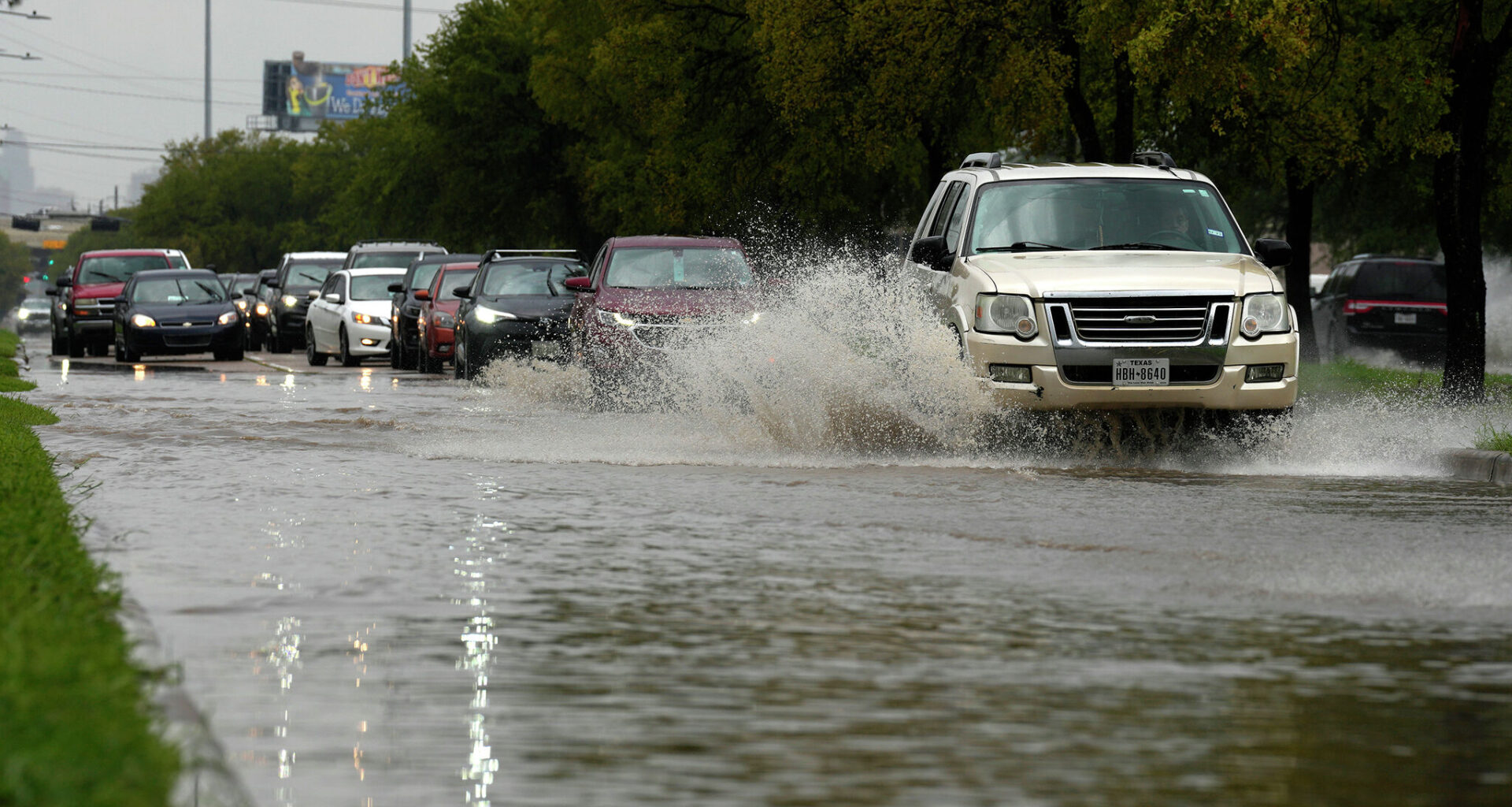
Space City Weather initiated a Stage 2 flood alert through Memorial Day weekend. Meteorologists are warning that some locations could see significant impacts and that drivers should use extra caution on streets and highways.
AccuWeather forecasters predict a mostly cloudy, humid Wednesday with the potential for showers and heavy thunderstorms. Tuesday afternoon carries a 91 percent chance for rain, with a 55 percent chance for thunderstorms.
Rainfall totals between 1 and 3 inches are expected Wednesday, with isolated amounts between 5 and 7 inches or more possible, according to the National Weather Service (NWS) Houston-Galveston Office. Higher totals are anticipated north of Interstate 10.
A high chance for rip currents is forecast along the Southeast Texas coast through Wednesday evening, bringing numerous, life-threatening rip currents.
Forecasters expect rain clouds to hover over Houston through the weekend, if not longer.
“The next seven days (at least) should feature periods of moderate to heavy rainfall,” Eric Berger with Space City Weather wrote in his outlook. “While most of our roads should be fine most of the time, there will be the potential for flash flooding, and you should remain weather aware.”
Rain chances will continue through the weekend with the chance of showers and thunderstorms increasing again on Thursday into Friday, according to the NWS Houston-Galveston Office. An additional 1 to 2 inches of rain could fall.
From Saturday through Memorial Day, widespread rainfall totals 4 to 6 inches anticipated, with higher totals possible locally.