
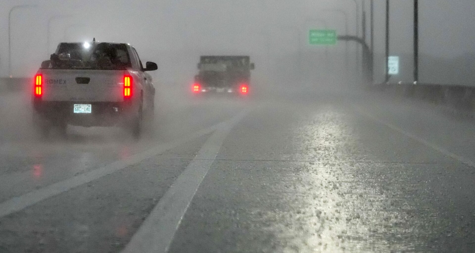
The risk of storms continues Wednesday for North Texas as the region could see more showers and thunderstorms.
The day will begin with sunshine and temperatures expected to top out near 81 degrees before dropping to 66 degrees at night, according to the National Weather Service’s Fort Worth office. A wind of 5 to 10 mph is expected throughout the day.
The region will see a slight chance of showers and thunderstorms after 1 p.m. Wednesday, the weather service said. There is also a likelihood of overnight showers into Thursday. The chance of precipitation is 30% Wednesday, increasing to 60% later in the evening, the weather service said.
Rainfall amounts can range between a tenth and quarter of an inch and higher amounts are possible if thunderstorms develop.
Dallas-Fort Worth will see a consistent chance of showers and thunderstorms for the rest of the week, going into Memorial Day weekend. The coming days are forecast to be seasonably warm with highs in the 80s.
WEDNESDAY: Partly to mostly cloudy and slightly cooler with a 20% chance of showers and thunderstorms. Low: 67. High: 80. Wind: NE 5-10 mph.
THURSDAY: Partly to mostly cloudy and mild with a 70% chance of showers and thunderstorms. Low: 65. High: 78. Wind: E 5-10 mph.
FRIDAY: Partly cloudy and warm with a 30% chance of showers and thunderstorms. Low: 65. High: 80. Wind: SE 5-10 mph.
SATURDAY: Partly cloudy and warm with a 30% chance of showers and thunderstorms. Low: 66. High: 83. Wind: S 5-10 mph.
SUNDAY: Partly cloudy and warm with a 30% chance of showers and thunderstorms. Low: 68. High: 85. Wind: S 5-10 mph.
MONDAY (MEMORIAL DAY): Partly cloudy and warm with a 30% chance of showers and thunderstorms. Low: 69. High: 86. Wind: S 5-10 mph.