
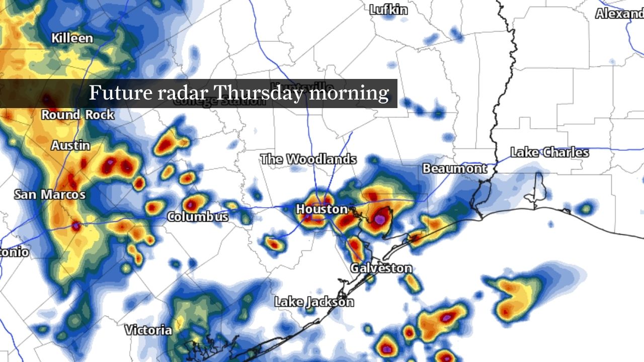
Another atmospheric disturbance moving into Texas from the west is expected to increase storm coverage before sunrise and the Thursday morning rush hour, especially near and south of Interstate 10. Some storms could produce torrential downpours, lightning and gusty winds. Watch for water pooling on roads, reduced visibility and isolated street flooding.
Houston’s broader stormy pattern is also expected to continue through Memorial Day weekend and potentially into next week as deep volumes of atmospheric moisture from the Gulf of Mexico continues to feed rounds of thunderstorms across Southeast Texas.
Any storm that develops could produce high rainfall rates similar to the storms that slowed Wednesday morning’s commute. Areas near and south of Interstate 10 could once again see the most persistent rainfall, especially portions of Brazoria and Galveston counties that picked up 3 to 5 inches of rain early Wednesday.
While severe weather isn’t likely, a few storms could also produce gusty winds and frequent lightning.
Storms Friday may take on a slightly different personality than on Thursday, at least based on current forecast model guidance.
Friday does feature the likely chance of showers and thunderstorms, but it might come in the form of diurnally-driven activity. So, instead of an organized cluster of thunderstorms — or a mesoscale convective system — storms may be more scattered. That kind of pattern is notoriously difficult to forecast more than 24 hours out, so the takeaway is that any downpour that develops could bring another round of heavy rainfall and localized flooding.
More organized thunderstorms likely return to Southeast Texas overnight Saturday into Sunday. Repeated rounds of rainfall through the Memorial Day weekend, especially in areas that get soaked this week, could gradually saturate soils and increase the risk for flash flooding in the days ahead.