
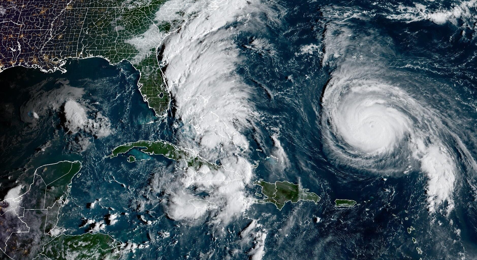
In this weather satellite image taken during the 2025 Atlantic hurricane season, Hurricane Humberto, at right, spins in the western Atlantic north of Puerto Rico. At left, a tropical depression near the Bahamas that later became Tropical Storm Imelda appears as a broad band of clouds.
Geostationary Operational Environmental Satellites/CIRA and NOAA
Forecasters at the National Oceanic and Atmospheric Administration are predicting a below normal 2026 Atlantic hurricane season in their official outlook released Thursday.
The U.S. government forecast calls for between 8 and 14 named storms, including 3 to 6 and 1 to 3 major hurricanes, during the six-month hurricane season that begins June 1. Major hurricanes are Category 3 storms or stronger with sustained winds of at least 111 mph.
NOAA gives the 2026 hurricane season a 55% chance of being below normal, a 35% chance of near-normal activity and a 10%chance of above-normal activity.
Article continues below this ad
The outlook comes as a rapidly developing El Niño appears increasingly likely to become one of the dominant weather patterns shaping the upcoming hurricane season.
What the 2026 hurricane season outlook shows
One of the biggest factors expected to limit Atlantic hurricane activity this year is the growing likelihood that El Niño develops during the summer and strengthens into fall.
El Nino, which is not a single storm or weather event, naturally occurs when sea-surface temperatures in the eastern Pacific Ocean just north of the equator become much warmer than the long-term average temperature. But this major transfer of heat energy in the world’s largest ocean can significantly affect weather around the world.
Article continues below this ad
The National Weather Service’s Climate Prediction Center gives El Niño an 82% chance of developing between May and July. Sea-surface temperatures in the eastern equatorial Pacific Ocean are already nearing El Niño thresholds and could officially reach El Niño status within weeks.
CLIMATE CONNECTION: Super El Niño risk rises for 2026, new forecast shows. Here’s what it means for Texas.
Forecasts also suggest the event could become unusually strong by late 2026. NOAA’s outlook shows a nearly 40% chance of a “very strong” El Niño developing this fall and winter — something that has occurred only a handful of times since 1950.
Some global forecast models even suggest this El Niño could rival or exceed some of the strongest events ever observed.
Why El Niño matters for hurricane season
El Niño often suppresses Atlantic hurricane activity by increasing upper-level winds across the Caribbean Sea and tropical Atlantic Ocean. Those stronger winds create wind shear, which disrupts developing tropical systems and makes it harder for hurricanes to organize and intensify.
Article continues below this ad
Because of that, strong El Niño years historically produce fewer Atlantic hurricanes than average.
There have been no Texas hurricane landfalls during El Niño years since 1950.
National Oceanic and Atmospheric Administration
Last month, Colorado State University researchers — whose hurricane outlook is among the nation’s most closely watched seasonal forecasts — also predicted slightly below-average activity for the 2026 hurricane season, largely because of the expected El Niño development.
Historically, strong El Niño years have tended to reduce hurricane threats along the Texas Gulf Coast. Since 1950, when more reliable El Niño data became available, only one storm associated with a moderate-to-strong El Niño — Hurricane Audrey in 1957 — tracked near Texas before making landfall in southwest Louisiana.
No hurricane season outlook can predict landfalls
Although NOAA’s seasonal outlook estimates how active the Atlantic basin may become overall, it does not predict where storms will track or whether hurricanes will strike Texas or the Gulf Coast.
Article continues below this ad
Texas also remains vulnerable to tropical storms and hurricanes unless and until El Niño fully develops and begins significantly increasing wind shear across the Atlantic basin.
Current forecasts suggest El Niño may continue strengthening through the summer, but it may not fully establish itself until later in the season.
That means June, July and possibly part of August could still feature conditions favorable for tropical development across the Gulf of Mexico and Caribbean Sea before El Niño’s suppressive effects become more pronounced.
Article continues below this ad
Even during quieter Atlantic seasons and El Niño years, destructive hurricanes can still develop and make landfall along the Gulf Coast. It only takes one storm in the right place to make a season devastating for Texas communities.
“A below-normal forecast doesn’t mean your area won’t get hit. You only have to look at Alicia from August 1983 to be reminded that it only takes one,” said Ken Graham, the director of NOAA’s National Weather Service.
Historically, Texas faces its greatest hurricane risk between August and October, when Gulf waters are warmest and storms use that heat to rapidly intensify before approaching the coastline.