
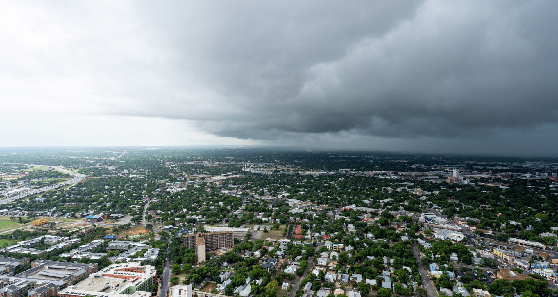
Most of the region, including Austin and San Antonio, will be under a flood watch beginning Friday, May 22, at 7 p.m. through Monday, May 25, at 7 p.m., according to the National Weather Service. The watch covers much of the Hill Country and surrounding metro counties, where repeated rounds of storms could quickly overwhelm several waterways.
Forecasters say showers and thunderstorms will be capable of producing high rainfall rates, with totals of 2 to 4 inches expected across large portions of the region and isolated amounts up to 6 inches possible.
“There is a potential for life-threatening flooding somewhere in the watch area,” the National Weather Service said, warning that excessive runoff may cause rivers, streams and creeks to rise out of their banks.
In New Braunfels, the NWS is predicting a 20% chance of rain on Friday night, a 90% chance of rain on Saturday, May 23, a 30% chance of rain on Sunday, May 24, and a 30% chance of thunderstorms on Memorial Day, Monday, mainly after 1 p.m.
The flood watch area includes the cities of Austin, Bandera, Bastrop, Blanco, Boerne, Burnet, Cuero, Floresville, Fredericksburg, Giddings, Gonzales, Georgetown, Hallettsville, Hondo, Karnes City, Kerrville, La Grange, Lockhart, New Braunfels, Pearsall, Pleasanton, San Antonio, San Marcos and Seguin.
The flood watch includes the following Texas counties: Atascosa, Bandera, Bastrop, Bexar, Blanco, Burnet, Caldwell, Comal, DeWitt, Fayette, Frio, Gillespie, Gonzales, Guadalupe, Hays, Karnes, Kendall, Kerr, Lavaca, Lee, Llano, Medina, Travis, Williamson and Wilson.
Officials say rural roads, low-water crossings and flood-prone neighborhoods will be especially vulnerable during periods of heavy rainfall.
In New Braunfels, attention is turning to river conditions heading into one of the busiest weekends of the year.
The Comal River, a spring-fed waterway known for steady tubing traffic, could see changing conditions depending on rainfall upstream. As of 2:15 p.m. Thursday, May 21, scattered storms remain in the forecast through Friday before rain chances ramp up significantly Saturday into Sunday, when widespread showers and thunderstorms are expected across Central Texas. Some storms could produce heavy rainfall capable of quickly raising water levels and strengthening currents.
Nearby, the Guadalupe River may also be affected if heavier rainfall develops across the Hill Country. Forecast models continue showing the wettest period arriving late Saturday into early Sunday, with additional rounds of rain possible into Memorial Day.
Local officials typically warn visitors to avoid low-water crossings and closely monitor changing river conditions during prolonged rain events, especially during busy holiday weekends when waterways are crowded. City officials in New Braunfels will monitor the weather, noting that any changes or advisories will be shared through the standard city channels.