
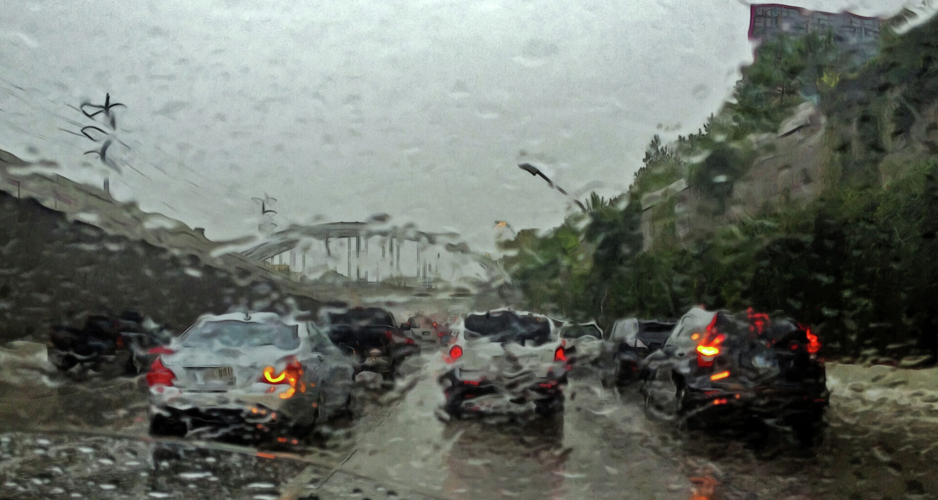
Forecasters with the National Weather Service said Friday that “multiple rounds of thunderstorms are expected through the holiday weekend and into next week,” with some storms capable of producing locally heavy rainfall and flash flooding.
The agency has expanded its Flood Watch through late Monday to include additional counties north of Interstate 10, including Polk, Trinity, San Jacinto, Walker, Grimes and Washington counties.
According to the NWS, the greatest concern for heavier rainfall is expected between Saturday afternoon and Sunday morning, though forecasters cautioned that periods of heavy downpours remain possible throughout the entire holiday weekend.
“Additional rainfall amounts of 2 to 4 inches can be expected through late Monday,” the agency wrote in its Friday forecast discussion. “Isolated higher amounts of 5 to 6 inches will be possible.”
Forecasters also warned rainfall rates in the heaviest storms could reach between 3 and 4 inches per hour, increasing the risk of flash flooding in low-lying or flood-prone areas.
“Anywhere we see these intense rainfall rates, localized flash flooding is possible,” the NWS added.
By Memorial Day itself, however, conditions may begin improving slightly compared to earlier in the weekend.
“Forecast rainfall amounts have trended lower for Monday,” forecasters noted, though they still expect “isolated to scattered activity mainly for the afternoon and evening.”
That means Southeast Texans planning cookouts, beach trips or outdoor gatherings on Memorial Day may still want to monitor the forecast closely, especially during the afternoon hours when daytime heating could help trigger additional storms.
Space City Weather’s Matt Lanza also warned that rain and storm chances are expected to increase Saturday night again through Monday as several disturbances move through the region.
“If we’re going to get smacked by rainfall, Saturday evening through Memorial Day would be the timeframe I’d be watching closest,” he said. “We’ll then need to watch for repeated development of storms and the risk for flash flooding, including in areas that have not seen much rain so far.”
For now, confidence remains high that showers and thunderstorms will continue moving through Southeast Texas into early next week, even if the exact timing and placement of the heaviest rain remains less certain.