
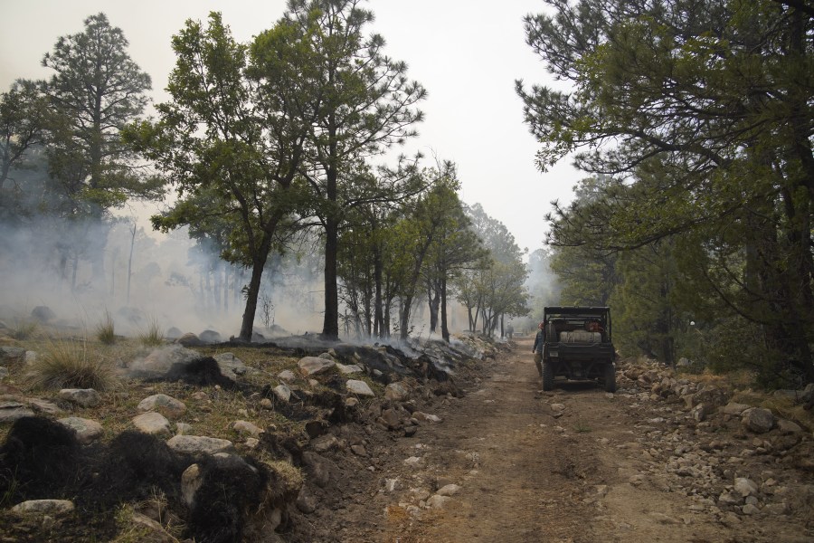
EL PASO, Texas (KTSM) — The Seven Cabins Fire, burning in Southern New Mexico, has grown to more than 24,000 acres and remains at 15 percent containment, fire officials said on Saturday, May 23.
The fire, burning in the Capitan Mountain Wilderness area, is now estimated to be 24,437. The fire has been linked to an airplane crash that killed four people but that has not been determined to be the official cause as of yet.
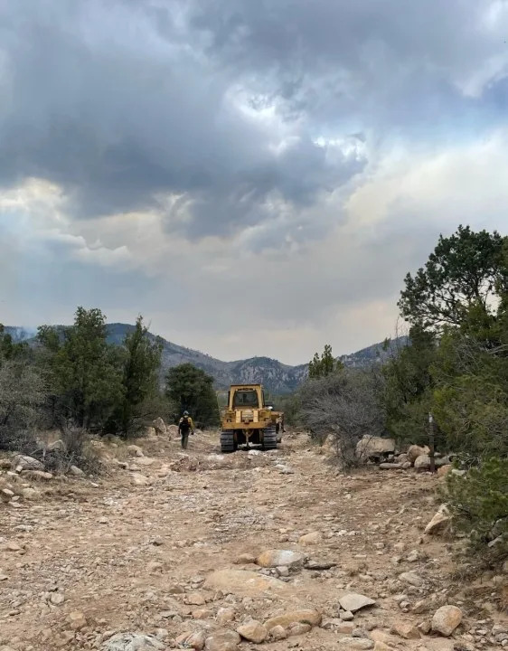
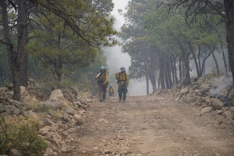
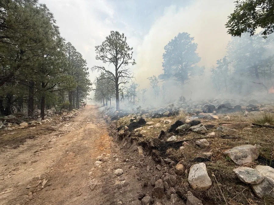
About 900 firefighters are on scene, battling the blaze.
Resources include 43 crews, 34 engines, nine helicopters, 36 water tenders and 10 dozers.
Crews strengthened containment lines and increased aerial support capacity, with new water sources and an operational FAA tower boosting firefighting effectiveness, fire officials said.
Friday, the north-side structure group focused on assessing structures while crews continued mop-up work to reinforce and secure the existing containment line. To the east, structure crews made steady progress on creating more defensible space. Crews continue working on a containment line to keep the fire west of the community of Arabela, with continued prep along a new secondary holding feature.
Despite an unknown aircraft violating the temporary flight restriction (TFR) grounding all aerial resources, aerial capabilities have increased significantly, with access to more than 200,000 gallons of water per day across three designated fill sites, fire officials said.
In addition, a temporary FAA tower is now operational, which will enhance airspace coordination and improve aviation safety.
Friday night, another front pushed in from the northeast, bringing in an increase in moisture. Saturday, lighter winds are still expected, which will moderate fire behavior, but still remain active. There is a potential for afternoon showers to develop across the fire.
Smoke is not expected to be as bad on Saturday as it was on Friday, but winds will continue to push smoke east of the fire.
For air quality information, you can check on conditions by clicking here.
A forest closure remains in place, encompassing the Capitan Mountain area, from Highway 246 around the Forest Service boundary and south to the South Base Trail System. Baca Campground is included in the closure.
Stage 1 fire restrictions remain in effect. There is a temporary flight restriction (TFR) in place over the fire to ensure safe access for firefighting aircraft. Unauthorized drone use prevents firefighters from being able to conduct aerial operations.
Here you can find out more information about the forest closure order.
You can click here for more information on fire restrictions.
Evacuation statuses are evaluated daily. The area from State Highway 246 to the ridge top of the Capitan Mountains, between mile marker 13 and Boy Scout Mountain, have been ordered to evacuate since last weekend.
Residents north of Highway 246 between mile marker 13 and Boy Scout Mountain have been told to be ready to evacuate and are in the “set” status.
For more information on evacuations, click here.
Copyright 2026 Nexstar Media, Inc. All rights reserved. This material may not be published, broadcast, rewritten, or redistributed.
For the latest news, weather, sports, and streaming video, head to KTSM 9 News.