
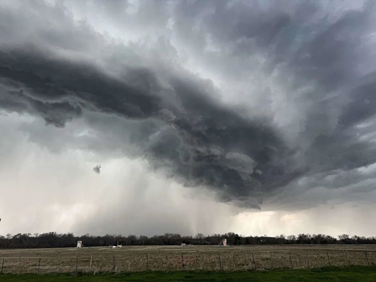
Texas isn’t done with May showers just yet. Forecasters say parts of Texas, including the Texas Panhandle (Amarillo) and North Texas, could face another round of thunderstorms on Sunday, May 24.
The National Weather Service (NWS) issued a Hazardous Weather Outlook for the Texas and Oklahoma Panhandles. Possible showers and thunderstorms will hit the area Sunday afternoon and early in the evening. However, widespread severe storms are not anticipated. Potential impacts include minor flooding and isolated strong winds.
Rainfall is forecast for the area over the next two days, especially in the western combined Panhandles. Highs will be in the upper 80s, while the lows will be in the upper 50s for Sunday and Monday (Memorial Day) in the Texas Panhandle.
In North Texas, isolated storms will develop on Sunday afternoon and on Memorial Day, according to the NWS. Many parts of the Dallas-Fort Worth area will remain dry, but those that get beneath a storm may observe small hail, gusty winds and heavy rainfall.
Unsettled weather will persist through the upcoming week, with daily chances of showers and storms across North and Central Texas. While not everyone will see rain each day, periods of locally heavy rain and frequent lightning will remain the primary concerns, according to the NWS. A low flooding threat is expected where storms repeatedly move over the same locations.
This article originally published at Another round of thunderstorms could bring hail to Texas today.