
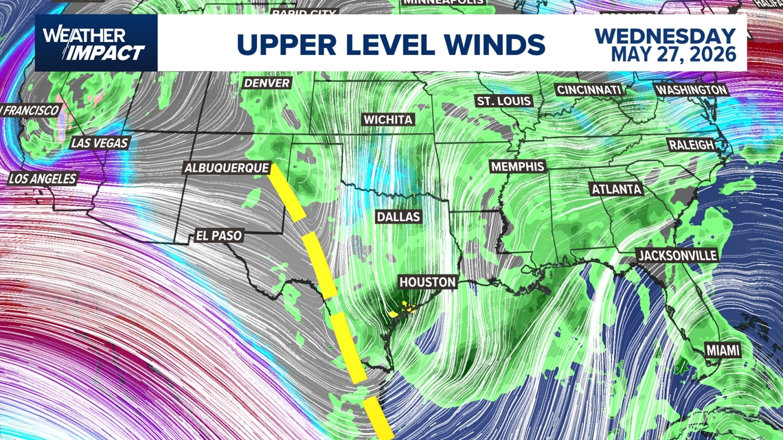
HOUSTON — The KHOU 11 Weather Team is issuing a Weather Impact Alert for this Wednesday because of a flood risk.
According to Chief Meteorologist David Paul, the upper-level pattern looks very wet for the east half of Texas. Couple that with saturated ground from all the rain we’ve had recently, and that leads to the threat of flash flooding.

This story continues below.
The exact timing is still a question mark, but at this point, it looks like we could have a round in the morning and another in the evening. We’ll continue to monitor the timing of Wednesday’s system, so make sure to check with us at least a couple times a day for the very latest.
As for the rest of the extended weekend forecast, we will see a few afternoon thunderstorms Sunday and Monday, but with much reduced total coverage.
Harris County (including Houston, Pasadena, Baytown), Fort Bend County (Richmond, Sugar Land, Missouri City), Montgomery County (Conroe, The Woodlands), Brazoria County (Angleton, Pearland, Alvin, Lake Jackson), Galveston County (Galveston, League City, Texas City), Liberty County (Liberty, Cleveland, Dayton), Walker County (Huntsville, New Waverly), Waller County (Hempstead, Prairie View, Waller), Polk County (Livingston, Corrigan), Chambers County (Anahuac, Mont Belvieu, Winnie), Wharton County (Wharton, El Campo), Washington County (Brenham), Matagorda County (Bay City, Palacios), Grimes County (Anderson, Navasota), Austin County (Bellville, Sealy), Colorado County (Columbus, Eagle Lake, Weimar), Trinity County (Groveton, Trinity).