
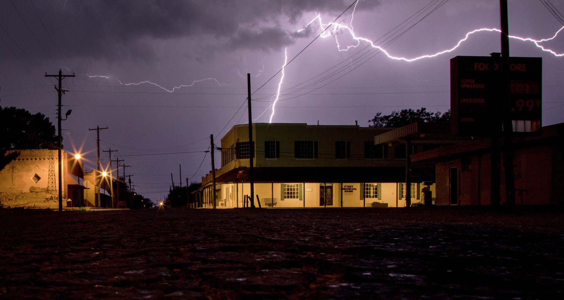
Lightning strikes over downtown Moran, Texas. Weather is expected to be less active in Houston on Memorial Day, although isolated showers and storms cannot be completely ruled out. Other parts of the state could see thunderstorms after Memorial Day.
Houston Chronicle/Hearst Newspap/Houston Chronicle via Getty Images
For Houstonians hoping Memorial Day wouldn’t be another washout, the forecast is offering a silver lining.

After days of scattered downpours, flood concerns and intermittent gray skies across Southeast Texas, the weather pattern for Memorial Day is looking less active, according to the National Weather Service (NWS) Houston-Galveston Office.
Article continues below this ad
However, isolated showers and storms cannot be completely ruled out for the afternoon, mainly east of I-45.
“Additional rainfall totals up to an inch will be possible,” Houston forecasters wrote. “While the threat of isolated localized flooding remains possible under any strong updraft, a widespread flood threat is no (longer) expected.”
Throughout much of the rest of Texas, thunderstorm chances remain higher after Memorial Day.
The weather is expected to be less active in Houston on Monday, although isolated showers and storms cannot be ruled out.
NWS Houston-Galveston
North Texas
To the north, outdoor activities could be interrupted Monday with a chance of scattered showers and storms, according to the NWS Dallas-Fort Worth Office. Meteorologists warn that gusty winds, small hail and frequent lightning remain the main hazards.
Article continues below this ad
“Remember when thunder roars, go indoors,” Dallas forecasters wrote. “Pay attention to the weather over the next couple of days, especially if you have outdoor plans!”
The weather is expected to settle late Monday, but storm chances could return Tuesday night.
“Widespread showers (some locally heavy) and thunderstorms can be expected,” Dallas forecasters wrote, noting that storms could last through Thursday.
Article continues below this ad
Central Texas
Much of Central Texas could remain dry on Monday, though a few storms are anticipated across portions of the Hill Country and I-35 corridor, according to the NWS Austin-San Antonio Office. Residents, including those in the Austin metro area, could see rain late afternoon on Monday into the early evening.
“At this time, no severe weather is anticipated with these storms if they manage to develop,” Austin forecasters wrote on Sunday, adding that temperatures would likely hit the upper 80s and low 90s across South Central Texas.
Severe weather could pop up again mid week, bringing large to very large hail, damaging wind gusts and a possible isolated tornado by Tuesday afternoon or evening.
Article continues below this ad
“Therefore, a concern for flooding is growing for some parts of the local area as 1 to 3 inches of rainfall are possible from Tuesday evening into Wednesday afternoon,” forecasters wrote. “Can’t rule out localized 5 inches of rainfall for that period.”
South Texas could see heavy rain and flash flooding midweek.
NWS Corpus Christi
South Texas
On the Texas coast, the potential for flooding remains through midweek, according to the NWS Corpus Christi Office. Similar to North and Central Texas, heavy rain could move back in Tuesday night into Wednesday morning, bringing the potential for flash flooding.
Article continues below this ad
“Rainfall totals through the mid-week period are forecast generally 1-2 inches, but localized higher amounts would be possible,” Corpus Christi forecasters wrote in their outlook.
Panhandle
The Panhandle could see isolated showers and thunderstorms Monday, with potential localized minor flooding and isolated strong winds, according to the NWS Amarillo Office. However, storms will be very “hit or miss.”
“Memorial Day brings the next opportunity for storms across the western combined Panhandles,” Amarillo forecasters wrote in their outlook. “Instability will be on the weaker side where rain is expected, but any thunderstorm will have a low chance to produce over 0.25″ of rain in the western TX Panhandle by midnight.”
Article continues below this ad
Residents in the central and eastern Panhandles could see a drier Memorial Day, with a less than 20 percent chance of “impactful weather” in the area.
Active weather is expected to move back in on Tuesday, similar to much of the Lone Star State.