
After a wet Memorial Day weekend, the National Weather Service (NWS) says the rain is here to stay this week. The agency issued a Severe Thunderstorm Watch, in effect until 9 p.m. Tuesday, May 26, after a line of storms began forming Tuesday afternoon across the Southern Edwards Plateau.
Forecasters say parts of South-Central Texas remain at risk for severe weather Tuesday. San Antonio, Boerne and Austin are among the cities under a Level 1 risk (out of 5), while Uvalde and Kerrville face a Level 2 threat.
What is there to worry about? Meteorologists predict large hail, gusty to damaging winds, localized heavy rain and constant lightning during the afternoon and nighttime hours.
Folks based near the Alamo City may want to stay inside around 5 p.m. if they can help it, because that’s when the thunderstorms are expected to begin. There’s a 40% chance of rain at this time, rising to 80% just before 1 a.m. on Wednesday, May 27, per the NWS.
In a post on X, the agency shared a scary moment in Georgetown in which a power light caught fire during a storm over the weekend.
Enabling multiple ways to receive weather alerts can help residents stay informed about any life-threatening hazards that may develop. The agency rated all the cities mentioned above at a Level 2 out of 4 for the likelihood of excessive rainfall. Flash flooding becomes highly possible during periods such as these, especially after last week’s downpours filled area lakes and increased runoff. Only La Grange and Cuero are at Level 1.
Uvalde and Rocksprings shouldn’t see any action until 5 p.m., though the earliest possible storm start is 2 p.m., according to forecasters. The system will move over the southern Edwards Plateau and move east overnight.
“Early indications suggest large areas of 1 to 3 inch rainfall amounts with isolated 5 inch totals possible by early Wednesday evening,” the NWS told MySA in its most recent update.
Looking ahead, meteorologists expect a few more downpours mid-week, mainly along and east of the I-35 and I-37 corridors, before the system exits the region.
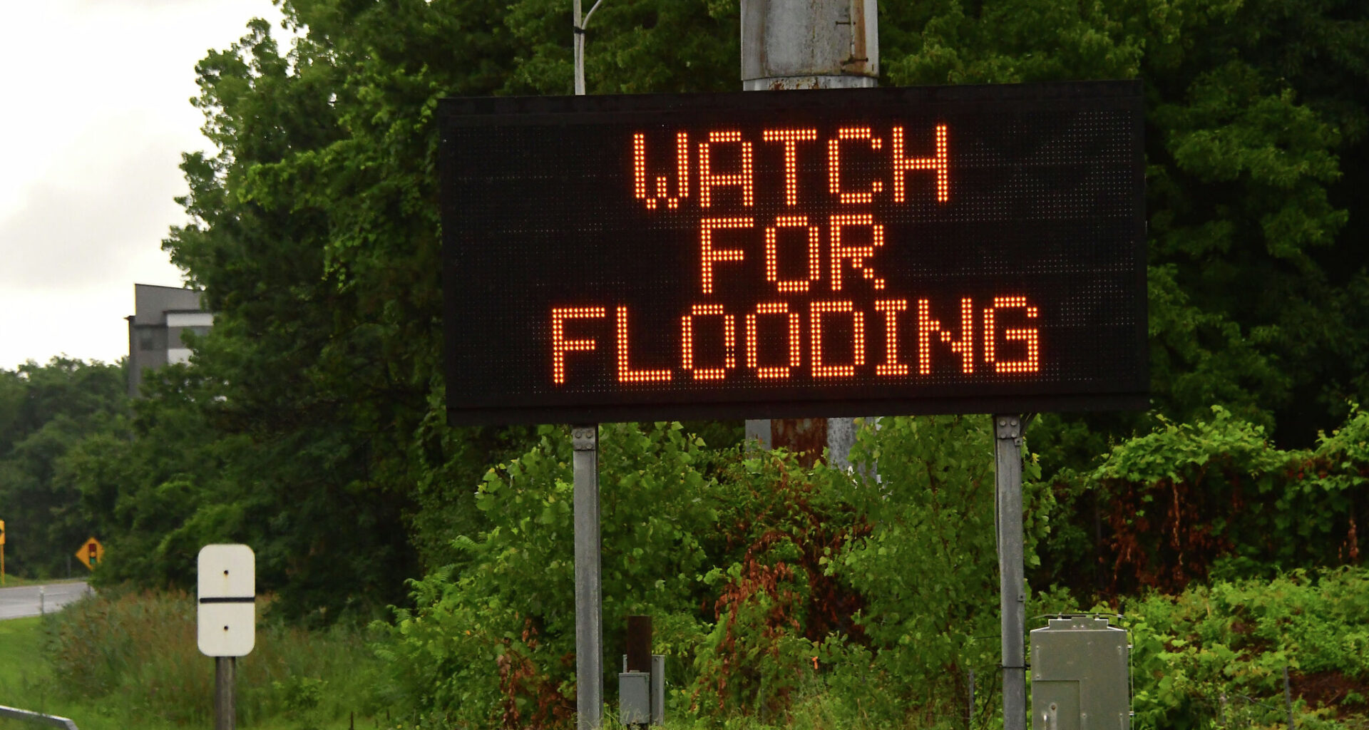
The agency has placed the following South-Central counties under a Flood Watch, according to a notice: “Bandera, Bexar, Blanco, Burnet, Comal, Edwards, Gillespie, Hays, Kendall, Kerr, Kinney, Llano, Medina, Real, Travis, Uvalde, Val Verde and Williamson.” It is in effect from 4 p.m. Tuesday, May 26, through Wednesday morning. During this timeframe, the NWS says creeks could rise out of their banks, and urban areas could be flooded with high water on the roads.
Editor’s Note: This story has been updated with new information from the National Weather Service.