
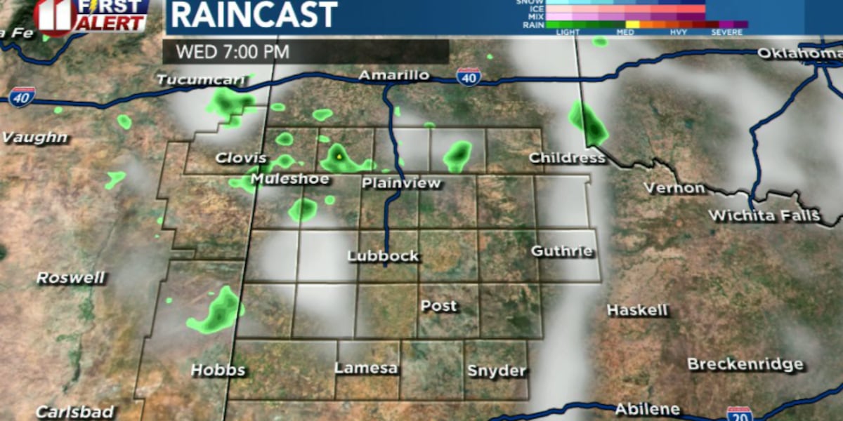
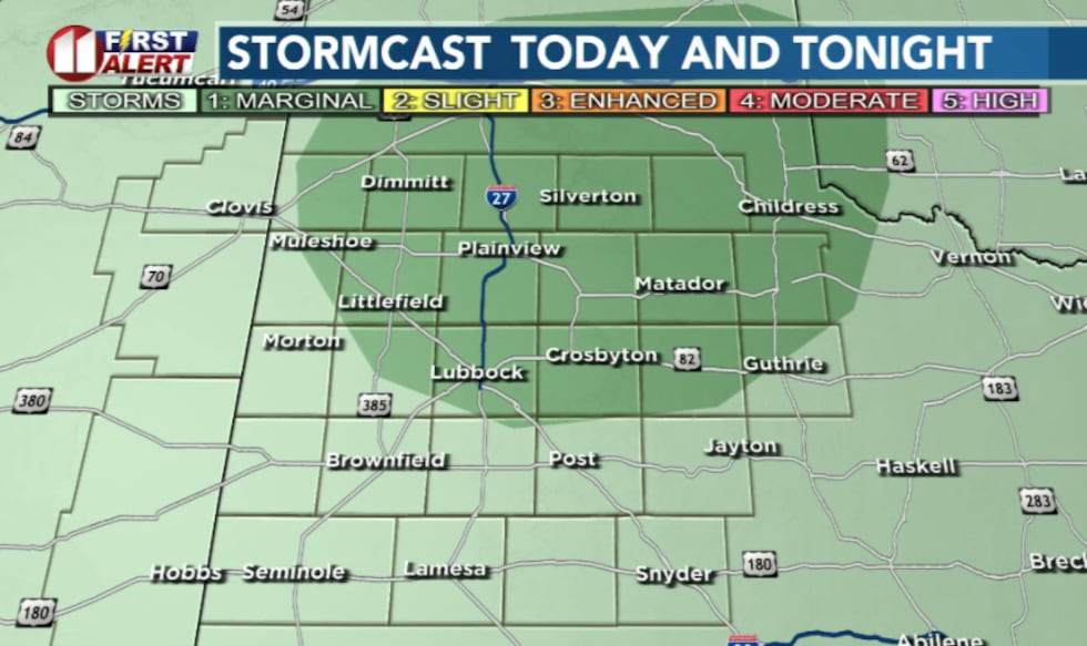
LUBBOCK, Texas (KCBD) – A dynamic weather pattern will bring renewed storm chances to portions of the Caprock and Rolling Plains this afternoon and evening, with a slim chance for strong-to-severe thunderstorms capable of producing damaging wind gusts up to 60 mph and hail up to quarter size.
 KCBD(KCBD)
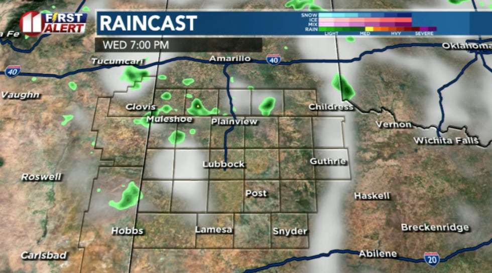
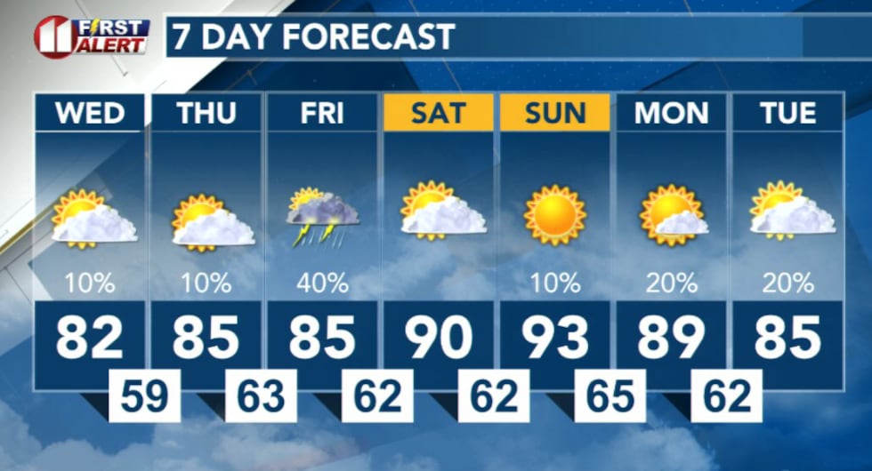
Storm chances will remain low Wednesday, mainly confined to the northern portion of the viewing, besides this, conditions should stay dry through Thursday. However, this break will be short-lived, as storm chances return Friday.
 KCBD(KCBD)
What to expect Wednesday afternoon and evening:
An upper-level weather system is moving across the region, creating an environment favorable for thunderstorm development. While storm chances remain low, any storms that do develop could quickly become severe. The primary threats include damaging winds and large hail.
 KCBD(KCBD)
Wednesday outlook:
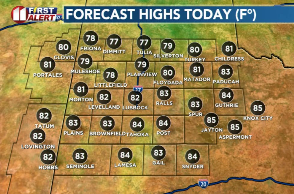
Low clouds will dissipate by midday, allowing for sufficient daytime heating across the region. High temperatures should reach the 80s for most.
 KCBD(KCBD)
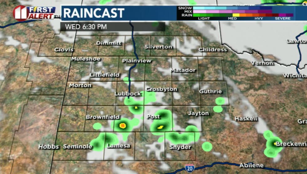
Outflow boundaries over Panhandle could trigger isolated thunderstorm development Wednesday afternoon and evening. However, strong atmospheric capping may prevent storm development entirely. Should storms form, conditions could support severe activity with large hail and damaging wind gusts.
 KCBD(KCBD)
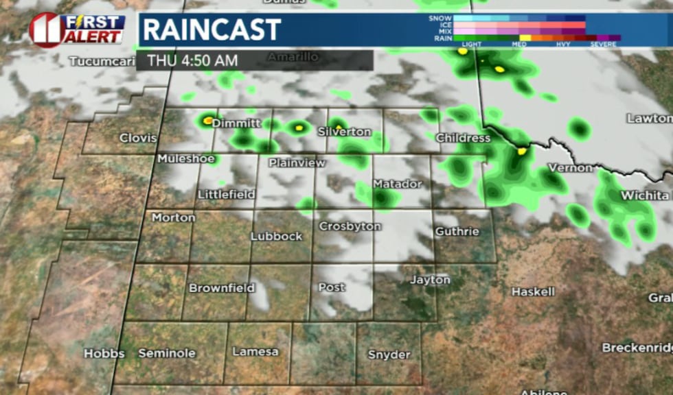
Any storms that develop would move east-southeastward through Wednesday evening. There may be a few showers lingering into Thursday morning then clearing, providing a break from storm chances. A more significant storm threat returns Friday.
 KCBD(KCBD)
Copyright 2026 KCBD. All rights reserved.