
The Brief
The upper low out of New Mexico helping push line of storms into Central Texas
Minimal severe risk but flooding threat will be higher
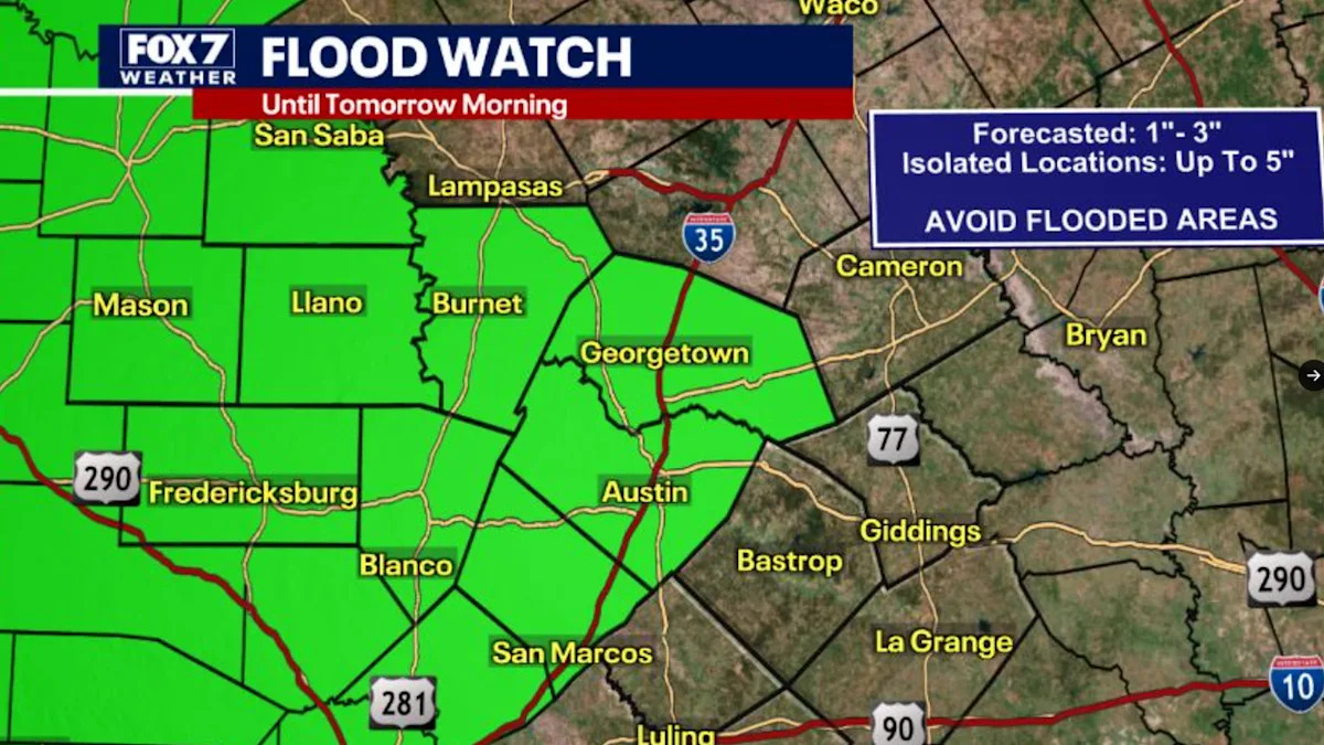
Flood Watch in effect for parts of Central Texas until 8 a.m. May 27
AUSTIN, Texas – The 11th rain event this month is expected to come together tonight.
Central Texas is under a Flood Watch from now until 8 a.m. on Wednesday, May 27.
A Severe Thunderstorm Watch has also been issued by the National Weather Service until 9 p.m. tonight.
A Flash Flood Warning has been issued for Williamson, Blanco and Burnet counties until midnight.
Why you should care
An upper low coming out of New Mexico will help push a line of storms into Central Texas tonight.
There will be enough moisture and lift to keep the storms alive.
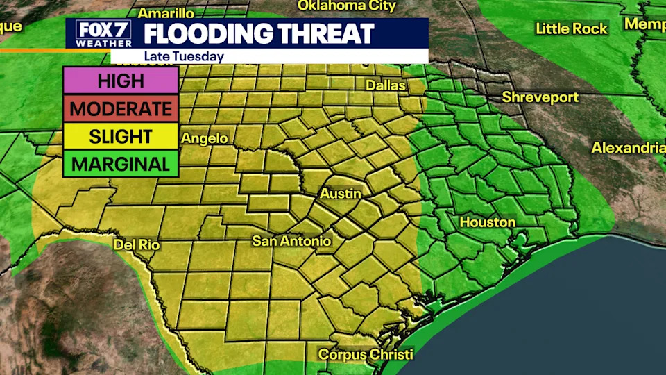
The severe risk will be minimal, but the flooding threat will be slightly higher.
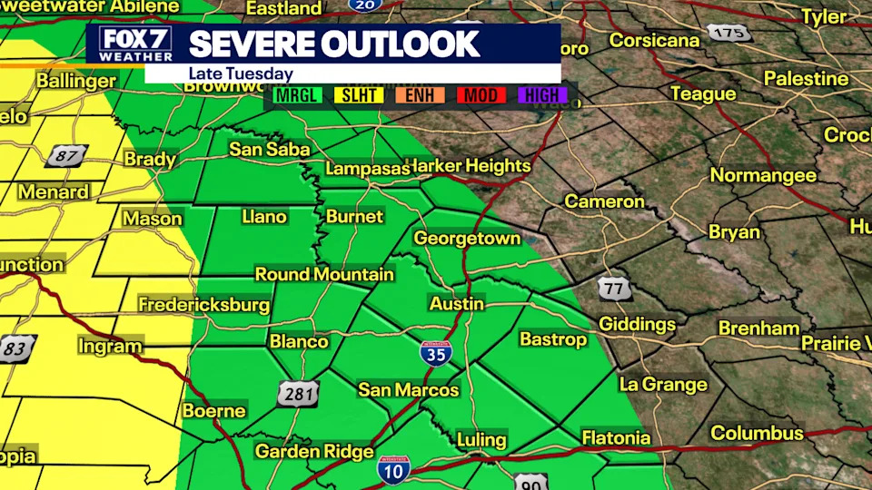
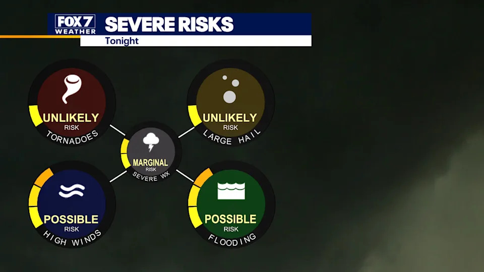
Unlikely to see tornadoes and large hail but strong winds, lightning and heavy rain are possible.
There is FLOOD WATCH in effect from the Western Hill Country to the Concho Valley.
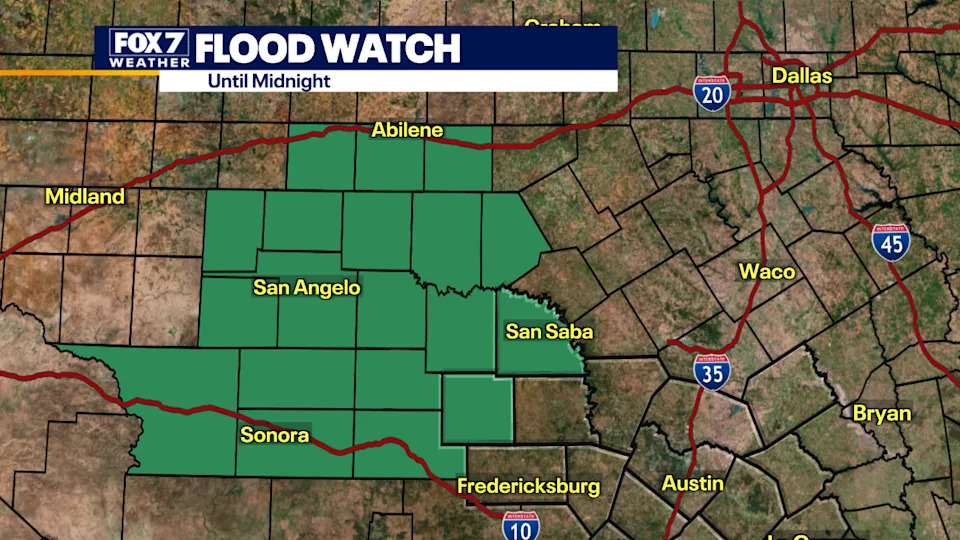
This means watch out with the ground be saturated and more heavy rain in the forecast we could see localized flooding in the low-lying areas.
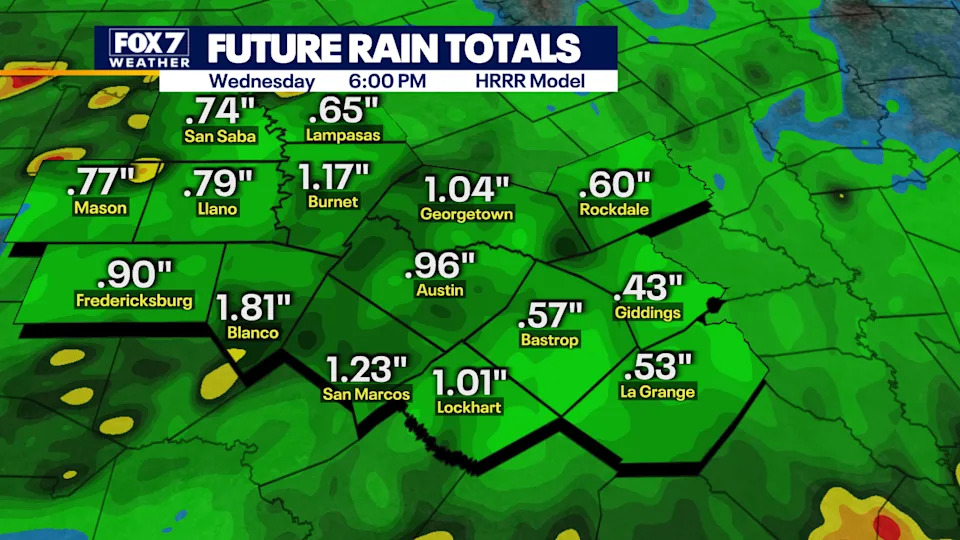
On average, much of the area will receive half to one inch of rain with some spots getting 1 to 2″.
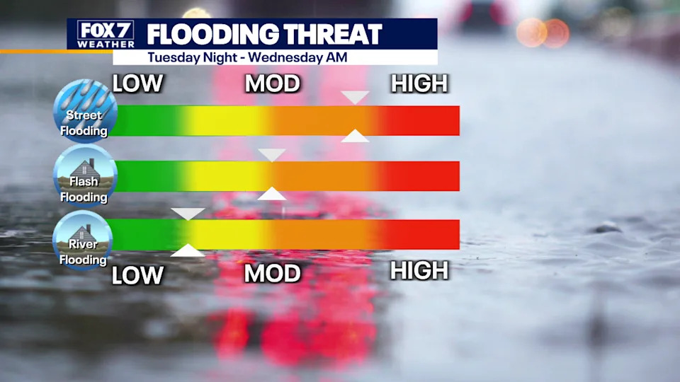
Timeline
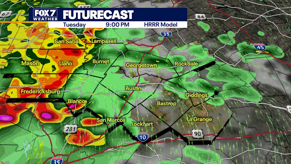
The line of storms will enter the Hill Country first between 8 p.m. and 10 p.m.
The storms will then be sliding into the Austin Metro and I-35 corridor between 10 p.m. and midnight.
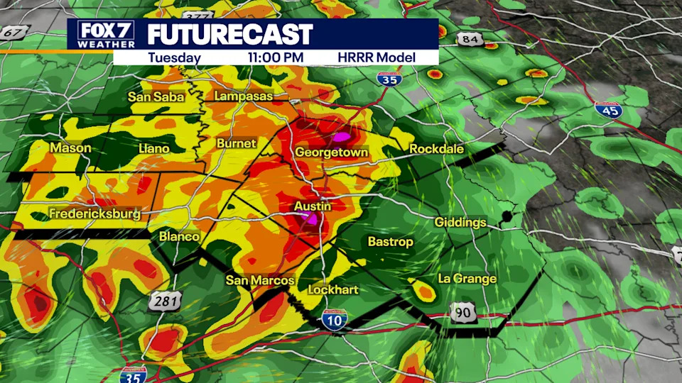
Ponding on the roads and minor street flooding are possible.
What’s next
Drying out and heating up for the second half of the week.
The next rain machine is coming into a view late in the weekend.
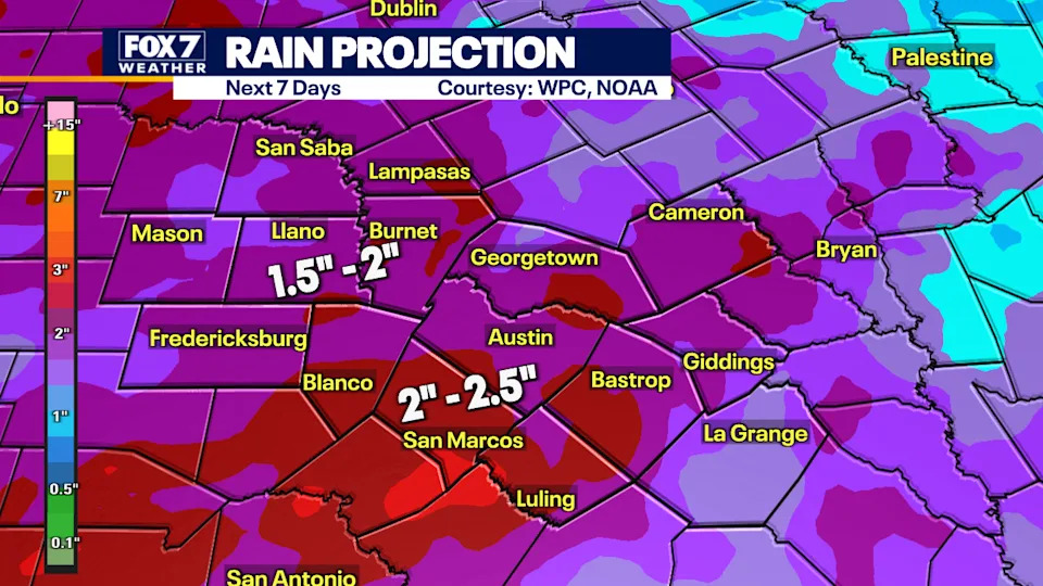
If you factor in the two storm systems much of the area could get 1.5 to 2.5″ in the next 7 days.
The Source
Information from meteorologist Zack Shields.