
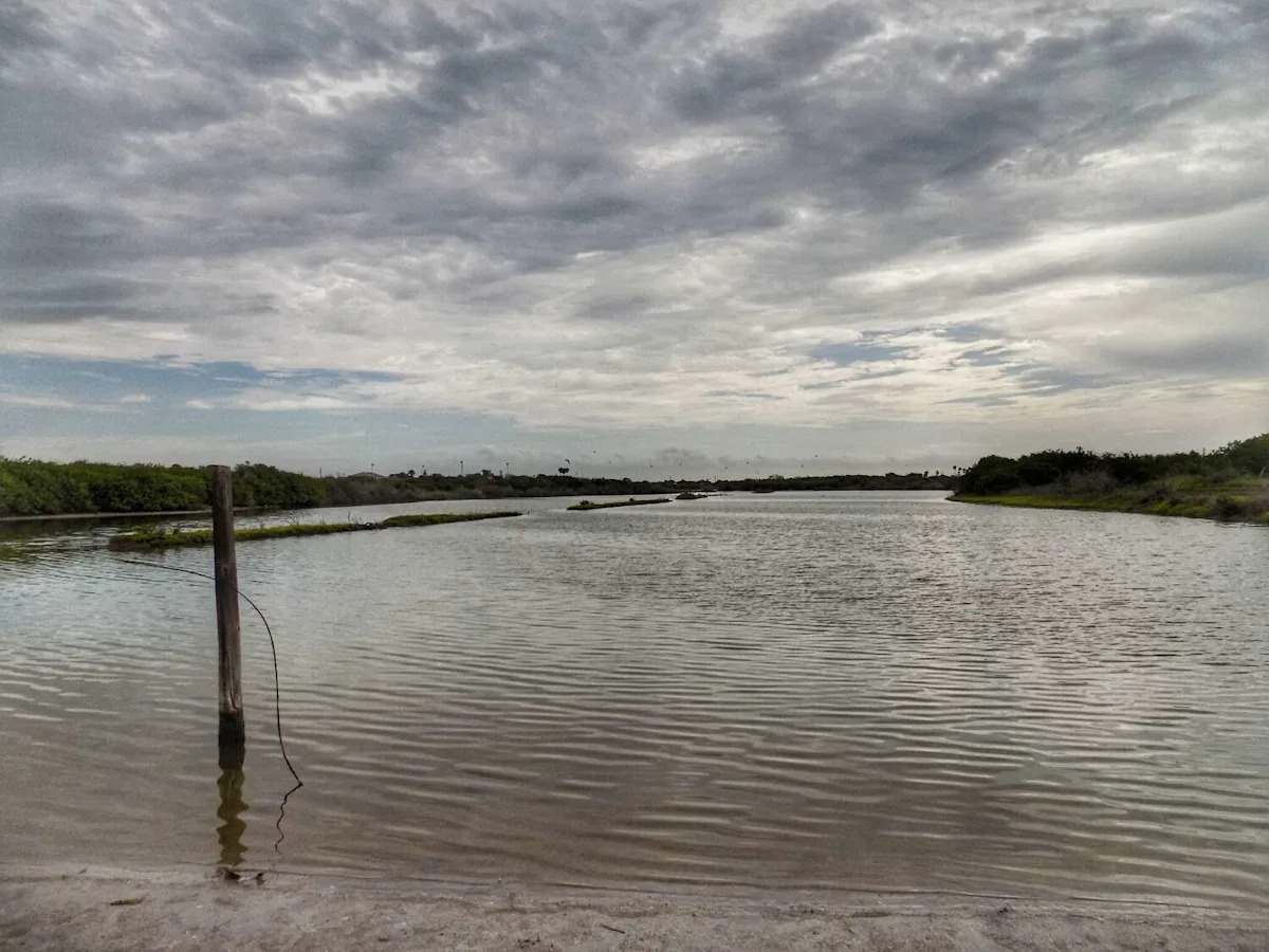
Across Texas, nearly 20 of the state’s dozens of water level gauges are reading high, according to the National Weather Service’s Hydrologic Outlook. Particularly, rivers and streams in South Texas are running high after days of heavy rain, and Oso Creek near Corpus Christi, the most flooded body of water in Texas, is one of only two public water gauges in the country in “moderate” flood stage. The other is in western Alabama.
You’d think this would actually help Corpus Christi, which is in the middle of a significant water crisis, but unfortunately Oso Creek isn’t a place to draw drinking water, as it’s fed by wastewater runoff. Even still, residents who have never seen the creek so high are glad for the change.
“We’ve been having storm after storm after storm and kind of been checking Corpus Christi levels, and it seems like the percentage keeps coming up, so it’s kind of a blessing,” resident John Gabriel Salas told KRIS-TV. While the Oso Creek water isn’t something you’d want coming out of the tap, the rains have slightly improved drought conditions in the city.
As of Thursday, the area’s western water sources were 10.3 percent full-a level not seen in some six months. Residents were quick to weigh in on social media, asking if they could wash their car and (seemingly) joking to keep this information from area refineries. One person even went to dire straits:
“We need a rain drencher, like a tropical depression to just sit there for 3 days,” one comment read.
Across the state
Copano Creek near Refugio, the Nueces River near Bluntzer, the San Bernard River near Boling and the Tres Palacios River near Midfield are all in a “minor” flood stage and are expected to recede to normal levels by early Saturday morning.
River flooding in Texas
Oso Creek near Corpus Christi – 20.80 ft. at 11:15 a.m., moderate flooding; expected to recede by 9 p.m. Saturday
Compano Creek near Refugio – 12.74 ft. at noon Thursday; expected to recede by 5 p.m. Friday
San Bernard River near Boling – 18.1 ft. at 12:15 p.m. Thursday; expected to recede by 7 a.m. Friday
Nueces River near Bluntzer – 17.4 ft. at 11 a.m., minor flooding; expected to recede by 7 p.m. Friday
Tres Palacious River near Midfield – 22.4 ft. at 12:30 p.m. Thursday; expected to recede by 7 p.m. Friday
High water levels as the state drains from storms, particularly closer to the coast, aren’t exactly surprising. However, as temperatures rise and Texans look to natural water features to cool off, it’s important to keep in mind the hazards that exist even without major flooding.
Runoff frequently brings branches and other debris into rivers, creating new and unseen hazards for even the most experienced swimmer or kayaker. Higher water levels also can hide hazards that would have been easily avoidable under normal conditions.
“During high flows, the whole river reach may act like one long set of rapids,” the Texas Department of Parks and Wildlife cautions. “During high flows, the fast current may draw the unsuspecting paddler into other hazards. These include entrapment in floating debris such as logs, sweepers and strainers.”
More Weather
Rating | FEMA gives Harris County a perfect 100 for hurricane risk
Repeat | Houston storms knock out power again despite CenterPoint upgrades
Damage | What to know about the ‘monster’ tornado that ripped through Texas
Forecast | Texas faces higher risk of direct hurricane impact than past years
For the latest and best from Chron, sign up for our daily newsletter here.
This article originally published at Be careful if you’re planning to cool off in a South Texas river this weekend.