
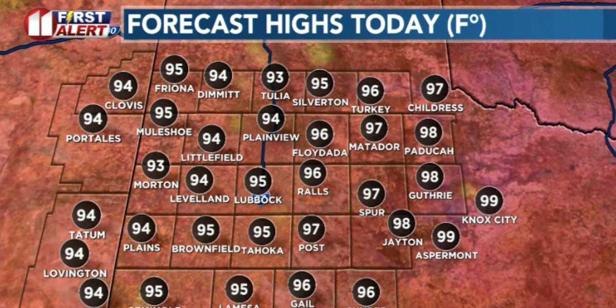
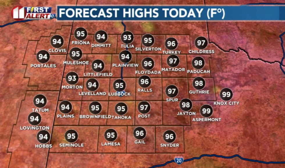
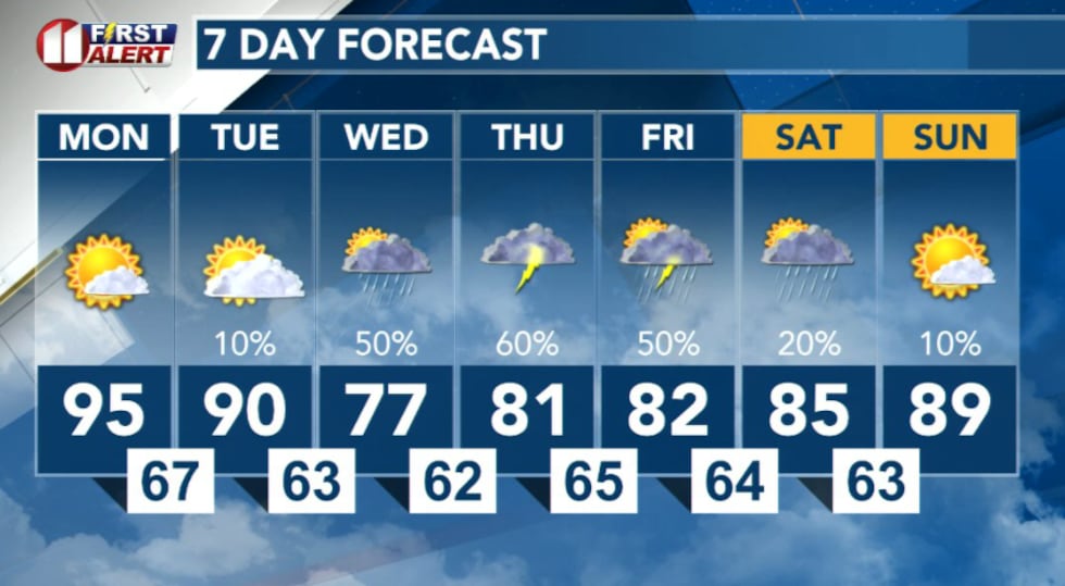
LUBBOCK, Texas (KCBD) – The region will kick off the week with another day of above-average temperatures as highs are expected to reach the mid to upper 90s today — about 5-10 degrees warmer than the normal high of 89 degrees for June 1st.
 KCBD(KCBD)
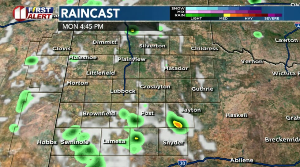
The afternoon warmth combined with a relatively healthy amount of low-level moisture could spark isolated pop-up thunderstorms this afternoon and evening. However, the threat remains scattered, with only about a 10-15% chance of storms across the region.
 KCBD(KCBD)
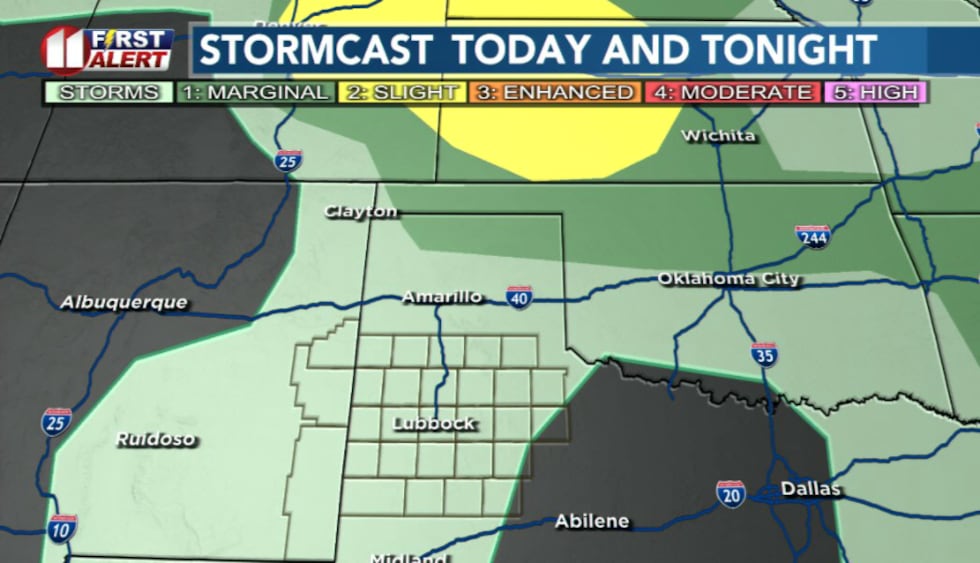
Without a well-defined dryline, it’s difficult to pinpoint exactly where storms will develop. While the severe weather threat is low, a strong cell or two could produce gusty winds and brief downpours if they do form.
 KCBD(KCBD)Midweek storm system on the horizon
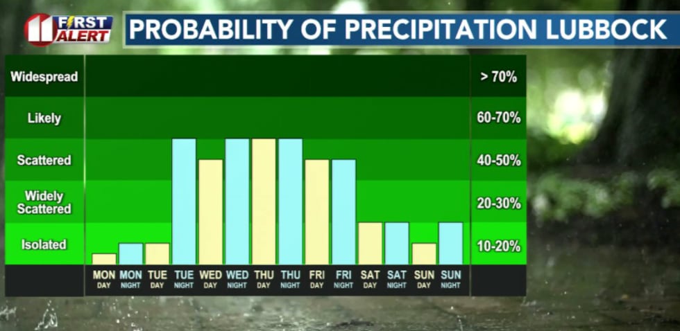
Better chances for more widespread storms are expected midweek, with the potential for locally heavy rainfall Tuesday night through Wednesday as an upper low moves into the region.
 KCBD(KCBD)Relief coming
Highs Tuesday will be slightly cooler in the upper 80s and low 90s. Daily rain chances and cooler temperatures are expected for the remainder of the week as the system moves through.
 KCBD(KCBD)
Copyright 2026 KCBD. All rights reserved.