
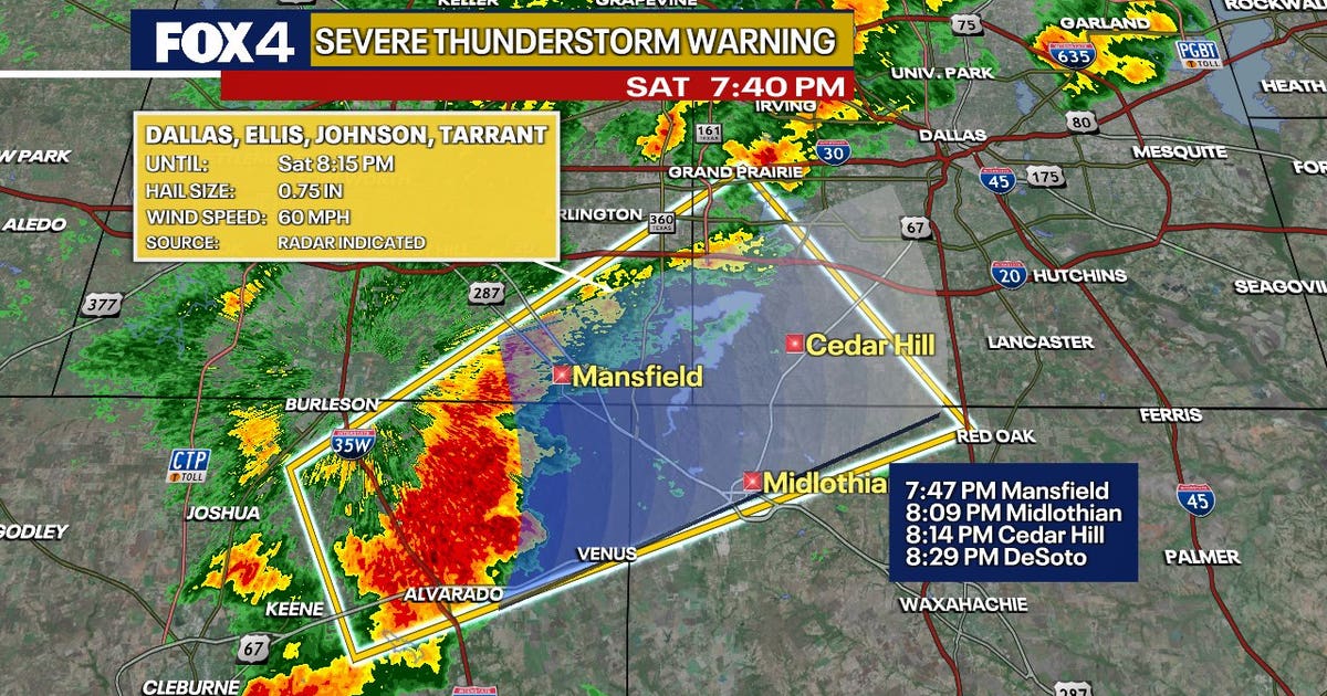
DALLAS – Residents across North Texas should prepare for rounds of heavy rain and thunderstorms through Sunday, with flash flooding emerging as the primary concern as multiple waves of storms move across the region.
Saturday Night Forecast 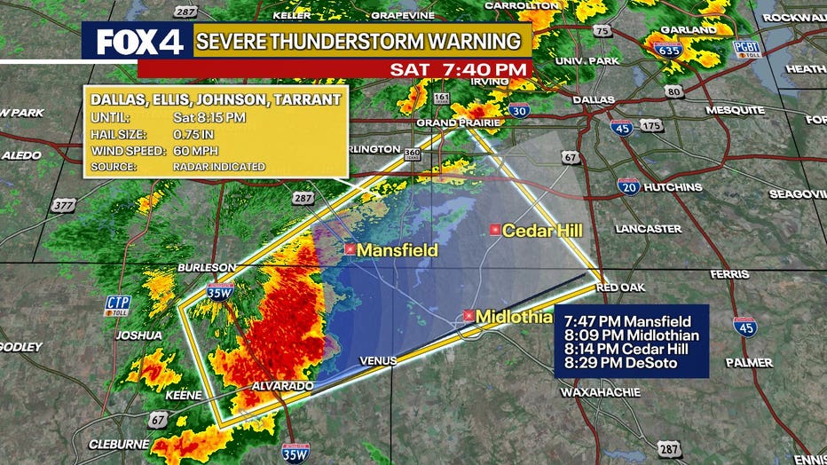
Thunderstorms are already producing torrential rainfall across parts of Tarrant, Denton and Wise counties Friday evening, with some locations receiving 2 to 3 inches of rain in less than an hour. Forecasters say the current round of storms is only the beginning, with additional waves expected overnight.
While a few storms may generate gusty winds and small hail, the overall severe weather threat remains low. Tornado potential is considered minimal. Instead, the main hazard will be intense rainfall rates capable of overwhelming drainage systems and causing flash flooding.
A Flash Flood Warning has been issued for Denton County through 9 p.m., and a Flood Watch remains in effect for much of North Texas through Saturday afternoon.
 Dallas weather: June 6 morning forecast
Saturday is off to a rainy start for most of North Texas! More activity is expected throughout the weekend. Flood Watches remain in effect through Sunday afternoon.
Sunday Forecast
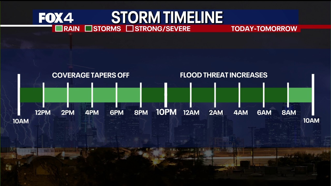
An active storm pattern will continue through Saturday and into early Sunday as repeated rounds of showers and thunderstorms develop from southwest to northeast across North Texas. Forecasters expect storms to train over some of the same locations, increasing the risk for flooding.
Most communities are expected to receive 2 to 3 inches of rainfall, while isolated locations could see 6 to 8 inches where storms repeatedly move over the same area. Urban areas, including the Dallas-Fort Worth Metroplex, will be especially vulnerable to flash flooding if the heaviest rainfall develops over heavily paved areas.
Periods of heavy rain are expected through Saturday night before precipitation gradually tapers off during the second half of Sunday.
Flooding threat
Dig deeper:
The National Weather Service and local meteorologists are urging residents to monitor changing conditions overnight and avoid driving through flooded roadways. Rainfall rates could exceed 1 to 3 inches per hour in the strongest storms, quickly creating hazardous travel conditions.
Officials say flooding, not tornadoes or damaging winds, will be the primary weather threat through the weekend.
Look Ahead 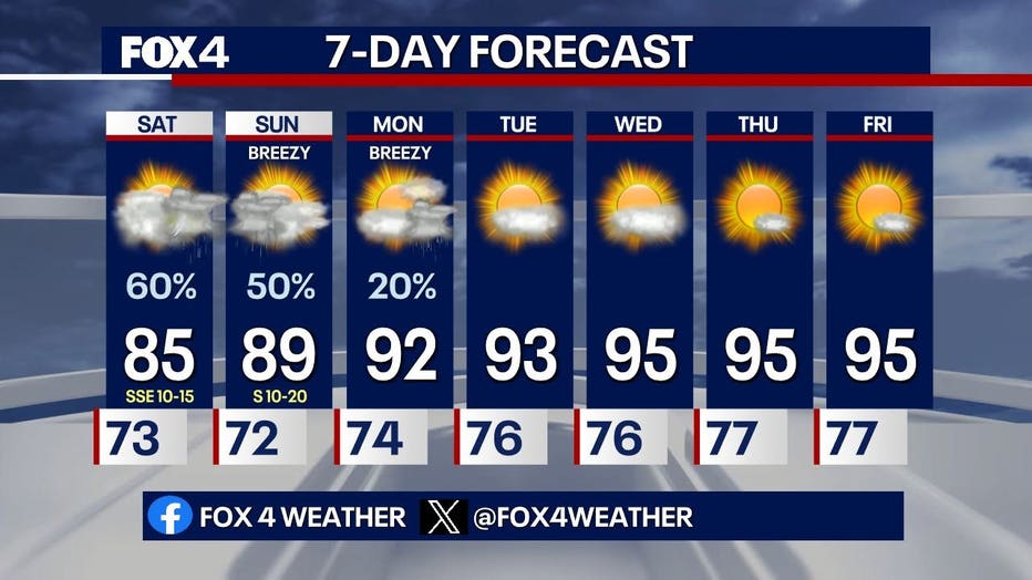
What’s next:
Rain chances will decrease Sunday afternoon as the storm system exits the region. While drier weather is expected to return, residents should remain alert for lingering high water issues where the heaviest rainfall occurs this weekend.
The Source: Information in this article was provided by the FOX 4 Weather Team.