
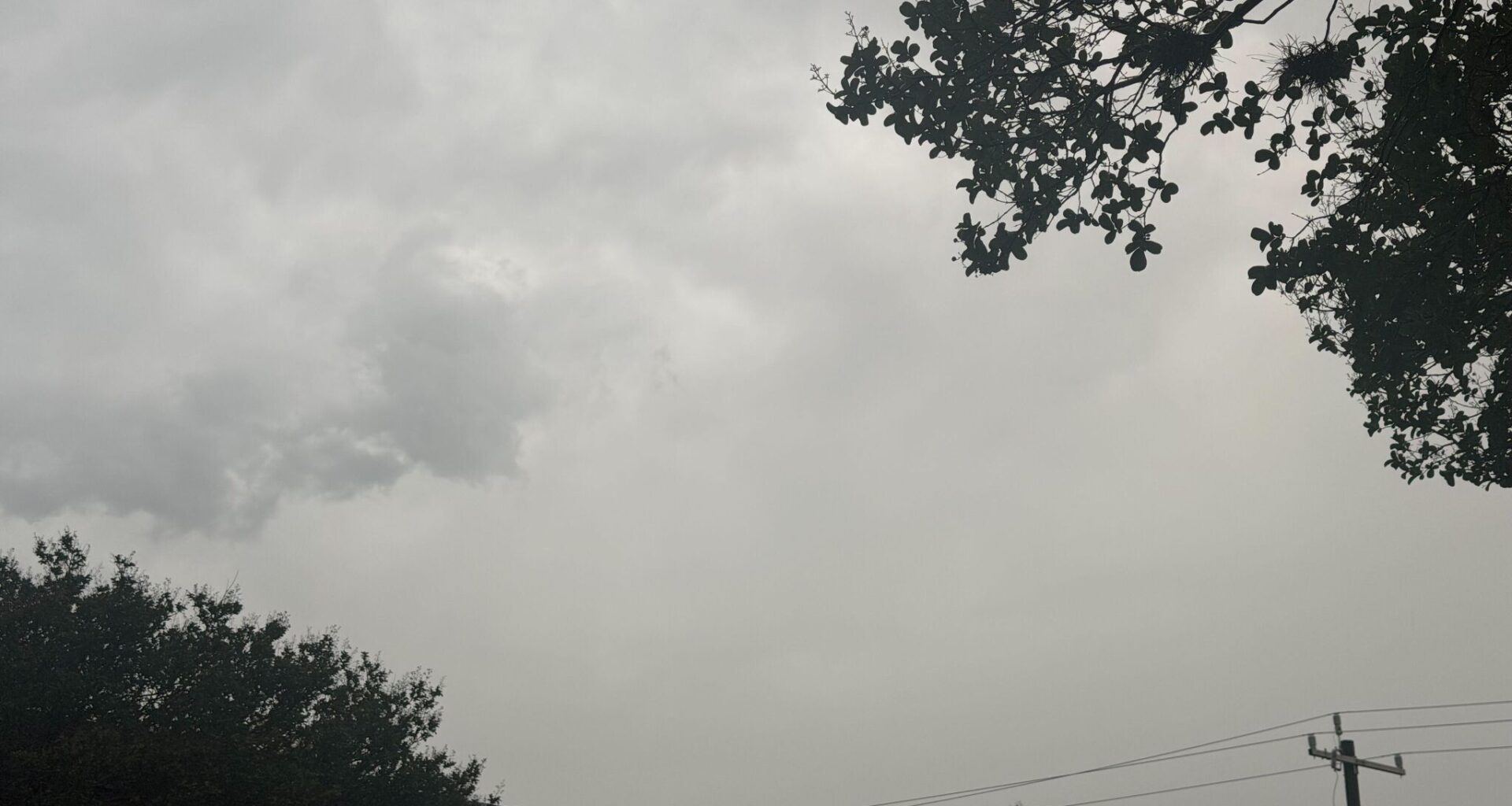
Storms are beginning to flare up across San Antonio on Monday afternoon, according to radar from the National Weather Service (NWS). Images from NWS indicate that the storms are moving north into the San Antonio area.
NWS reports a 20% to 40% chance of showers and thunderstorms this afternoon. Forecasters don’t expect any of the storms to be severe. However, for folks in the Texas Panhandle, the risk for severe weather is higher.
NWS says there’s a slight chance of thunderstorms developing in the Texas Panhandle this afternoon, with the potential for gusty winds, large hail and a low-grade tornado risk. Forecasters said isolated thunderstorms have a 10-20% chance of forming between 4 p.m. and 10 p.m. on Monday, June 8, though locals could see storm impacts as early as 2 p.m.
After today’s storms, San Antonio’s next chance for rain and thunderstorms isn’t expected until Saturday, when the forecast calls for only a 20% chance of precipitation. Until then, residents can expect a stretch of warm weather, with highs reaching 87 degrees on Monday. Conditions will feel even hotter on Tuesday, when heat index values could reach 100 degrees, according to the NWS.
“Heat indices may climb into the 105-110 range by late week, but adequate mixing should limit things from getting too muggy in the afternoons,” the NWS forecast discussion says.