
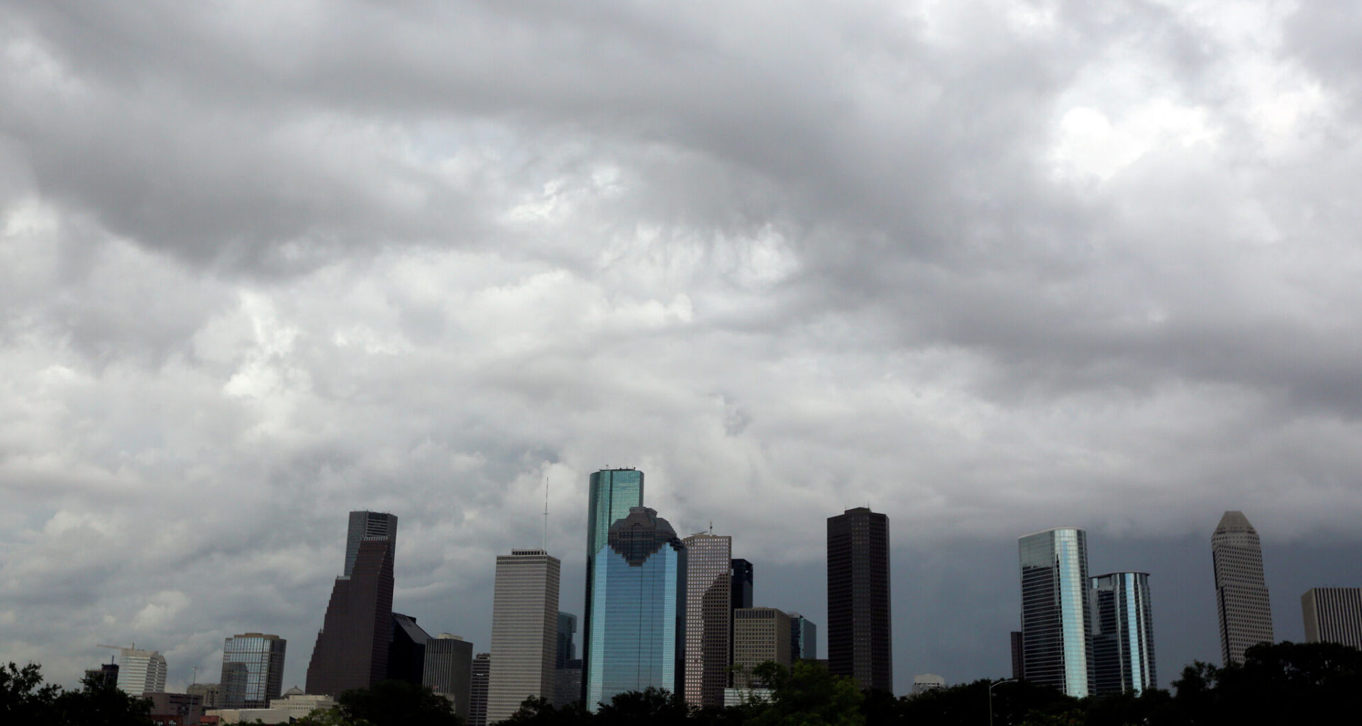
A cold front is expected Thursday morning in the Oklahoma Panhandle first before moving south through the Texas Panhandle.
The front could trigger severe storms in parts of the southeastern Panhandle, but the severe weather risk is heavily dependent on the front’s timing and speed.
Temperatures during the day on Thursday are still forecast around 99 degrees, according to the National Weather Service (NWS) Amarillo Office. However, on Thursday night, temperatures could drop to a cooler low around 65 degrees. Nighttime lows in the upper 50’s to 60’s are forecast through Monday.
By Friday morning, the cold front will move south towards North Texas. Forecasters expect the front to stall near or just north of the Red River by sunrise on Friday, bringing scattered showers and thunderstorms north of I-20 through the afternoon.
The NWS Dallas-Fort Worth Office anticipates a low of around 77 degrees Friday morning. However, it sounds like the reprieve from the heat won’t last long—potentially not even into midday.
“Most of the region will remain dry during the afternoon with another hot and humid day on tap with heat indices approaching 100 (to) 107 degrees,” Dallas forecasters wrote in their outlooks.
Saturday is also expected to be dry and hot, with a higher chance for thunderstorms rolling in on Sunday, lasting into the early week.
“A very moist environment and modest wind shear will support heavy rainfall and even an isolated severe weather threat, so make sure you are following the forecast over the next several days,” forecasters wrote.
The cold front could sweep into Southeast Texas early Tuesday morning, according to the NWS Houston-Galveston Office. Scattered showers and storms will be possible as the front moves south towards the coast.
However, there’s still time for the positioning of the front to change over the next several days.
“Regardless, declining temperatures/heat stress and rising rain chances are anticipated for the first half of next week,” Houston forecasters wrote in their outlook.
On Tuesday, Houstonians could see a low around 76 degrees, dropping to a low around 75 on Wednesday, according to AccuWeather’s 10-day outlook.