
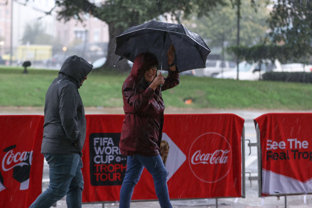
Forecasters with the National Weather Service are warning that a cold front expected to arrive Sunday night could bring a period of heavy rainfall and possible flash flooding to Southeast Texas.
“Rainfall totals late Sunday through Tuesday are forecasted to range from around 1-3 inches, though higher amounts to around 5 inches cannot be ruled out,” the agency wrote in its Friday forecast discussion.
Temperatures will remain hot through the weekend with “feels-like” temperatures ranging from 97 to 107 degrees. Forecasters said the region’s weather pattern is expected to shift Sunday night as a cold front pushes toward Southeast Texas.
Ahead of the front, atmospheric moisture is forecast to increase significantly, creating favorable conditions for widespread showers and thunderstorms.
The National Weather Service has already placed Southeast Texas under a Marginal Risk for excessive rainfall Sunday night, with conditions expected to increase to a Slight Risk on Monday.
Space City Weather meteorologist Matt Lanza echoed those concerns Friday, noting Houston’s recent stretch of heat should give way to a “significantly wetter” pattern beginning Sunday night and lasting into at least Tuesday.
Fortunately for fans attending Team USA’s match Sunday, the heaviest rainfall threat currently appears to arrive after the 12 p.m. kickoff. However, visitors planning to spend multiple days in Houston for World Cup events may want to keep an eye on the forecast.