
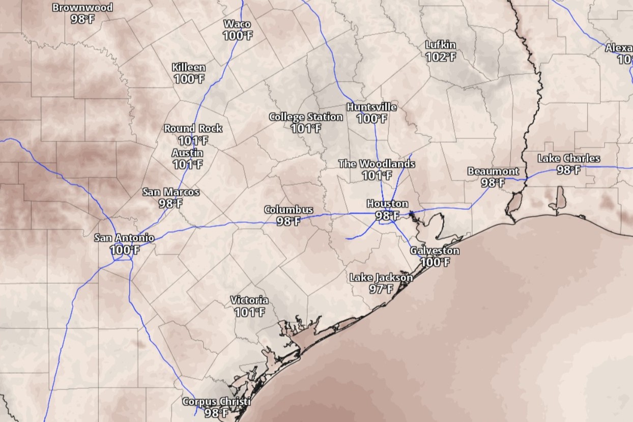
Expect sporadic showers throughout the day in Austin on Saturday under otherwise partly skies. Humidity will continue to keep Central Texas inside Mother Nature’s sauna, so even as temperatures peak in the lower 90s, the steamy air will feel hotter than 100 degrees.
Gusty southerly winds at 5 to 10 mph will keep moisture-rich air flowing into Central Texas throughout the weekend, but changes in the weather pattern will start to emerge Sunday, according to the National Weather Service.
An upper-level ridge of high atmospheric pressure has been the biggest influence on the weather in the past few days, but that’s coming to an end with the arrival of a cold front early next week.
“Upper ridge axis shifts Sunday afternoon to allow for shower and thunderstorm chances to increase and expand,” the weather service said in a forecast bulletin Friday. Rain chances during the day will be mainly focused along and east of the Interstate 35 corridor before expanding westward overnight.
Austin on Sunday has a 40% chance of afternoon showers under partly sunny skies and accompanied by south-southeast winds of 5 to 10 mph. Dew point temperatures, which can indicate uncomfortably muggy air at 65 degrees or higher, will be solidly in the 70s over the next several days. The humid air will easily make the projected peak air temperature of 92 degrees feel more like 100.
Rain chances ramp up to 70% Sunday night, forecasters said, mainly after midnight and into the wee hours of Monday.
“A rare June cold front approaches South-Central Texas on Monday, bringing with it scattered showers and thunderstorms Monday afternoon and night,” the weather service said. “An impressive mid-level trough (of low pressure) for mid-June will dive southward out of southern Canada into the upper Midwest, with a shortwave embedded within this trough moving through North Texas.”
The threat of severe weather is low, forecasters said, adding that “gusty winds and locally heavy rainfall will be the primary concern Monday afternoon through Tuesday morning.”
Austin on Monday has an 80% chance of showers and possibly thunderstorms. Daytime temperatures are likely to cooler than normal because of the rain-cooled air, peaking only at 87 degrees. Rain chances ease to 60% at night but mostly after midnight.
Rainfall totals of up to an inch are possible in Austin through Tuesday, according to the National Blend of Models, a composite weather forecast model.
The weather service’s flood forecasters at the Weather Prediction Center have placed large parts of South and Central Texas under a low-end level 1 of 4 risk, or at least a 5% chance, of flooding rainfall Sunday night and into Monday.
“Lingering showers and thunderstorms are expected Tuesday morning before afternoon clearing,” the weather service said. “Slightly cooler temperatures are also expected Tuesday with highs in the 80s, following the passage of the front.
Austin on Tuesday has a 50% chance of rain with afternoon temperatures likely to stay below 88 degrees. But daytime temperatures should rebound into the 90s by Wednesday.
“Thursday and Friday could feature a return of more tropical moisture from a disturbance over the western Gulf, but only time will tell if this moisture works into our region,” forecasters said.