
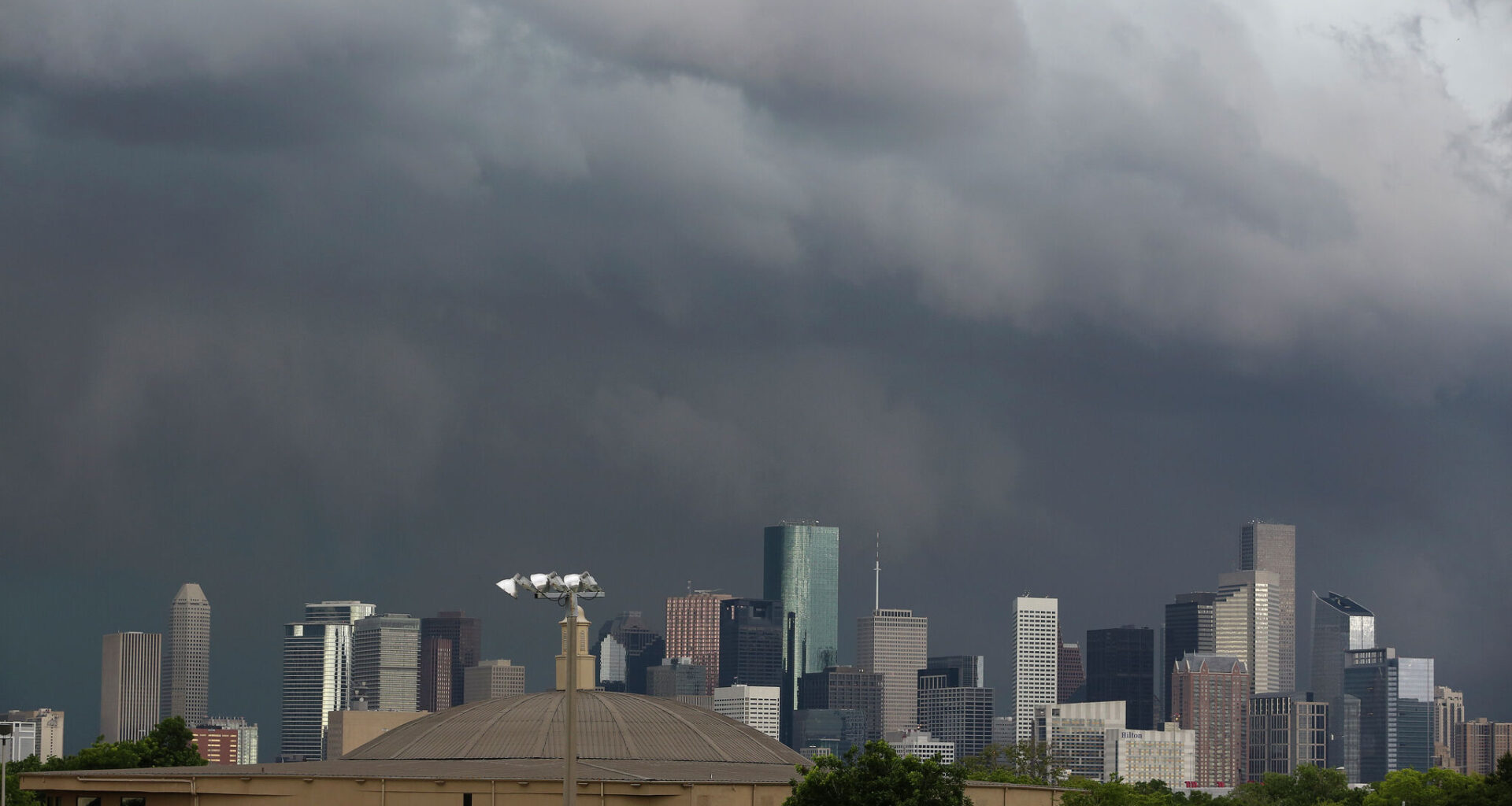
The National Hurricane Center has identified an area of potential tropical development over the northwestern Gulf, giving it a 20 percent chance of forming over the next seven days. While the odds of development remain low, meteorologists say the system is expected to increase rain chances along the Texas coastline throughout the coming week.
“A broad area of low pressure located over eastern Mexico is producing disorganized shower and thunderstorm activity,” according to the NHC. “Development is not expected during the next day or so while the low remains inland over northeastern Mexico or southern Texas.”
Regardless of whether the system becomes a tropical depression, Gulf moisture associated with the disturbance is expected to move toward Texas, bringing periods of showers and thunderstorms to the southeastern portion of the state.
Some areas could see locally heavy rainfall and isolated flooding.
In Houston, scattered showers and thunderstorms are possible through midweek, according to the National Weather Service (NWS) Houston-Gavleston Office.
“We’ll likely see isolated/scattered showers early in the morning over the Gulf/coastline, increasing in coverage and spreading inland by the afternoon hours as storms also develop,” Houston forecasters wrote in their outlook.
Rain chances will pick up again after midnight into the early hours Monday morning, stalling out and lingering through Tuesday.
In the south, rain chances continue through the upcoming week and adverse marine conditions are expected through the weekend.
“Current forecast has widespread 3-5 inches through the Coastal Plains from early Monday through Wednesday,” forecasters in the NWS Corpus Christi Office wrote in their outlook. “With the rainfall rates we will expect to see, there will almost certainly be localized higher totals.”
Forecasters are warning of the potential for flash flooding and rip currents.