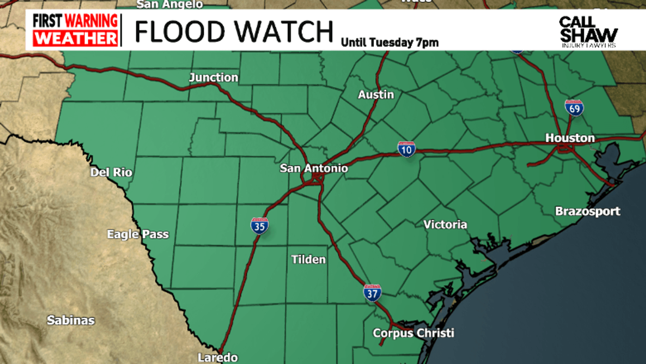
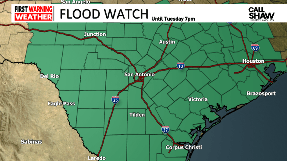
SAN ANTONIO – A Flood Watch was issued for San Antonio and surrounding counties in our viewing area through Tuesday evening.
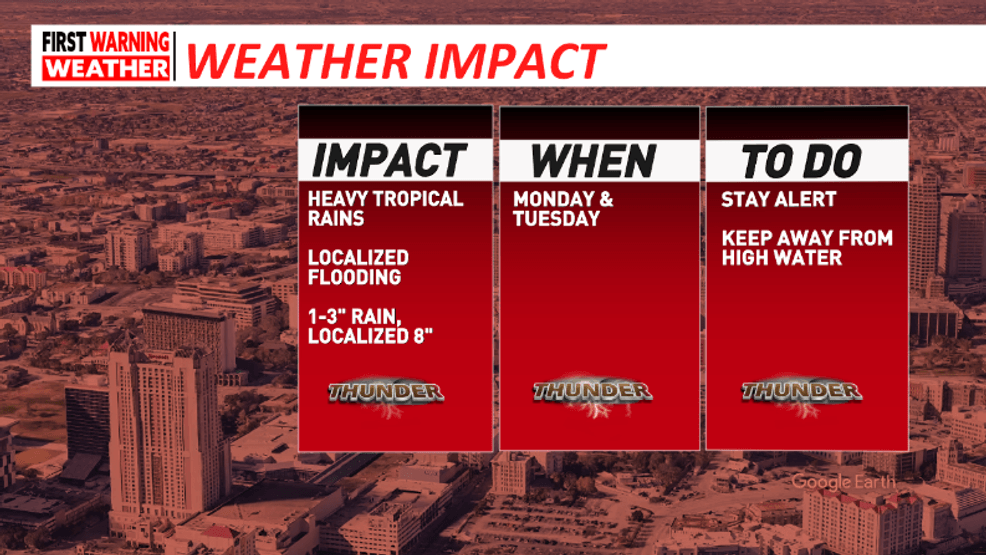
Most will see a general 1″ – 3″ rainfall in watch but isolated amounts of 5″ – 8″+ are possible.
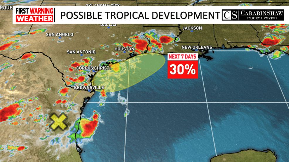
An extremely high amount of moisture is pumping into the area from the tropics.
This, combined with a weak cold front stalling in our region will develop scattered showers and thunderstorms the next few days.
Extremely high rainfall rates will be possible in these storms which can quickly add up especially if the storm is slow moving or storms are training over the same area.
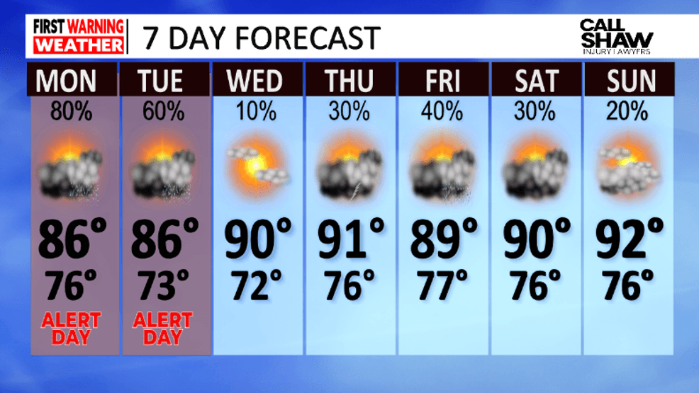
The greatest risk days will be Monday and Tuesday, with activity becoming more isolated by Wednesday.
 Comment with Bubbles
BE THE FIRST TO COMMENT
However, scattered thunderstorms are in the forecast late week as humidity stays high and another system moves in.