
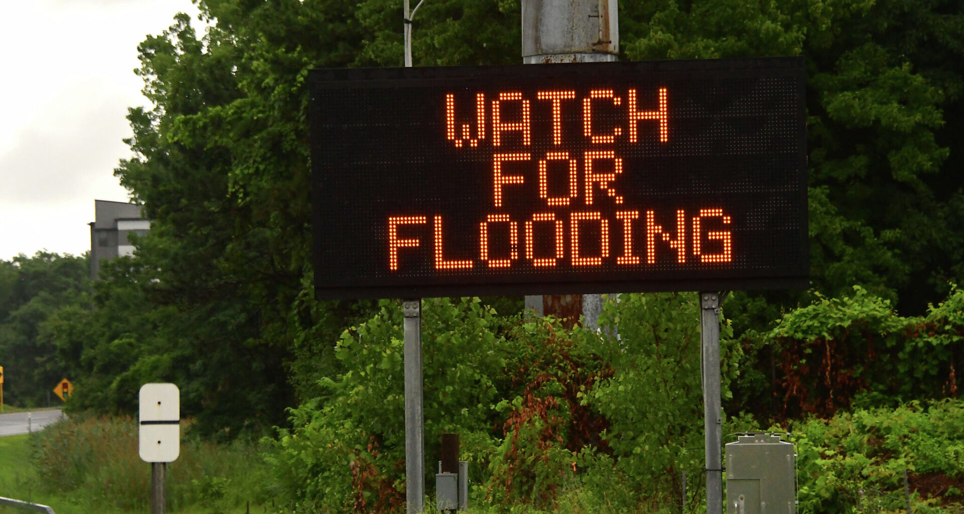
After a few days of sunny skies, it’s looking like rain may return to San Antonio. The National Weather Service (NWS) is expecting storms to roll into the area as early as Monday, June 15.
Your morning commute could involve wet roads. According to the NWS, there’s a 60 to 80% chance of rain in the morning and through the afternoon. Showers are likely after 7 a.m. Monday.
Meteorologists’ main concerns are storms that could bring gusty winds and locally heavy rainfall to the region. Much of the area faces a marginal risk (Level 1 of 4) of excessive rainfall, according to the agency, with the Coastal Plains at Level 2.
Flash flooding is possible from the Alamo City to the Hill Country now through Tuesday, June 16, according to San Antonio meteorologist Sarah Spivey. The gloominess will bring cooler conditions across the region, potentially giving Texans a break from the early summer heat. Forecasters are calling it “a rare June cold front” and note that the high will be around 87 degrees during the daylight hours and near 73 degrees at night.
The chance of rain is lower but still present (around 50%) on Tuesday, June 16, with storms most likely before 1 p.m. Folks should enjoy the milder temperatures while they can. The NWS says it won’t last long, with temperatures climbing back into the 90s by Wednesday, June 17.
Outdoor plans could be disrupted, and road closures may be in effect. Some areas, such as Salado Creek near the I-35 North Frontage Road and Cassin Road on I-35 South, are prone to flooding. Residents can monitor any shutdowns at BexarFlood.org.