
Follow along with live radar above
LUBBOCK, Texas (KCBD) – Rainfall for Sunday, according to the West Texas Mesonet, varied from a trace to a few tenths of an inch for most of the South Plains. There were a few communities that received one-third to one-half an inch of rainfall.
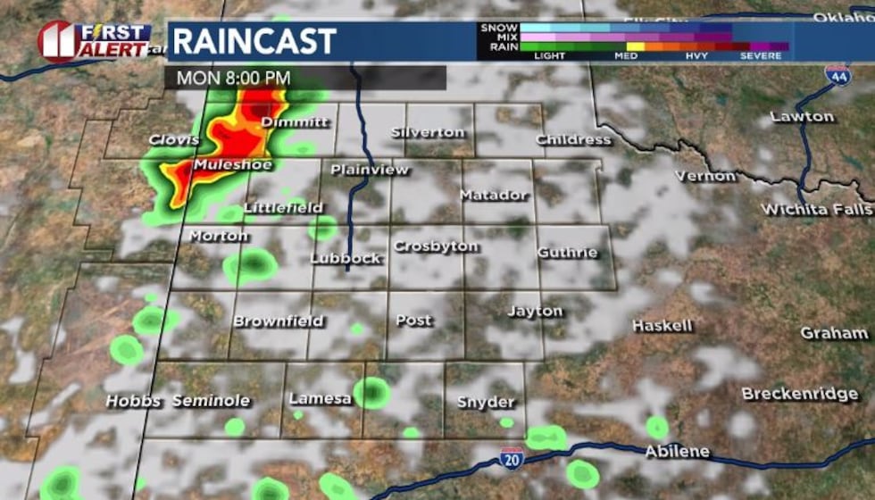 Rain chances will linger through Monday evening over the area, but the probabilities will be lower by Tuesday.(John Robison | KCBD Graphic)
Rain chances will linger through Monday evening over the area, but the probabilities will be lower by Tuesday. Storms are expected to develop in northeast New Mexico Monday afternoon and track into the northwest and possible central South Plains in the evening. Some of the storms may be marginally severe with hail and high winds.
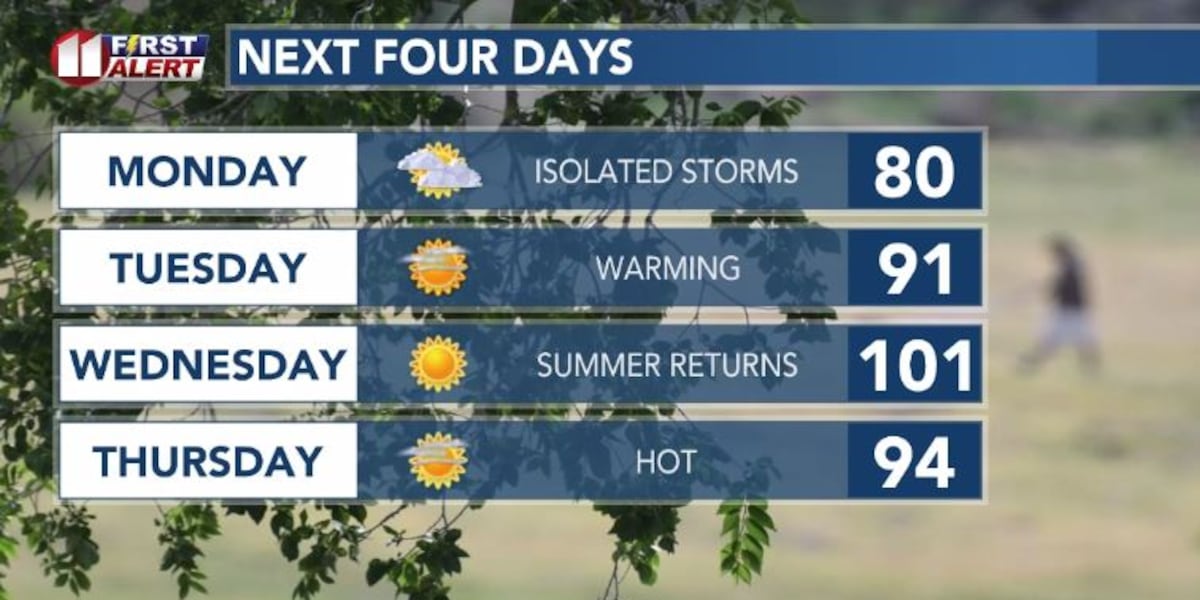
As the rain chances decrease on Tuesday the focus will be a return of summer temperatures for all of the South Plains as the week progresses.
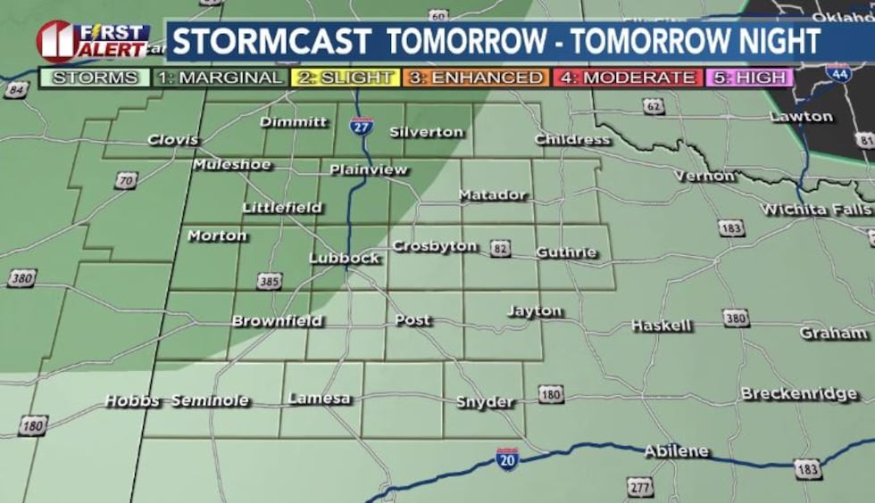 Rain chances will linger through Monday evening over the area, but the probabilities will be lower by Tuesday.(John Robison | KCBD Graphic)
Monday will be continue to be pleasant with highs mostly in the 80s.
On Tuesday, the afternoon temperatures will climb to 90 degrees or higher in most areas. Wednesday will likely be the hottest day of the week as afternoon maximum temperatures hit, or exceed 100 degrees.
We can expect relief the following day with 80s and 90s, but the following two days will return to the 90s with low rain chances.
Copyright 2026 KCBD. All rights reserved.