
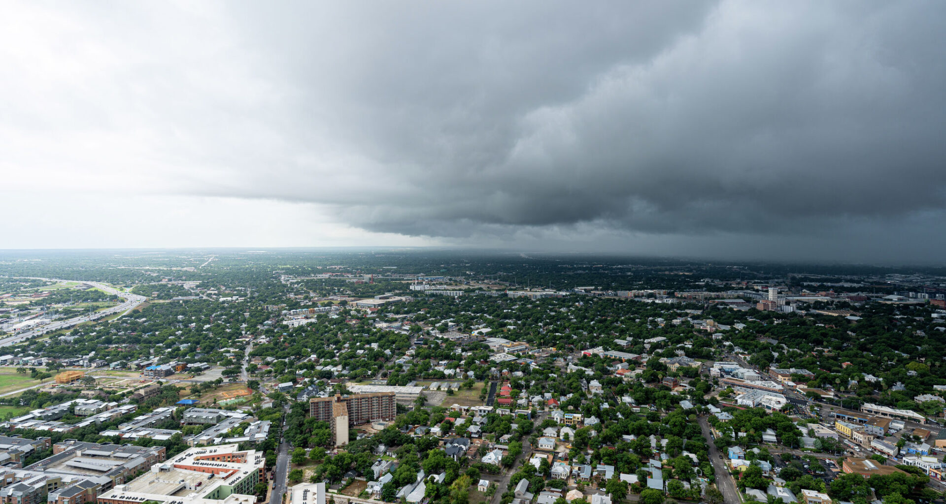
After hours of heavy rain soaked the greater San Antonio region Monday morning, June 15, a Flood Watch remains in place as “torrential downpours” may bring inches of rain back into the forecast. Forecasters are urging people to avoid driving through flooded roads and to stay weather aware.
The flooding has already led to 20 high-water rescues and investigations in the Alamo City, even shutting down a major highway as first responders worked to pull someone from the rising water. While the rain eased as the morning ended, additional rounds of rainfall could continue to send water rushing across city streets and low-water crossings.
The National Weather Service says another 1 to 3 inches of rain could fall on widespread areas of South-Central Texas, from San Antonio to Austin and across the Texas Hill Country, Monday into Tuesday. Some pockets of the region could see repeated rounds of heavy rain totaling up to 8 inches or more.
“A Flood Watch is in effect for South-Central Texas from 7 PM this evening thru 7 PM Tuesday,” the National Weather Service Austin-San Antonio office wrote. “Heavy rain is forecast with isolated pockets more than 8 inches, which may fall quickly and could cause life-threatening flooding. Stay weather aware!”
This Flood Watch spans nearly the entire region, from as far north as Llano and Fredericksburg down to Eagle Pass and Carrizo Springs. From east to west, it includes Del Rio and Langtry, extending to La Grange and beyond Austin.
Forecasters warn that not only may creeks, rivers and low-water crossings flood quickly, but any areas downstream of locations with possible 8-inch rain totals may also experience flooding.
With moisture sweeping in as a byproduct of Tropical Storm Cristina, which hit Mexico last week, the federal agency says rain may continue to douse South-Central Texas in the coming days. Rain chances taper off by Wednesday, then pick up again Thursday night and linger through the entire weekend forecast.