
Provided
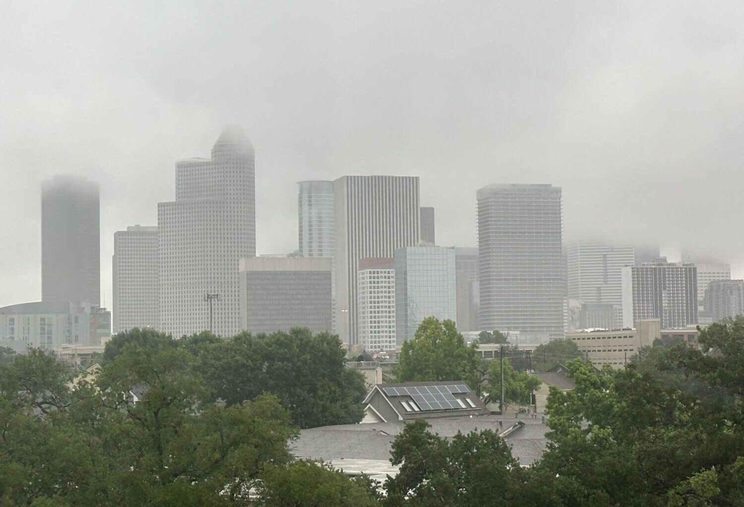
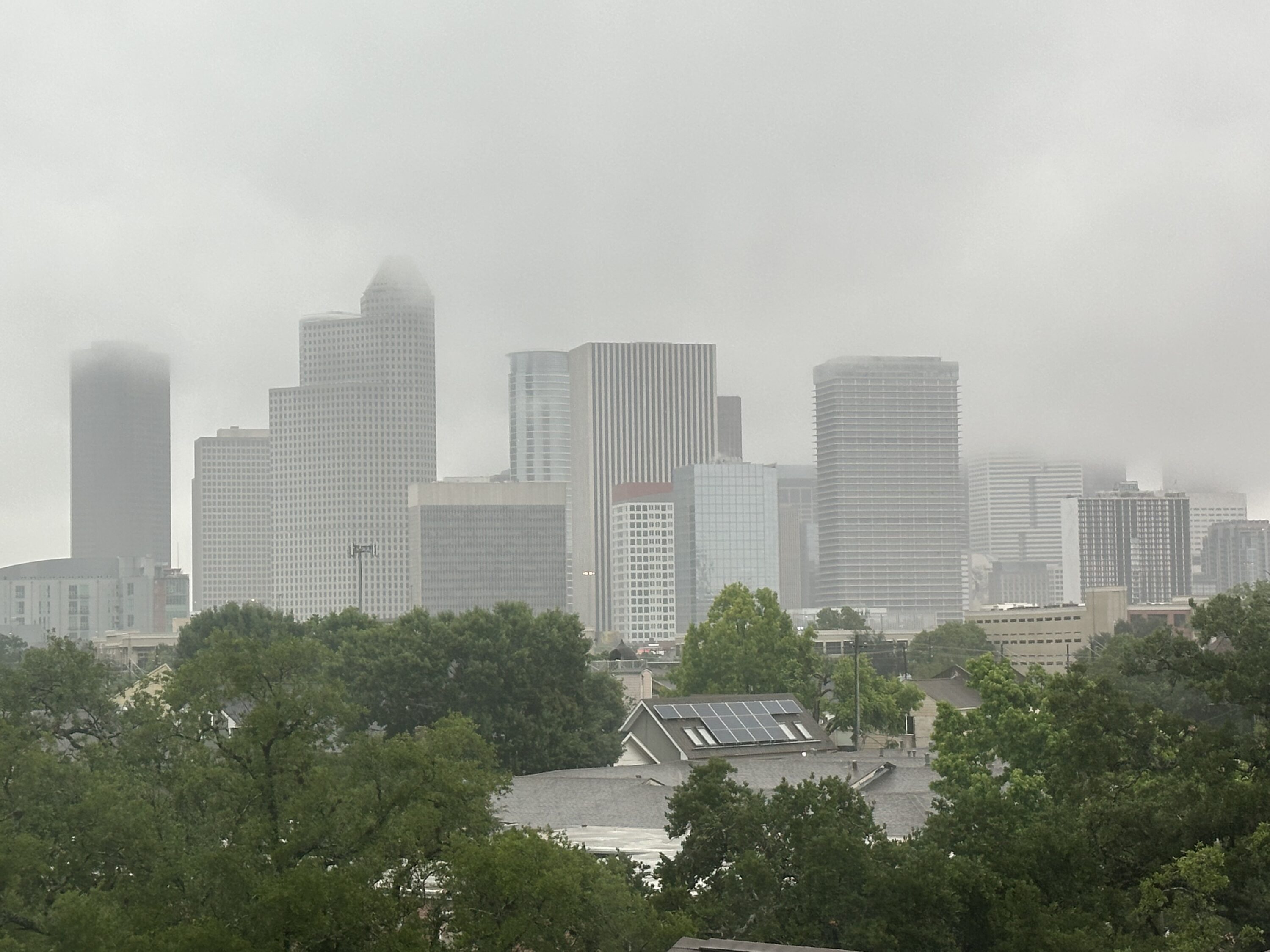
Rain falls across Houston on May 1, 2026.
Much of the Houston area was under a flood warning Monday afternoon, according to the National Weather Service, which received reports of rising waterways as well as flooded roadways and low-lying areas.
The flood warning, which expired at 4 p.m., applied to Harris and Montgomery counties, where between 2-4 inches of rain had fallen as of mid-afternoon Monday. Areas in the north and northeastern parts of Houston were expected to experience flooding, according to weather service’s Houston/Galveston office, which said minor flooding was expected along the Greens Bayou at U.S. 59.
Some high-water locations emerged Monday afternoon along northbound Interstate 45, according to Houston TranStar.
Sign up for the Hello, Houston! daily newsletter to get local reports like this delivered directly to your inbox.
There is a risk of heavy rainfall throughout much of the week as the Houston area is under a flood watch until Thursday morning.
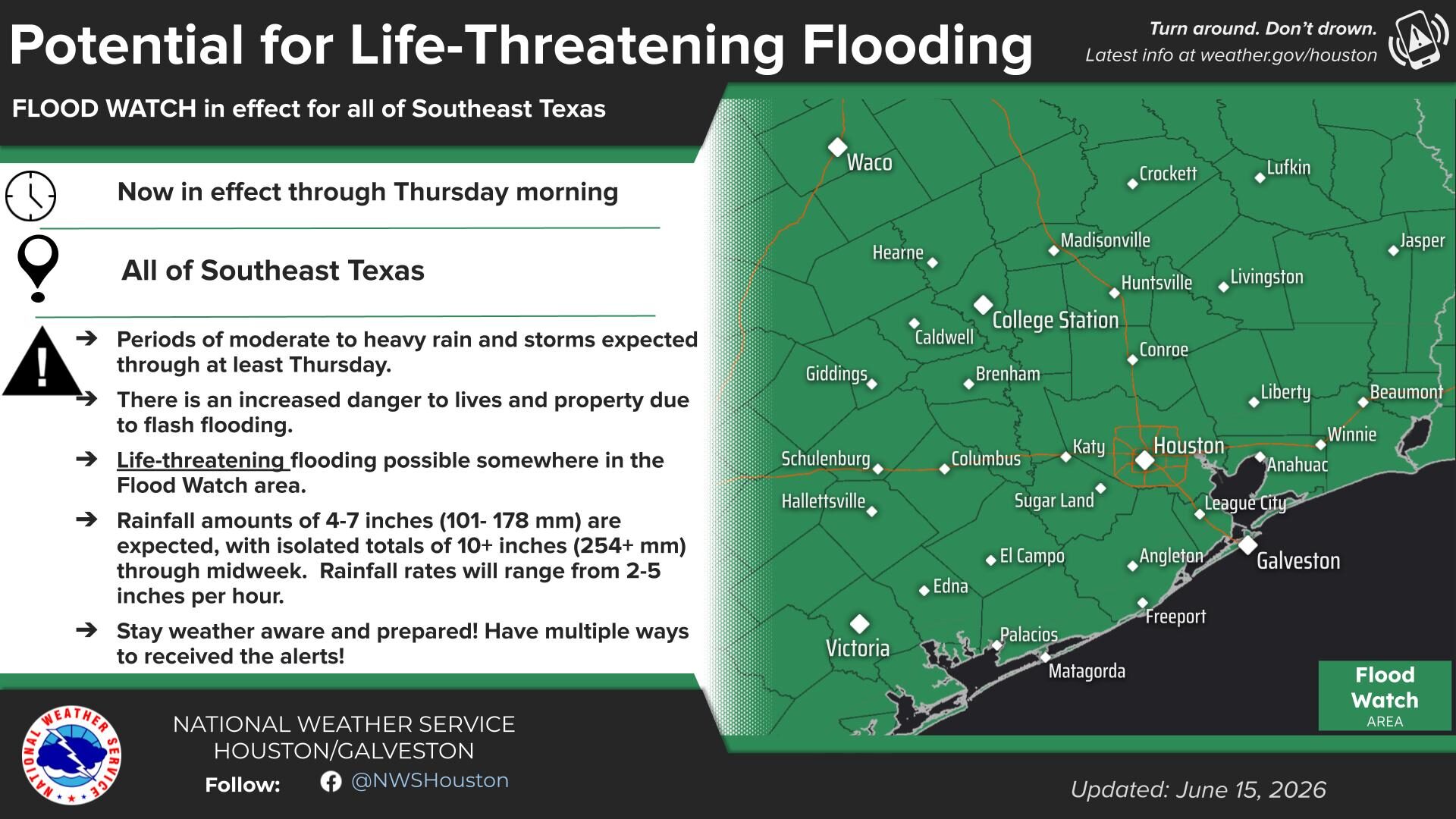
As of Monday, the weather service had all of Southeast Texas — from Waco to Galveston — under a flood watch. According to the weather service, there is a chance of life-threatening flooding throughout the region with projected total rainfall amounts of 4-7 inches. Isolated areas may see totals of 10 or more inches of rain.
RELATED: Dangerous flooding unfolds across Texas as heavy rain drenches state
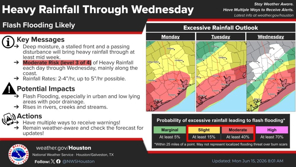
Through Wednesday, there is “at least” a 40% chance of flash flooding in the Houston and Galveston area, according to the weather service.
Provided/NWS
The NWS Houston/Galveston Office has issued a flood watch for all of Southeast Texas.
Cody Lindsey, a meteorologist with the weather service’s Houston/Galveston office, said a slow-moving front will cause multiple days of showers for the region.
“We do have a front that’s slowly making its way across central portions of Texas, and we’ve already got numerous showers and thunderstorms that have developed along that frontal boundary coming into the Brazos Valley early this morning,” Lindsey said. “So, all of that heavy rain is just going to be gradually pushing southward with time today and continuing over the next few days.”
RELATED: Houston’s rainy forecast prompts Monday closure of FIFA Fan Festival in East Downtown
The weather service is also monitoring a tropical disturbance that, as of Monday, had a 30% chance of developing over the northwestern Gulf.
“Regardless of developments, the tropical moisture associated with that system is going to get drawn up here into Southeast Texas and will interact with the front that’s just going to kind of stall out over the area to produce some potential for heavy rainfall and flash flooding through midweek,” Lindsey said.
Provided/NWS Houston/Galveston Office
The NWS Houston/Galveston office is warning that the Greater Houston area is at a moderate risk for heavy rainfall and flooding until Wednesday.
Rain chances are expected to increase Tuesday, with a 90% chance of showers and thunderstorms, Lindsey said.
“We’ll be watching for some of those showers and thunderstorms to produce heavy rainfall rates,” he said. “[We] could see rainfall rates in excess of 2 inches per hour. … Those torrential downpours could really result in some urban flooding or flooding of low-lying areas.”
Houston Public Media’s Rob Salinas contributed to this report.