
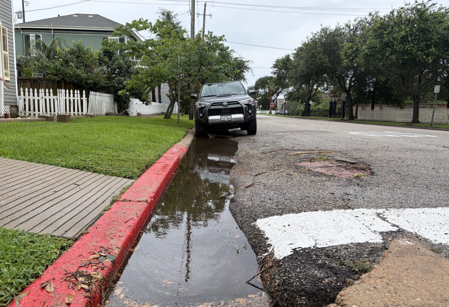
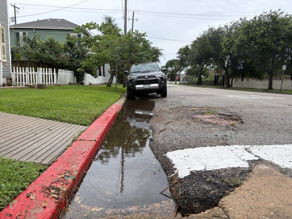
Julianna Washburn/Houston Public Media
The city of Galveston is under a flood watch through Thursday morning.
The National Hurricane Center issued a tropical storm watch for Galveston and surrounding areas on Tuesday while it tracks a potential tropical cyclone moving northeast along the Gulf Coast.
Galveston County officials have asked residents to stay aware by watching for weather alerts and flooding in the area.
Sign up for the Hello, Houston! daily newsletter to get local reports like this delivered directly to your inbox.
“If you can’t see the road, don’t drive through it. It’s not a time to try to gauge the depth of the water with your car or truck,” Galveston County Judge Mark Henry said Tuesday. “If you can’t see the road, turn around, don’t drown, find another route.”
RELATED: Dangerous flooding unfolds across Texas as heavy rain drenches state
The entire Southeast Texas region is under a flood watch until Thursday morning, meaning conditions are favorable for possible flooding. A flood warning means flooding is imminent or underway.
The National Weather Service issued a series of flash flood warnings late Tuesday morning and early afternoon in suburban areas north of Houston, including Cleveland, Conroe, Hockley, Spring, Tomball, Waller and The Woodlands.
The Houston region was projected to receive total rainfall amounts between 4-7 inches between Monday and Thursday, with higher amounts possible in some isolated areas, according to the weather service.
RELATED: Houston area faces more rain as a tropical disturbance approaches
As of Tuesday afternoon, the Galveston area had received more than 1.5 inches of rain during the previous 72 hours. The area is under a coastal flood advisory and expected to receive up to 7 inches of rain by Thursday, according to city officials.
Henry specifically highlighted flood risks on the Bolivar Peninsula, which is located northeast of Galveston Island.
“They have flooding issues when there is no tropical system, just high tides and freshwater rainfall. So, add in a tropical system potentially and our concerns for Bolivar [Peninsula] are just that much greater,” Henry said.
The tropical disturbance moving northeast along the Texas coast had a 70% chance of forming into a tropical storm as of Tuesday afternoon, according to the National Hurricane Center. It is expected to reach the Galveston area by Wednesday morning.
The National Weather Service issued a flood watch on Monday for Galveston County. The City of Galveston remains under that flood watch through Thursday morning, according to city officials.
The latest forecasts the city has received suggest that the worst weather conditions are expected between 10 a.m. and 3 p.m. Wednesday. During that time, Galveston could receive up to 2 inches of rain and winds up to 40 mph, according to city officials.
City officials recommend that residents remove anything from their property that could blow into the street and impede water flow. Officials also advised against unnecessary travel during midday Wednesday.
Henry asked residents to keep an eye on alerts and information from the Galveston County Office of Emergency Management and National Weather Service.