
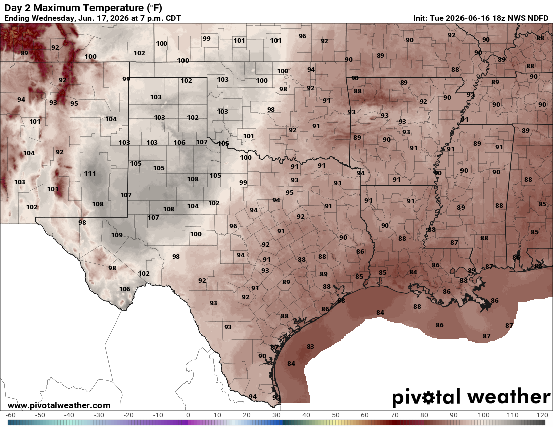
While heat and humidity take center stage in our region, about 150 miles east-southeast of Austin, the Texas Gulf Coast might be dealing with the season’s first named storm on Wednesday, a potential tropical cyclone to be named Arthur.
The tropical system will hug the Texas coastline but will remain close enough to bring a couple of rain bands to areas south and east of Austin.
However, the capital city should remain dry, hot, and humid. Austin temperatures will remain manageable, with highs on Wednesday reaching the upper 80s to low 90s under a partly cloudy sky and a light east to southeast wind.
However, the humidity-driven heat index will be significantly higher than the actual air temperature. Thanks to recent rainfall, we’ll have plenty of evaporating water saturating the air, so brace for increased moisture levels that will push “feels like” temperatures into the 101- to 105-degree range.
Rain-free weather will continue into Thursday, and temperatures are expected to climb even higher as the tropical low pressure system pulls away from Texas.
“Depending on how far east the tropical disturbance gets, we could see temps really ramp up, with the return of triple digits not out of the question across our western areas,” meteorologists with the National Weather Service wrote in their daily forecast discussion Tuesday. “We will need to monitor this closely as this heat combined with remaining moisture across the area could push heat indices well above 110 to perhaps 115 degrees.”
This hot weather might be enough to warrant heat alerts on Thursday. Central Texas will be in a level 3 out of 4, according to the weather service’s HeatRisk map, indicating a moderate to major risk of heat-related illnesses, especially for those spending long periods outdoors without adequate hydration or a chance to cool off.
As always, Texans are encouraged to practice heat safety by drinking plenty of water, taking frequent breaks in air-conditioned spaces, limiting strenuous outdoor activities during the hottest part of the day, and checking on vulnerable family members, neighbors and pets.
Always, “look before you lock,” never leave children or pets unattended in vehicles, where temperatures can rise to dangerous levels within minutes.
It won’t remain hot for too long as our next weather maker will move in by this upcoming weekend. Rain and thunderstorms will begin to build across the region on Friday night and last through Saturday.