
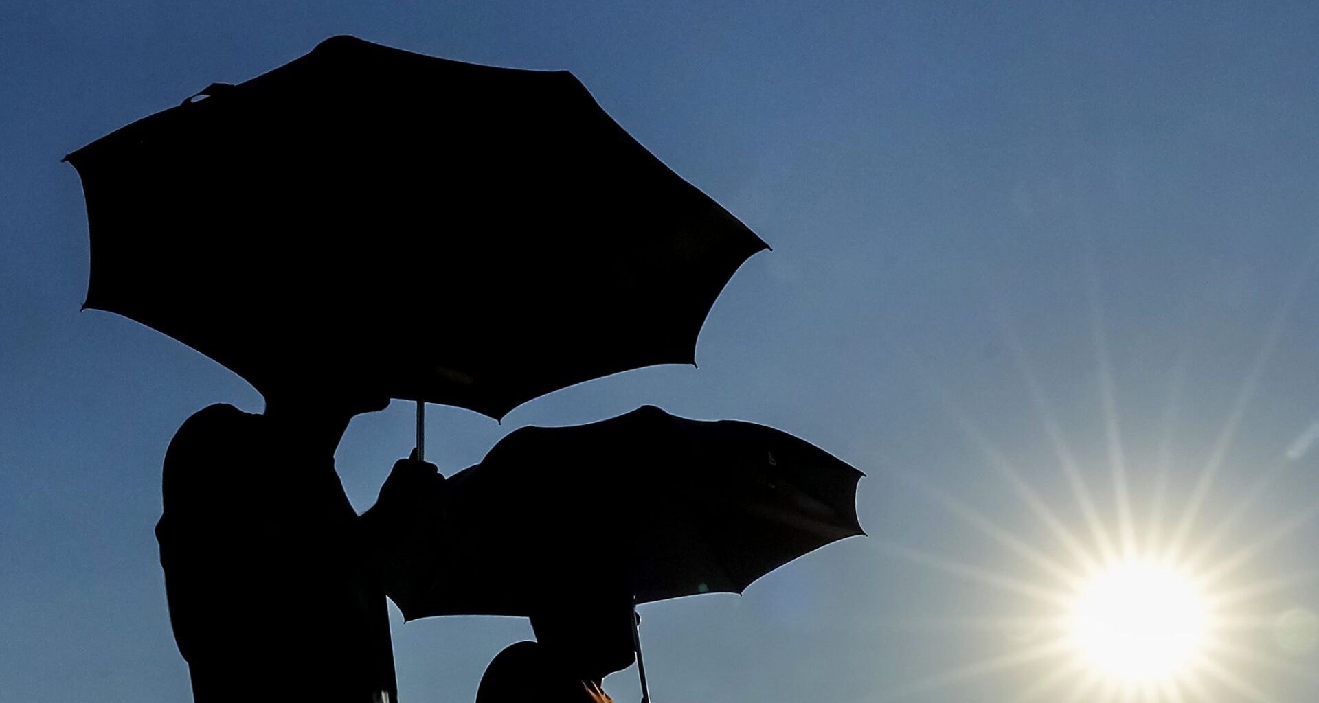
Texas’ extreme heat has returned ahead of Sunday’s summer solstice.
All of North and Central Texas are under a heat advisory issued by the National Weather Service that extends through 9 p.m. Thursday.
Temperatures are expected to reach as high as 98 degrees Thursday, but high humidity will bring the heat index, or “feels like” temperature, as high as 110, according to the National Weather Service’s Fort Worth office.
The heat advisory was issued because the heat index was projected to be at least 105 for two consecutive days, Wednesday and Thursday.
The weather service recommends postponing outdoor activities and staying hydrated in light of the advisory.
There is a slight, 34% chance of thunderstorms Thursday evening. This slight chance will persist Friday before showers and storms become increasingly likely Saturday, according to the weather service.
According to KXAS-TV (NBC5), this heat can be attributed to a tropical system moving away towards the south and a cold front moving in from the north. The front is expected to bring rain later in the weekend.
FRIDAY (JUNETEENTH): Partly cloudy and humid with a 30% chance of showers of thunderstorms. Low: 76. High: 93. Wind: E 10-15 mph.
SATURDAY: Partly cloudy, breezy, warmer and humid with a 40% chance of showers and thunderstorms. Low: 74. High: 92. Wind: SE 10-20 mph with higher gusts.
SUNDAY (FATHER’S DAY & SUMMER BEGINS): Partly cloudy, breezy, hot and humid. Low: 77. High: 95. Wind: S 15-25 mph with higher gusts.
MONDAY: Partly cloudy, breezy, hot and humid with a 30% chance of showers and thunderstorms. Low: 78. High: 97. Wind: S 10-20 mph with higher gusts.
TUESDAY: Partly cloudy, hot and humid. Low: 77. High: 96. Wind: S 10-15 mph.