
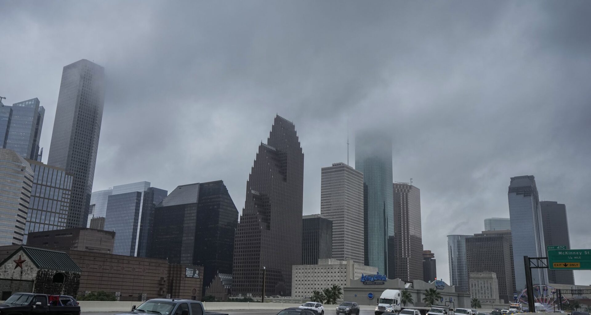
Low clouds hang over downtown Houston, with light showers produced by tropical weather in the Gulf of Mexico on Wednesday.
Brett Coomer/Houston Chronicle
Houston is having one of its wetter starts to June on record, yet it still feels like the middle of August outside.
That unusual combination of frequent rain, tropical humidity and dangerous heat will continue Saturday as Southeast Texas faces another round of scattered thunderstorms, steamy temperatures and the potential for locally heavy rainfall.
Houston recorded 5.5 inches of rainfall during the first two weeks of June, making this the 16th-wettest start to June on record dating back to the late 1800s. The rain has helped prevent temperatures from reaching their full potential, but it has also kept the atmosphere loaded with moisture, leading to high humidity and dangerous heat index values, or humidity-driven “feels like” temperatures.
Article continues below this ad
Saturday’s weather will depend on which wins out: briefly cooling thunderstorms or enough sunshine to push heat index values well above 100 degrees.
Houston weather Saturday brings heat, humidity and scattered storms
Saturday will bring another muggy summer day across Southeast Texas, with temperatures climbing into the lower 90s and heat index values approaching or exceeding 105 degrees in some locations.
Heat alerts are expected to remain in effect for much of the region, as the combination of excessive humidity and above-normal temperatures makes it dangerous for anyone spending extended time outdoors.
Article continues below this ad
On hot days, we rely on the evaporation of sweat from our skin to cool down. But too much humidity makes that process less efficient because the air is already filled with water vapor. The heat index takes this into account to more accurately describe the heat the body experiences, at least better than what actual air temperatures would suggest.
Because your body’s ability to cool down is compromised, the potent combination of the heat and humidity can become dangerous because it increases the risk of heat exhaustion or heatstroke if you don’t take adequate precautions.
If you must be outside, drink plenty of water, wear loose-fitting and light-colored clothing, and take frequent breaks in air-conditioned spaces. Also, never leave children or pets unattended in a vehicle, not even for a minute or two.
A deep plume of tropical moisture remains in place, keeping humidity levels high and limiting overnight cooling. Morning temperatures will start in the upper 70s to lower 80s before heating up quickly during the afternoon.
Article continues below this ad
Summer downpours bring flood risk
Scattered showers and thunderstorms are expected to develop through the day as an atmospheric disturbance moves through the region.
Not everyone will see rain, but any storm that forms could produce torrential downpours in a short amount of time. With parts of the area already saturated from rainfall earlier this week, localized street flooding will be possible where storms repeatedly track over the same location.
HURRICANE SEASON OUTLOOK: The Houston area dodged the worst of Tropical Storm Arthur as a quieter season is taking shape.
Clouds and thunderstorms could help keep temperatures a degree or two lower than they otherwise would be. However, if rain coverage ends up lower than expected, heat index values might climb even higher during the afternoon.
Article continues below this ad
Houston’s wet weather may not last
Houston’s unusually wet start to June could eventually give way to a hotter pattern.
While scattered thunderstorms remain in the forecast this weekend, longer-range outlooks suggest rain chances could gradually decrease heading into the final days of June. Although a drier pattern would allow for more sunshine, it would also mean more efficient daytime heating and higher temperatures.
Article continues below this ad