
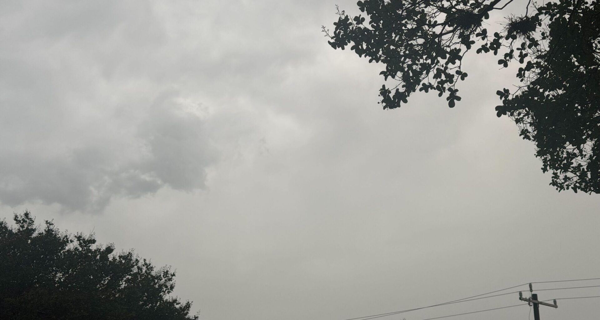
Will the rest of the weekend remain wet in the San Antonio area? Well, the National Weather Service seems to think so, but it looks like we could be trading off one day of heavy rain in some parts of the area for a sunny day on the next.
The NWS says that after a 60% chance of thunderstorms lit up the area overnight, storm chances as the sun rises will remain. “A chance of showers before 7 a.m., then a chance of showers and thunderstorms after 1 p.m.,” the NWS says about Saturday, June 20. A mostly cloudy day could eventually become sunny, but not before some more rain hits the pavement and dirt in the area. The NWS says some parts of the region are still at risk of flooding.
Highs for Saturday will be near 92 degrees as heat indexes topple 100 degrees, getting as high as 102 in San Antonio. There will be some relief thanks to some 5 to 10 miles per hour winds, but overall it could be a little warm as the day progresses with a 30% chance of thunderstorms.
The same could be said for Saturday night, as a low temperature of 77 is something to look forward to, but the 30% chance of precipitation remains.
And then the fun part begins.
Going into the official start of summer on Sunday, June 21, it’ll be mostly clear, with highs in the mid-90s and heavy wind gusts that could climb as high as 25 miles per hour. And then conditions seem to remain the same through the week. So don’t fret y’all, I can hear the pools opening. Your time in the sun is approaching.