
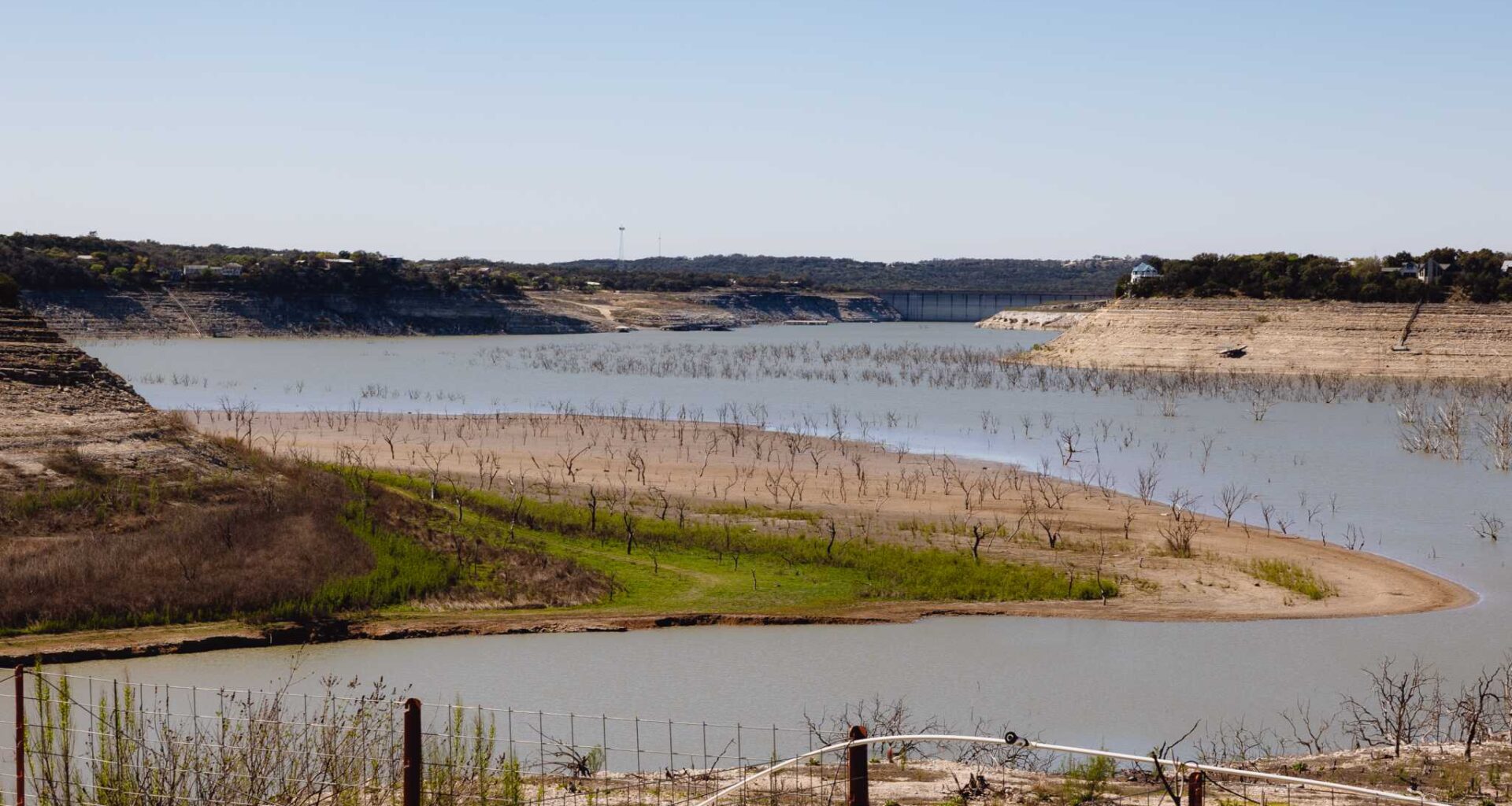
Medina Lake has been less than 10% full for nearly four years. But heavy rainfall over the past week has triggered a dramatic rise in water levels for the struggling reservoir.
The deluge eventually flowed into Medina Lake, which has risen nearly 7 more feet since Friday. Overall, the lake has climbed almost 13 feet in the past eight days and now sits at 989.75 feet above sea level – its highest level since August 2022.
Even with this leap in water levels, Medina Lake still has a long way to go. According to the Texas Water Development Board, the lake remains more than 74 feet below capacity and is just 8.4% full by water volume. Medina Lake had reached an all-time low in May 2025, when it fell to only 1.9% full.
Water levels will likely continue to rise slightly over the next couple of days as runoff from the Medina River continues to flow into the lake. But, those increases are expected to stop by the end half of the week, as rain chances stay low throughout South Texas. Here’s a look at the upcoming forecast.
Monday morning will start with mostly cloudy skies and mild temperatures hovering in the upper 70s to low 80s through 9 a.m. Skies will start to become more sunny by the middle of the day, allowing temperatures to top out at around 93 degrees in San Antonio, which is near average for late June.
The humidity will continue to play a big factor, as the “feels like” temperature is expected to reach maximum levels from 103 to 105 degrees. If you must be outside, be sure to stay dehydrated and take frequent breaks in the shade or indoors.
Even though atmospheric moisture will be high, the high-pressure system overhead will keep rain chances slim to none across the region. Temperatures will also be very slow to cool during the evening, only falling back into the 80s after 8 p.m.
A very similar forecast is expected on Tuesday across South Texas as morning lows in the upper 70s transition to high temperatures in the low to mid-90s. Partly cloudy skies are expected during the morning, turning sunny by the afternoon.
Hot and dry conditions will continue across the region from Wednesday through Friday. However, humidity levels are expected to decrease slightly during this time, leading to more manageable heat index values in the upper 90s to near 100 degrees.
Long-range weather models are showing continued dry conditions for the rest of June and potentially through the first week of July. During this time, daily high temperatures are expected to reach the upper 90s, while lows hover in the upper 70s – typical summertime weather across South-Central Texas.