
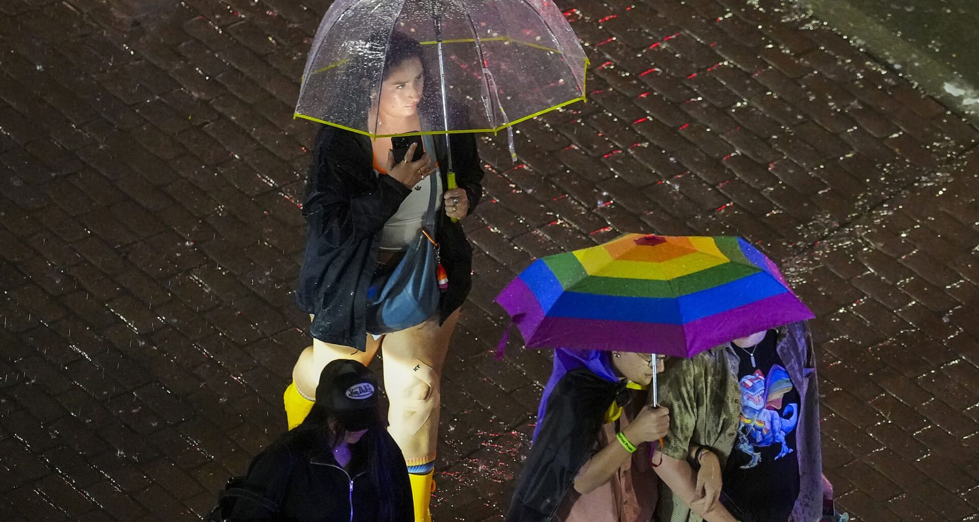
Rain chances remain in the Monday weather forecast after a weekend of on-and-off storms brought flash flooding to parts of the region.
Showers and thunderstorms are expected before 1 p.m. and between 10 p.m. and 1 a.m. in Dallas Fort-Worth, with chances ranging from 20% to 30%, according to the National Weather Service’s Fort Worth office.
High temperatures are forecast to top out in the mid-90s, with a heat index as high as 101 degrees. A mild 10 mph wind is expected to be present throughout the day.
Nighttime temperatures are expected to dip into the 70s, according to the weather service.
The remainder of the week is forecast to see highs in the 90s and lows in the 70s with no expected precipitation.
MONDAY: Partly sunny, breezy, hot and humid with a chance of showers and thunderstorms. High: 95. Wind: S 10-20 mph with higher gusts.
TUESDAY: Sun & clouds, hot and humid with a 20% chance of a stray thunderstorm. Low: 77. High: 96. Wind: S 10-15 mph.
WEDNESDAY: Partly sunny, hot and humid with a 30% chance of showers and thunderstorms. Low: 77. High: 94. Wind: S 10-15 mph.
THURSDAY: Mostly sunny, hot and humid. Low: 76. High: 96. Wind: S 10-15 mph.
FRIDAY: Partial sunshine, hot and humid. Low: 77. High: 95. Wind: S 10-20 mph.