
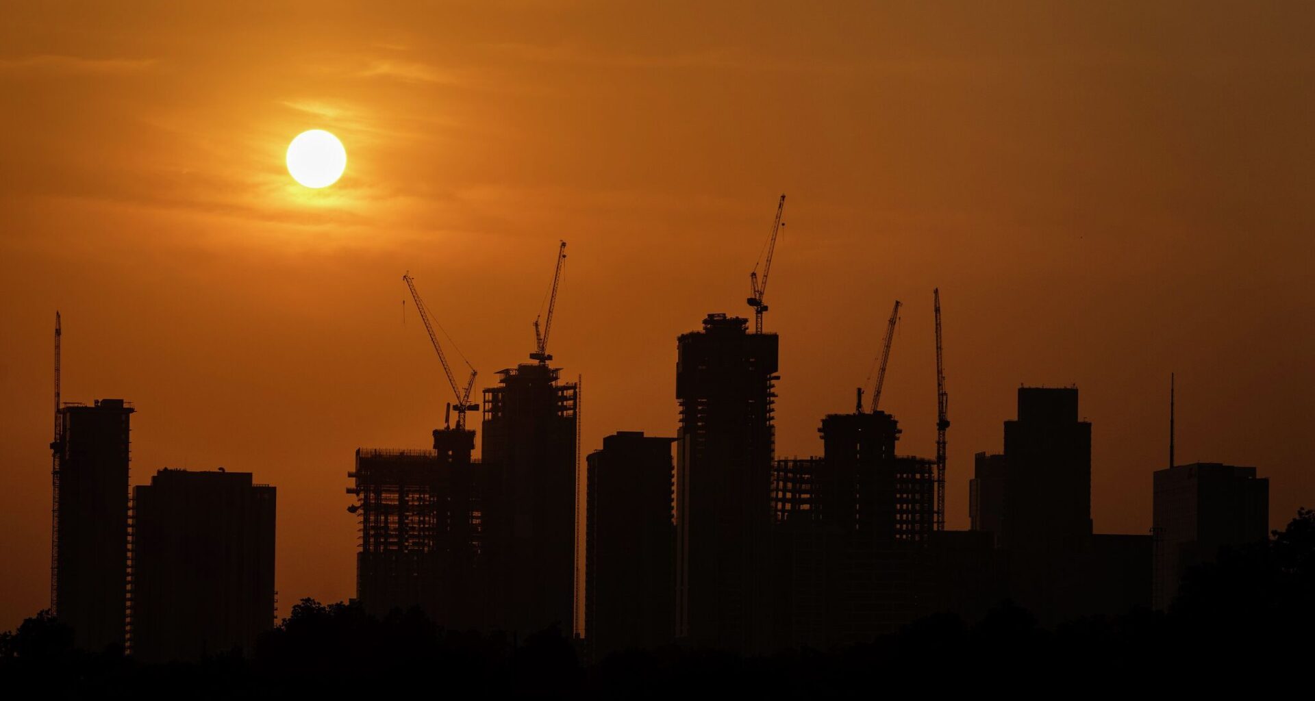
A familiar Texas summer companion, the heat dome, is expected to strengthen this weekend and remain in place through early next week. The result will be the hottest temperatures of the year so far, along with an extended stretch of dry weather across much of the state.
A heat dome, also known as a subtropical high or subtropical ridge, is a large area of high atmospheric pressure that acts like the lid on a pot, trapping heat near the ground. Within a high pressure system, air sinks rather than rises. That sinking air suppresses the formation of towering rain clouds, leading to mostly sunny skies and allowing temperatures to climb day after day.
A low pressure system works just the opposite. Air rises, cools and condenses into clouds, often producing showers and thunderstorms.
“Wherever the subtropical ridge is centered is typically where the more intense heat is,” explained Jason Runyen, warning coordination meteorologist at the regional National Weather Service office for Austin and San Antonio. “When it’s over Texas in the summer it can result in harsh temperatures here, but the ridge can and does shift east and west.”
Young children and pets should never be left unattended in vehicles under any circumstances. According to NoHeatStroke.org, 1,000 children have died from vehicular heatstroke in the past 25 years, including 33 last year and eight so far this year. The annual average is 37.
The National Weather Service also urges residents to:
To get a better idea of what lies ahead, we must look thousands of miles away to the tropical Pacific Ocean. That’s where El Niño and La Niña — when the tropical waters of the eastern Pacific become unusually warm or cool — help influence weather patterns around the globe, including Texas.
After several years of cooler waters with La Niña, the Pacific has now transitioned toward El Niño, when waters turn much warmer than normal. El Niño typically brings above-average rainfall to Texas during the fall, winter, and spring, but its influence on summer weather is much more limited.
During the summer months, one of El Niño’s more noticeable effects is on the Atlantic hurricane season. El Niño tends to increase wind shear across the Caribbean Sea and the tropical Atlantic. Wind shear, or severe shifts in wind speeds and direction with altitude, can tear apart tropical systems that are trying to organize and strengthen.
Meanwhile, the weather service’s Climate Prediction Center most recent three-month outlook calls for a warmer and slightly drier climate from July through September.